
20100828 1224 HLT-Graves Hill
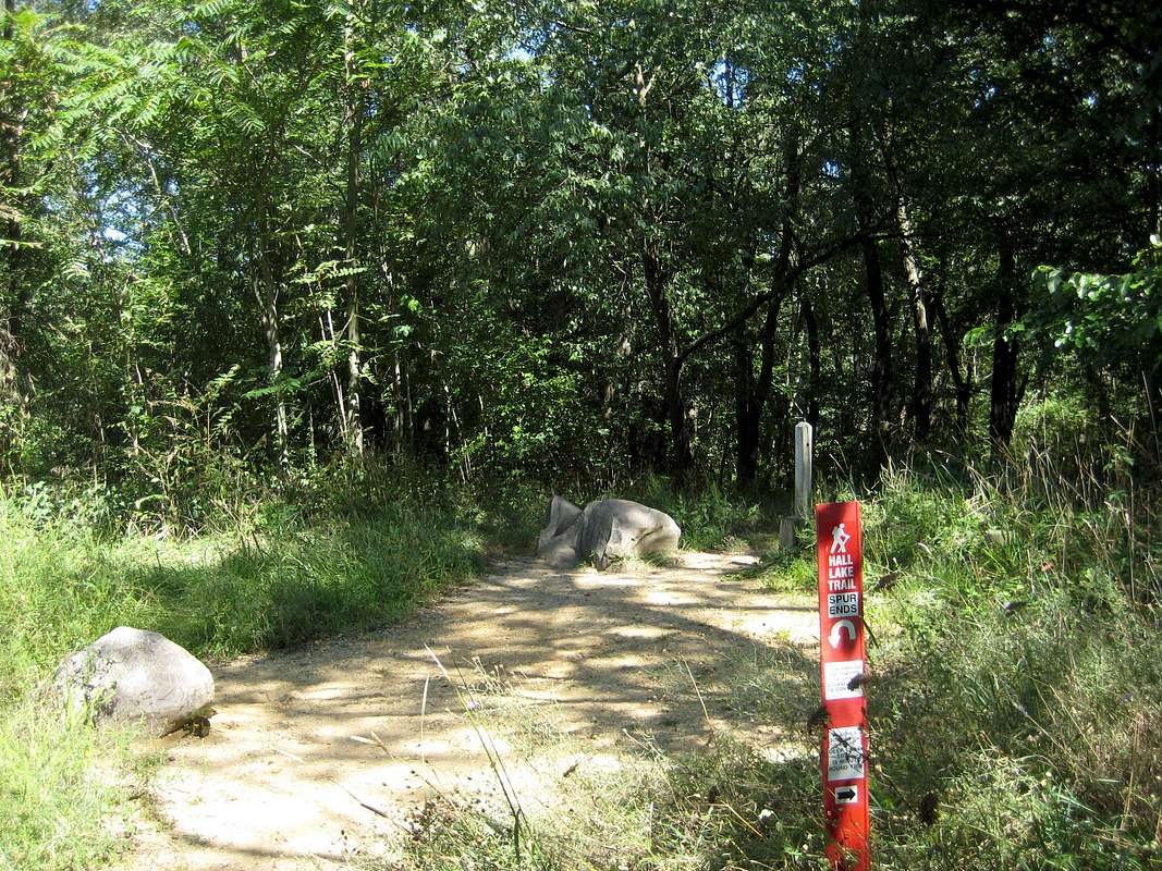
Spur: The Hall Lake Trail spur ends after 1 minute (whew, that was tough!) at the "summit" of Graves Hill. The rocks are apparently the high point. Graves Hill is not a USGS name, and the "peak" is not marked on the USGS map, but the map elevation is 920 (+10) ft.
The trail (unmarked) ahead continues on to the Devil's Soup Bowl, a pretty deep formation, but I did not go that way this day.


