

breezejr - Jul 13, 2005 2:12 pm - Hasn't voted
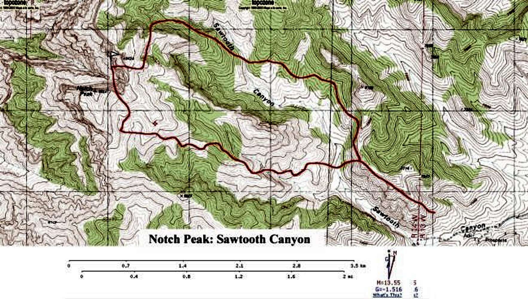
take this map with a grain of saltFirst, on my computer the line drawn onto this map is shifted a little to the northeast of where it needs to be. If you print this and take it with you, make sure the flag lines up with the peak, and the trailhead lines up with the end of the road.
Second, the line drawn for the north route -- once shifted to the right location -- follows a wash that includes a sheer, 100-foot drop. You can, however, follow the cliffline a bit to the north and descend via a slightly nerve-wracking scramble on a knife-edge ridge. Even without that difficulty, the southern route is much easier. It's very straightforward.
Third, don't be thrown off by a small, steep dirt road that branches to the south just after the cabin -- the traditional trailhead. This is not the southern route. Continue right into the steep-walled canyon. The road - I drove into it a ways with an Outback - narrows, then splits. As of July 2005 there was a rock cairn at the split. Turn left here to begin the southern route, which is described very accurately on this site.
In my opinion, unless you are a climber who likes to have rocks raining down on your head during a 2,000-foot vertical ascent, this is THE route to the top of Notch Peak.

PellucidWombat - Jul 13, 2005 5:06 pm - Hasn't voted
Re: take this map with a grain of saltwhoa! I didn't notice that! sorry! I'll make another map w/o the route shifted :-)

MoapaPk - Jul 22, 2007 12:17 am - Hasn't voted
Re: take this map with a grain of saltwas this map ever fixed? The routes still look N-shifted.


Comments
Post a Comment