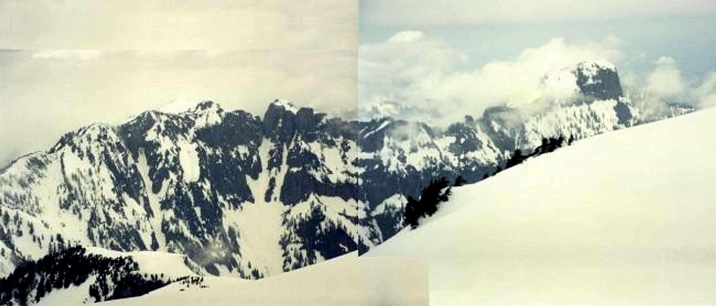
A panorama from
Mt. Index looking roughly WNW on May 18, 2002. The leftmost of the two rocky points in the left panel is "Persindex" (Pk 5360+). The rocky point to its right is Pt. 5320+ but it looks to be the same height as Persindex. I have been atop Pt. 5320+ and I remember it seemed to be the higher of the two. I could have been mistaken. Or, the USGS map could be in error. Either way, who cares, right? Incidentally, Mt. Persis is at far right.


