
Viewing: 1-1 of 1

BackNColo - Jun 24, 2018 2:36 pm - Hasn't voted
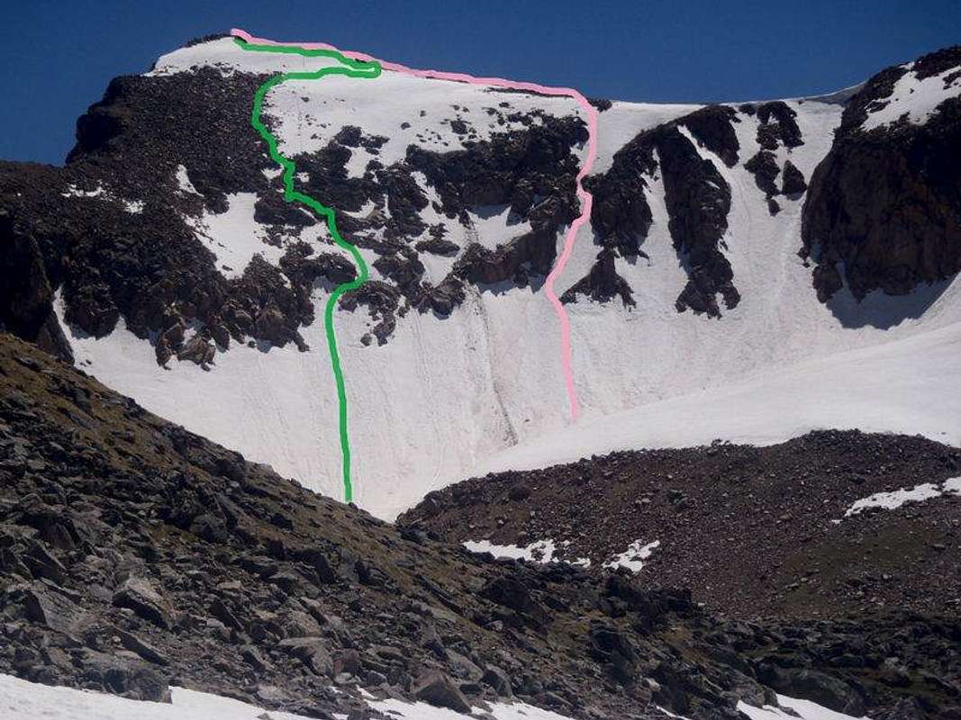
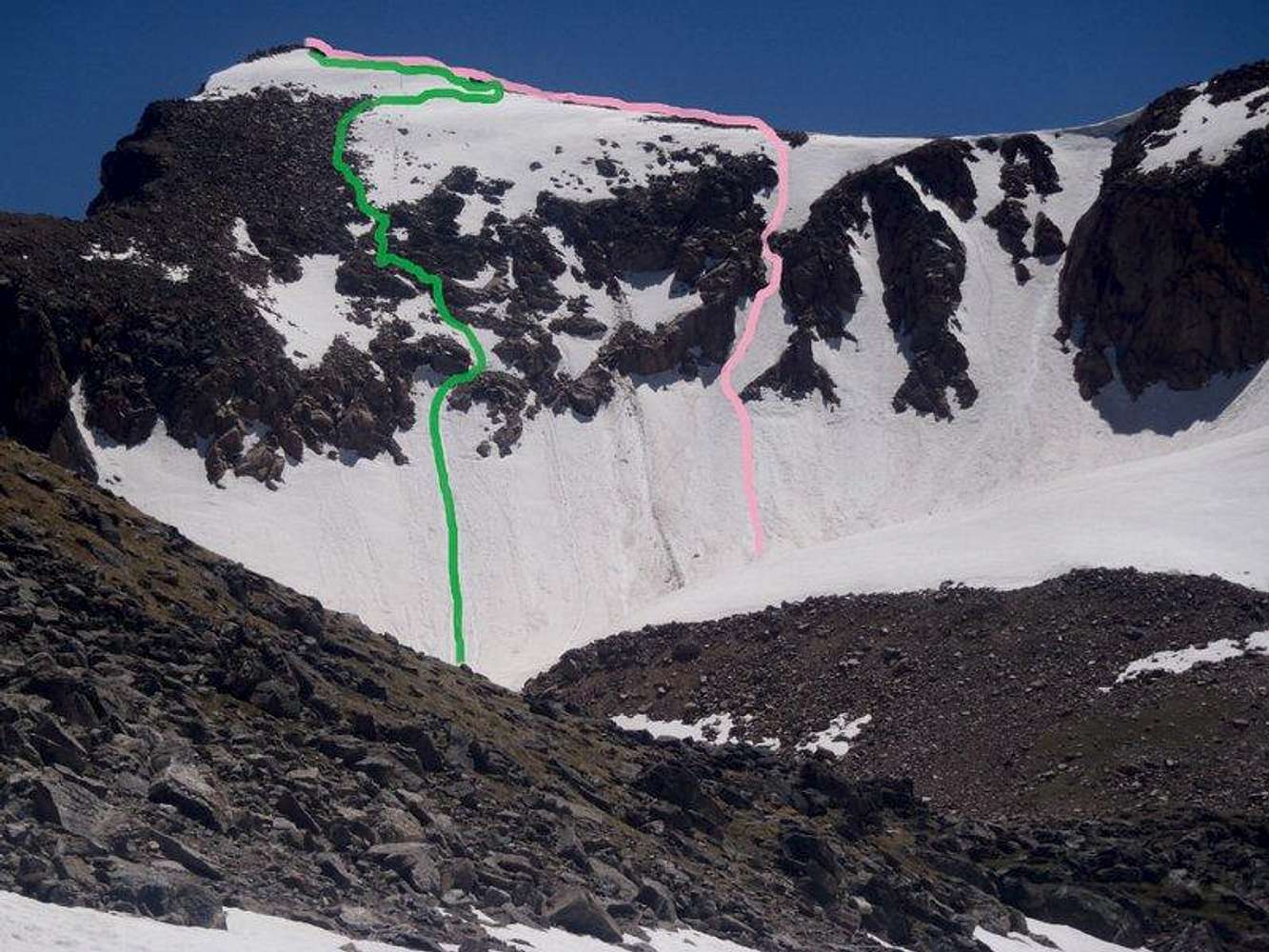
Check out the decent line from below BEFOREWe did this decent route 6/23/2018. We had more snow on upper slopes, but we found that the lower slopes were quite treacherous. The exit (snow chute that connects the decent route to the main snow slope) was melted down from the boulder above. This made the transition onto the snow extremely difficult and also created a choke point/snow bridge right before the main snow field.
Even though the original poster mentioned it, I'll say it again- This ENTIRE face is covered with loose rock. Frequently loose gravel on rock faces.
Viewing: 1-1 of 1


Comments
Post a Comment