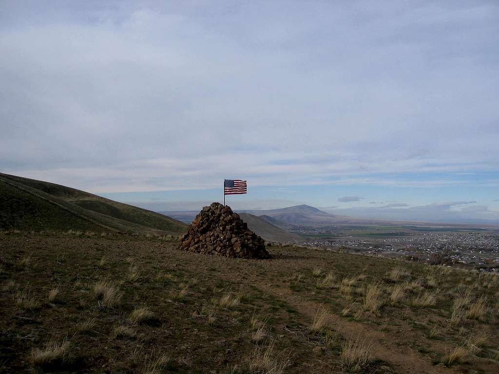
This huge cairn once stood proudly for years as a marker even before the new trails were put in. Folks would hike up a rough ATV track and place a flag every 4th of July and January First. The rocks of the cairn also harbored a geocache but both the rocks and the geocache are no longer there. This is about at 1250 feet above sea level which was also the height of Lake Lewis
(see Bruce Bjornstad's book, "On the Trail of the Ice Age Floods" for more information or go to google.
