
|
|
Mountain/Rock |
|---|---|
|
|
40.55881°N / 105.83703°W |
|
|
Larimer |
|
|
Hiking, Mountaineering, Sport Climbing, Toprope, Bouldering, Scrambling |
|
|
Spring, Summer, Fall, Winter |
|
|
10847 ft / 3306 m |
|
|
Overview
Bald Mountain is one of several steep-sided, and relatively flat-topped mountains in what is sometimes referred to as the "Neota Flattops". Most of the flat-topped peaks do not have names, but Bald Mountain is one of the two flat-topped peaks that is named (the other is, not surprisingly, Flat Top Mountain.) Bald Mountain is also one of five named mountains in the 40,000 acre Neota Wilderness Area.
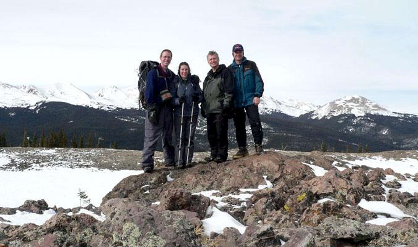
The summit of Bald Mountain provides great views in all directions. You can see the Medicine Bow Range to the west-southwest, west, and northwest; the mostly forested Laramie Range can be seen to the north and northeast; the high peaks of the Mummy Range can be seen to the east and southeast; while the northern peaks of the Never Summer Range, and the nearer Neota Flattops can be seen to the southwest.
Getting There
There are many ways to get to the summit of Bald Mountain. Unless you want to rock climb, the only way to get to the summit is by approaching it from the north or south, as the west and east side of the mountain are cliffs that require at least difficult bouldering. For those who are considering rock climbing, be aware that the rocks are very crumbly on the sides. Anyway, for those who plan to hike and scramble to the top, there are three main routes. Each route description starts at Highway 14 between Chambers Lake and Cameron Pass.Route 1: Long Draw Road (~2.5 miles one way from the Blue Lake TH on Hwy 14)
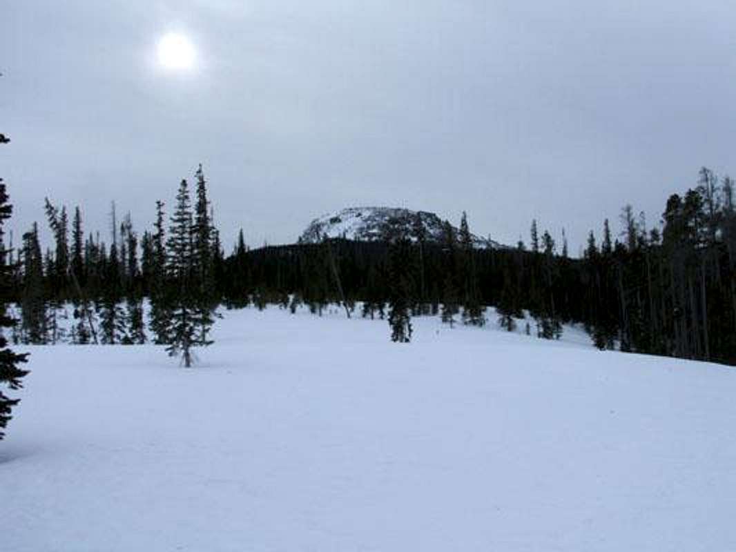
 Hiking up Long Draw Road
If it is during the part of the year when Long Draw Road is open, find a place within the first half mile of the road up from Highway 14, where you can pull off and park along the road. If it is during most of the year when the road is closed, you'll have to park at the Blue Lake Trailhead on Highway 14 and hike up Long Draw Road. The shortest way is to hike 0.6 mile up Long Draw Road to a Y-intersection, where there is a sign that indicates that no off-road vehicles are allowed to go on the "trail" to the right. There is also an old faded yield sign facing up the trail at the intersection. This "trail" is sometimes called the "Long Draw Ski Trail" and appears on the 1:24K USGS Topo Maps as a Jeep Road. Take this trail up 0.2 miles to another intersection with a trail heading off to the right (this trail is not shown on the 1:24K USGS Topos, but is depicted on the 1:100K USGS Topos as a lasso shaped road.) This trail is sometimes referred to as the Meadows Ski Trail. Follow it up for about a half mile or so, to where it starts to turn toward the west, then cut off trail and head toward the southeast (130°) to the base of the tree line on the north side of the mountain (approx. 40.562N 105.837W). From tree line, you can see a steep rocky slope leading up to the summit. Pick the way that looks best to get to the top (while avoiding avalanche danger when there is any.) A 500 foot scramble takes you up to the flat top of the mountain, and a small mound on the east side is the actual summit.
When there is the risk of avalanche danger, you can also detour around the west side of the mountain until you come upon a short break in the cliffs along this side of the mountain, where the slope is surprisingly gradual. For more on this route, you can read a trip report on this route variation.
Route 2: Trap Park (~2.5 miles one way from Trap Lake TH)
During times of the year when Long Draw Road is open (I assume if it is closed, you will likely take Route 1), drive up Long Draw Road from Highway 14 to the Trap Park Trail parking lot (about 2.9 miles up Long Draw Road). From here, hike up the Trap Park Trail about 1.2 miles to where it crosses Trap Creek (approx. 40.548N 105.826W), then head off trail toward 300° to a saddle located at approx. 40.551N 105.832W. From here, take whichever route you want toward Bald Mountain, which is at a 340° heading. A small mound on the east side is the actual summit.
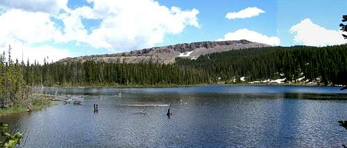 The unnamed flat-topped mountain seen looking east across Zimmerman Lake
Route 3: Zimmerman Lake (~4.0 miles one way from Zimmerman Lake TH on Hwy 14)
From the Zimmerman Lake TH on the east side of Highway 14, hike the 1 mile up to the lake and go around the north side of the lake, before cutting off trail and heading east about 0.3 miles to the base of the unnamed mountain to the east. From here, follow the base of the mountain around to its north side (approx. 40.551N 105.838W), following pretty much the same elevation as you work your way around the mountain. From here, head toward the northeast and then north to the summit. A small mound on the east side is the actual summit.
Red Tape
Bald Mountain is located on the border of the Neota Wilderness Area, so Wilderness Rules apply, in addition to any US Forest Service Rules.Camping
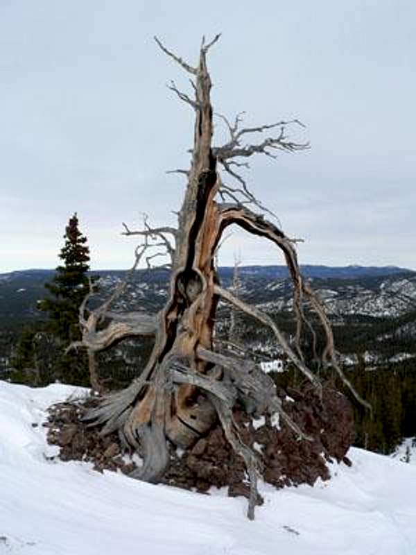 A twisted tree
The mountain is in a National Forest, and part of it is in the Neota Wilderness area, so be sure to follow all appropriate camping regulations.