Beartooth 12er's, Glacier Peak and Mount Villard and Aero Lakes
Click on the following link and mountain name for interactive maps and other resources.
This trip report is more of a photo album record of my backpacking and climbing experience to Aero Lakes, Glacier Peak and Mount Villard. Glacier at 12,351 ft and Villard at 12,345 ft are Montana's 10th and 13th highest peaks, depending on which list you go by. Glacier is tied with two other peaks, Beartooth Mountain and Bowback Mountain for 10th highest. Granite Peak, Montana's highest at 12,799 ft is a little more than a mile to the Northeast of Villard.
How to get there. The Aero lakes traiihead, which is the trailhead used to approach anything along the south side of Granite Peak and nearby peaks. Drive East of Cooke City on Hwy 212 (Beartooth Highway) for 2 miles and turn north onto Lulu Pass Road. Go 2.5 miles (mostly gravel) to a large junction (Goose Lake junction) and locate a short road off to the right. Turn right (east) onto this road and continue for a rougher (but still passable for most cars) quarter mile to its end at a small mining cabin with mining relics scattered around. There is room for about 6-8 cars here to park.
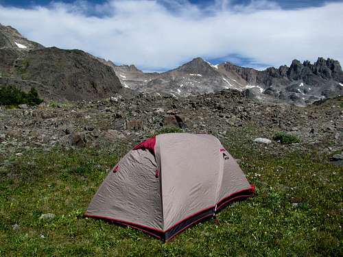
I packed in on Friday, Labor Day Weekend 2008 and arrived at Lower Aero Lake just before dark and bivy'd for the night... pictured below
First night bivy Lower Aero Lake
For all you avid fishermen, there are some large trout in the Aero Lakes but not easy to catch. There are also a ton of other lakes to the South and East including Rough, Sky Top, Cairn, Fossil Lakes and many others within a few hours hike of Aero and close to each other. A fisherman could easily spend a week traveling to various lakes and barely experience it all.
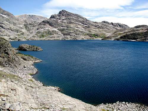
Lower Aero Lake
Saturday morning I packed up and hiked to a location between Lower and Upper Aero Lakes to make base camp for a weekend of fishing and peak bagging. Prior to leaving Lower Aero lake, I tried my luck unsuccessfully with my fly rod to land some of the large cutthroats known to inhabit the Aero lakes. If I ever return here, I'll bring a spinning outfit as backup.
![Unnamed Image]()
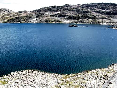
Base camp betweem Lower Aero Lake and Upper Aero Lake
After setting up base camp, I tried fishing the small stream that flows between the lakes. I saw that someone else had been there before me and left the entrails of a couple of large cutty's in the stream. I did see a couple of very large and very spooky cutty's in the stream.
After base camp was set up and I had done some more unsuccessful fishing, I prepared my day pack for some afternoon scrambling. I surveyed a route to approach and ascend Glacier Peak first and started up.
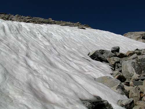
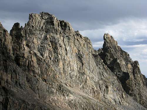
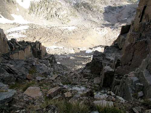
Heading up a gully to Glacier Peak
Heading up a gully to Glacier Peak
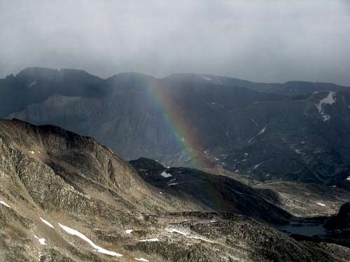
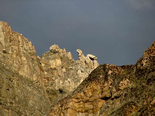
View Southeast toward Villard Peaks and Spires
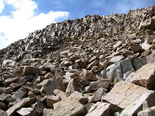
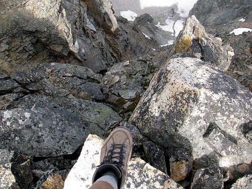
The climb started with class 2 scrambling and soon became steeper and trickier class 3 scrambling. Although class 3 climbing isn't as technically challenging as class 4 and 5, negotiating steep loose talus boulder fields can be potentially quite dangerous, especially when traveling solo. I have been on a number of talus slopes that were a lot more nerve racking than scaling class 5 rock faces without ropes and 1000 ft plus exposure. Some talus slopes approaching Crazy Peak and Mount Wood come to mind as well as bushwhacking up Phantom Creek once with a 60 lb pack. Coming back down the Phantom Creek drainage I stepped onto a large flat boulder about 3-4 ft in diameter and maybe 6-12" thick and weighing maybe 500-600 lbs. It was precariously balanced and my weight caused to slide down hill. my feet went out from under me and my rear end hit the surface of the rock hard with the weight of my pack strapped to my back. The fall broke my tail bone and the rest of the 2 miles of bushwhacking and 3 miles of trail were very uncomfortable to say the least. Thank God the injury wasn't worse. Go slow and very carefully when traversing talus slopes.
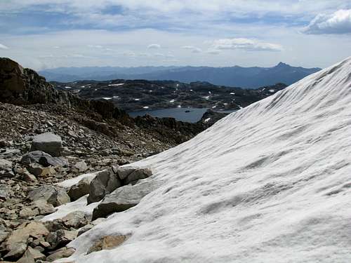
Looking back at Upper Aero Lake
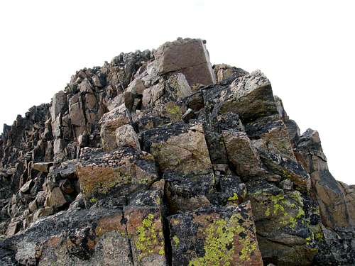
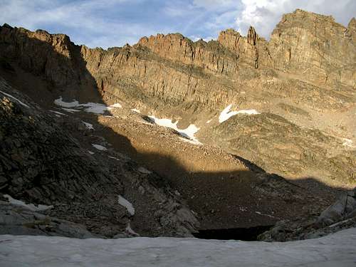
Looking up another 200 ft of class 3 scramble to Glacier Peak summit
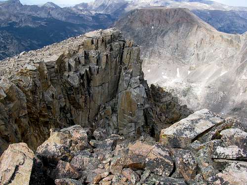
Just below Glacier Peak summit looking West
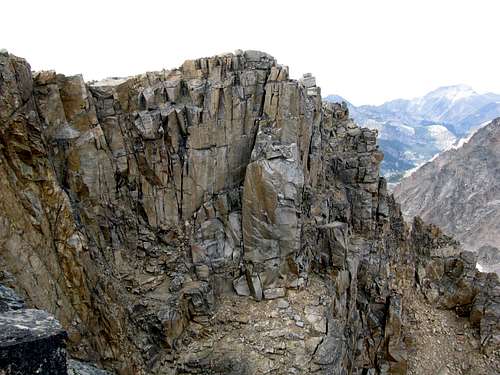
When you get to the ridge and make the final push to the summit there will be some mild class 4 scrambling. The North face here drops off
almost straight down for maybe 1000 ft or so.
Just below Glacier Peak summit looking North looking toward the West Rosebud Drainage
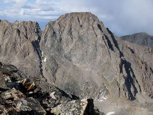
View Northeast toward Granite Peak and West Granite
I took the opportunity to survey this view of West Granite's Southwest aspect for a possible route to the summit. It looks doable but a lot of very sketchy looking talus.
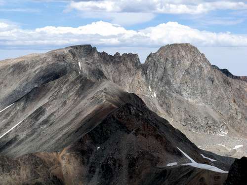
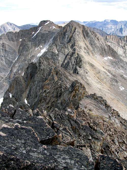
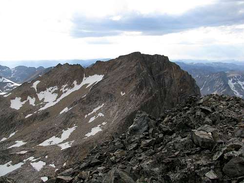
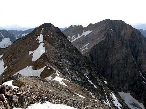
Villard's East and West Peaks
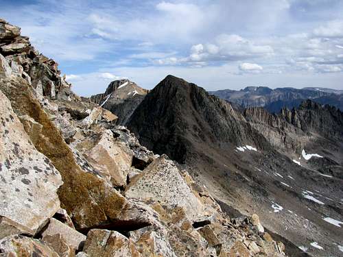
View from Glacier Peak East toward Villard
The ridge between Glacier and Villard
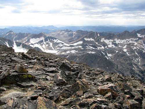
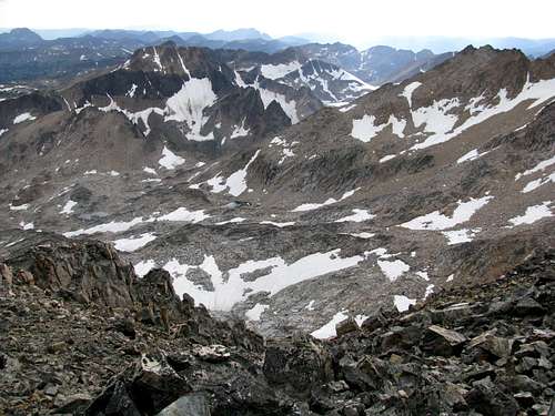
View North from summit of Glacier Peak, upper West Rosebud drainage
View Northwest from summit of Glacier Peak
View Southeast with Villard Spires from summit of Glacier Peak
Making the traverse from Glacier Peak to Villard
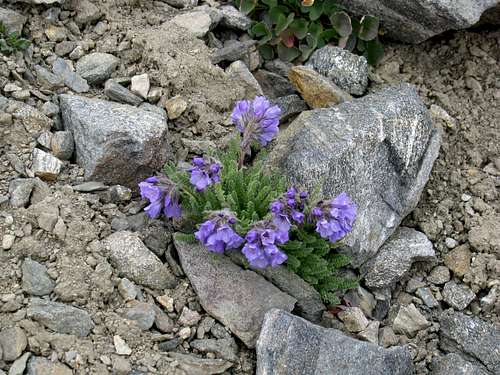
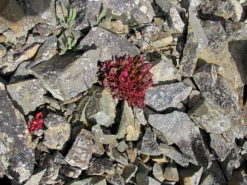
A touch of color in an otherwise desolate landscape
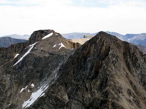
View of Glacier Peak from Villard's West Peak
View Southwest from Villard's West Peak
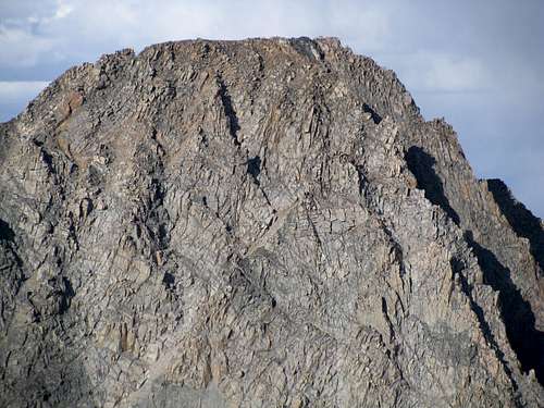
Granite Peak South Face close up - awesome
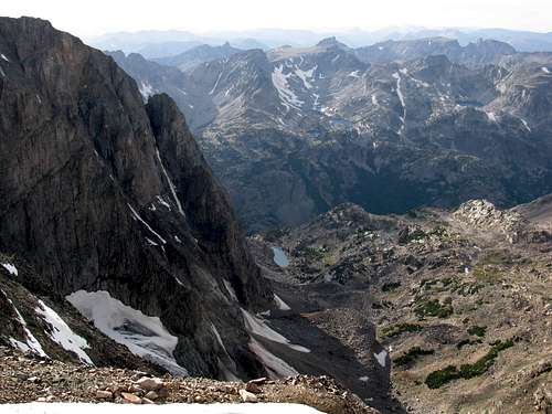
View North from East Villard peak into Huckleberry Drainage
Looking West from East Villard Peak to West Villard and Glacier Peak
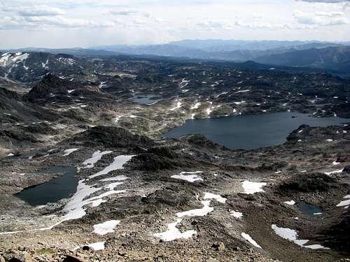
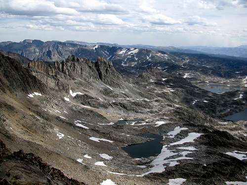
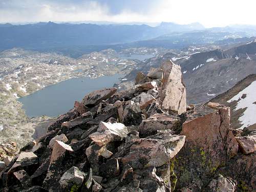
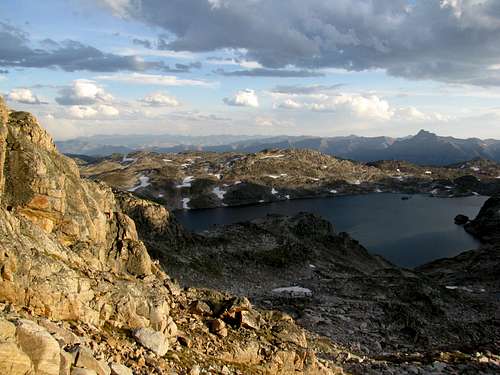
View of Upper and lower Aero lakes fron East peak of Villard
Summit Log found in crack of a rock
I found a summit log rolled up in the plastic script container stuffed in a crack of a rock. It had about 8 entries over the last 7 years, the last entry being 2 years prior.
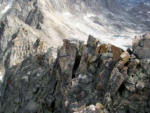
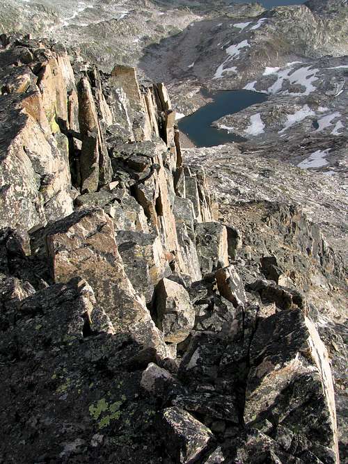
View down the Spire ridge
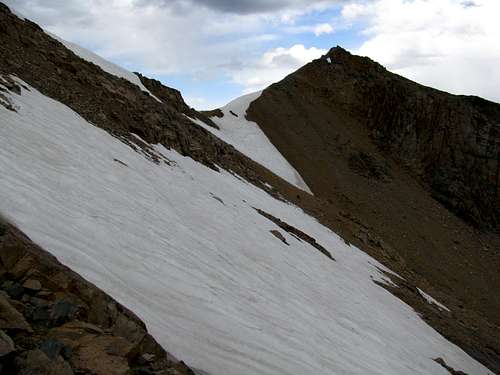
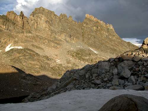
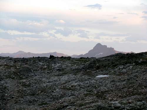
Retreat back to base camp
Retreat back to base camp
Retreat back to base camp
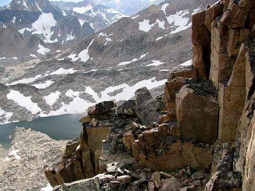
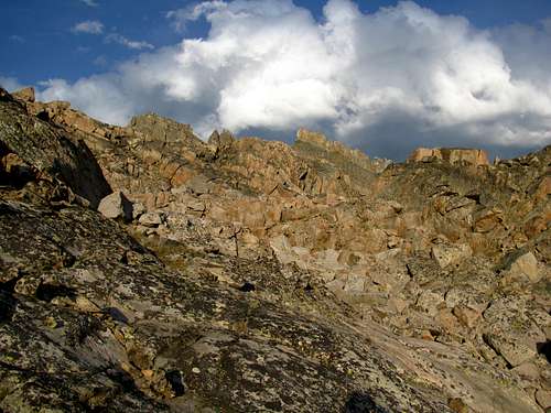
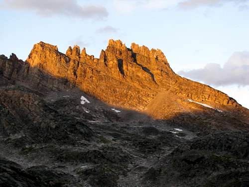
Retreat back to base camp - the Spires
Retreat back to base camp - the Spires
Retreat back to base camp
Retreat back to base camp
Retreat back to base camp - nearing Upper Aero Lake
![Unnamed Image]()
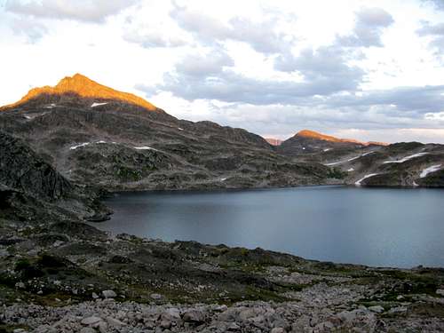
Retreat back to base camp - the Spires at sunset
Retreat back to base camp - hiking around Upper Aero Lake
Retreat back to base camp - just over the rise
Turned out to be a great day for some scrambling and bagging a couple of Montana's 12er's. The next day a storm started building so I packed up and left a day early catching no Cutthroats. All in all, still an awesome trip.


Comments
Post a Comment