

lcarreau - Feb 20, 2008 7:40 pm - Voted 10/10
We had afriend of the family who
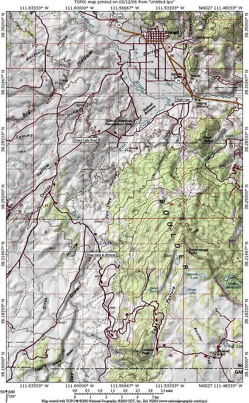
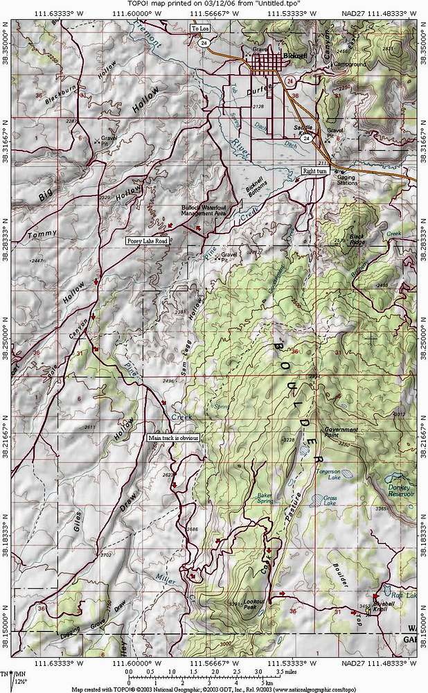
fished for trout at Donkey
Reservoir in the early 1990s.
He met his demise when he was
suddenly struck by lightning at
another nearby lake in Utah's
Dixie. People normally camp at
these lakes; the fishing is good
and the scenery is excellent!

Dean - Feb 21, 2008 2:04 pm - Hasn't voted
Re: We had aSad to hear about someone getting nailed by lightning. I could see how it could happen though. You are right about the excellent scenery. Thanks for the comments, always interesting.

Langenbacher - Sep 5, 2019 9:45 pm - Hasn't voted
Google Maps Gets ItFast forward to 2019. Google maps doesn't always get it right, but now they agree perfectly with your route. I downloaded offline maps to my phone and will head up there this weekend. Looking forward to the highest stair on the Escalante Staircase, the highest plateau in the country, and hopefully finding expansive views of the surrounding landscape, along the edges of the plateau - we'll see if my Prius can do that.


Comments
Post a Comment