
|
|
Mountain/Rock |
|---|---|
|
|
48.74076°N / 122.05593°W |
|
|
Whatcom |
|
|
4230 ft / 1289 m |
|
|
Overview
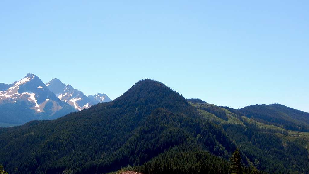
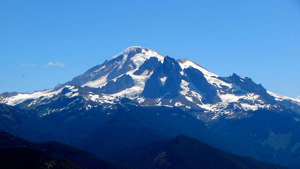
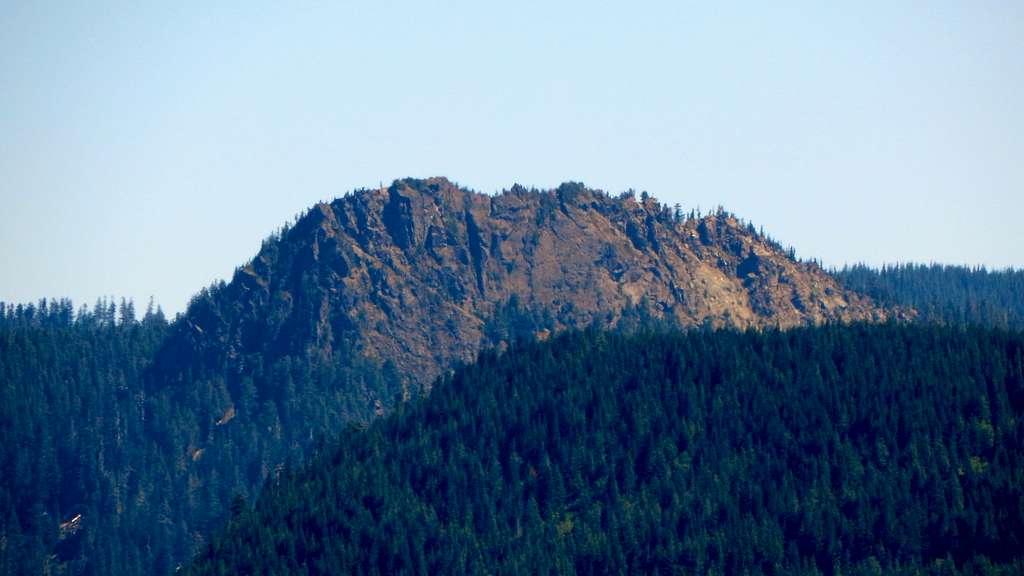
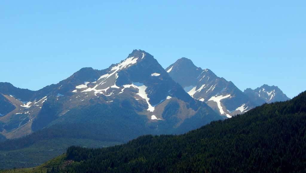
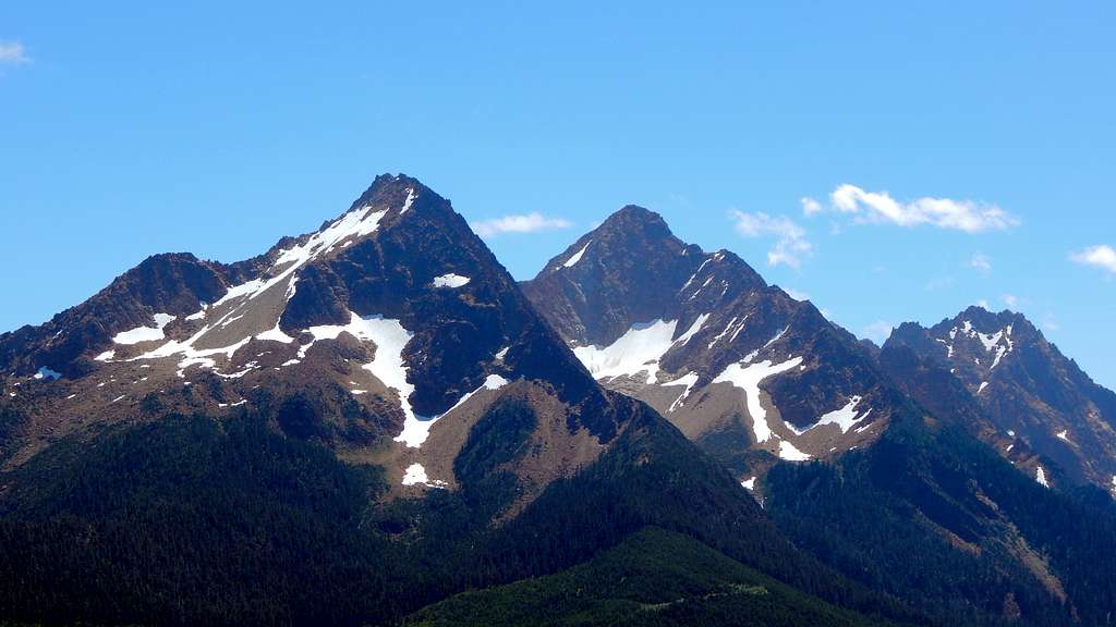
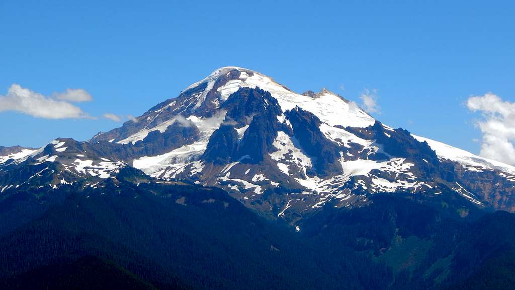
Bowman Mountain is a 4230' forested hill located 18 miles N/NE of Sedro-Woolley, and 11 miles W/SW of Mount Baker. While it will never be confused as a mountaineering objective, it has potential as an off-season viewpoint when more worthy peaks are snowed in. Additionally, with 1090' of prominence, the main summit may be just enough to tempt local prominence peakbaggers.
For those who just desire a 360 degree view, without the hard work demanded by 3600' of elevation gain, Bowman Mountain Lookout (3356'/336' prominence) may be a more attractive choice.
Getting There
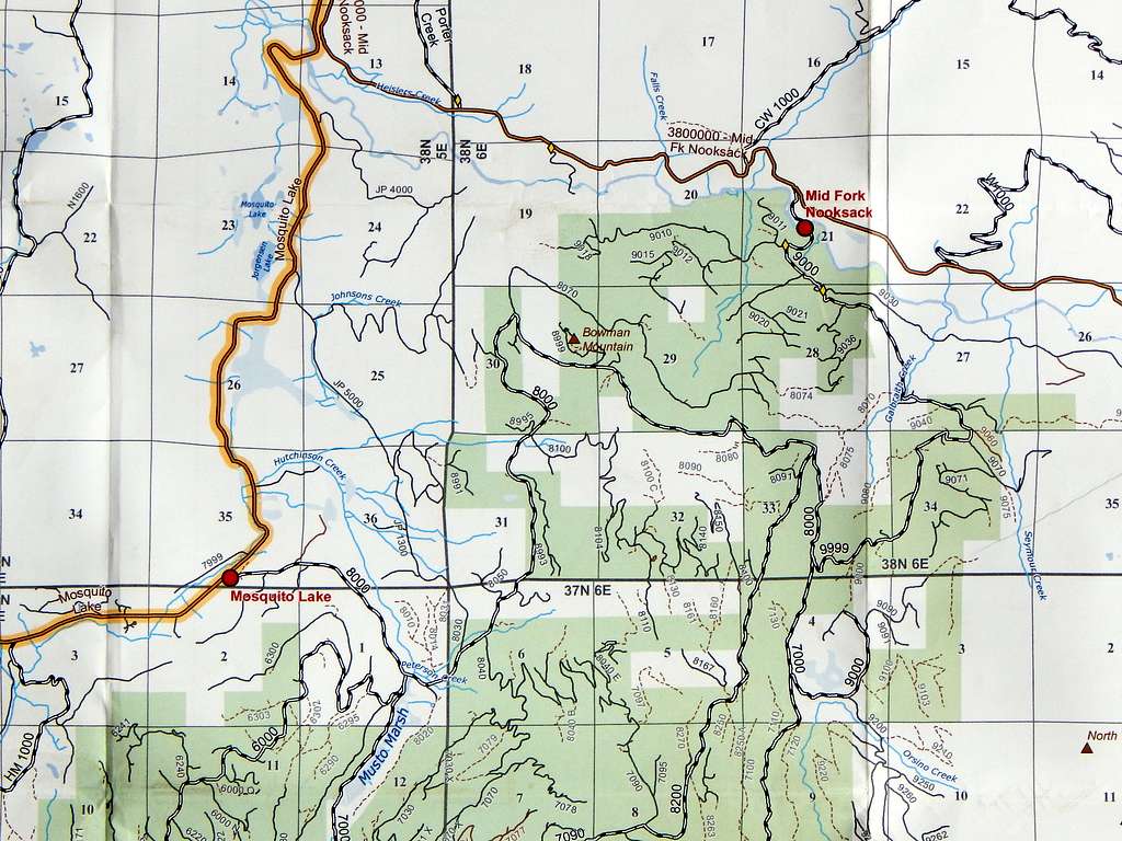
Navigate yourself to the 'town' of Acme, which is located 15 miles north of Sedro-Woolley on SR9. Just north of Acme, cross over the South Fork Nooksack River, then turn right on Mosquito Lake Road. Follow Mosquito Lake Road for 4.0 miles, and park at a gated gravel road (elevation 650') on the right hand side of the road. Park in such a way as to not block the gate. This gravel road is shown as 'Blue Mountain Road' on USGS maps. In Weyerhaeuser-speak, it is the '8000' mainline. Please note on the above map that Bowman Mountain Lookout is shown as 'Bowman Mountain'.
Speaking of Weyerhaeuser, they have recently sold the land behind the Blue Mountain Road gate to Hampton Lumber, so please ignore any remaining Weyerhaeuser signage. What the long term implications are of Hampton Lumber owning this land (as it relates to non-motorized recreation), I do not know.
Alternate approach: For Bowman Mountain Lookout, one could possibly save a little elevation gain by starting on the '9000' mainline off the Middle Fork Nooksack River Road. One could also use the '9000' mainline for Bowman Mountain's main summit, but it would involve a little more travel on brushy, decommisioned road.
Route
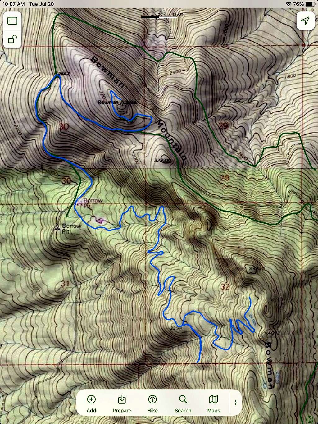
Hike or Bike up the Blue Mountain Road (ignore the '6000' mainline leading right at 1.6 miles) for 3.9 miles.At this point, you will be at a major intersection/quarry area (elevation 2120'). Now for the big decision - go left for easy views, or right for the true summit.
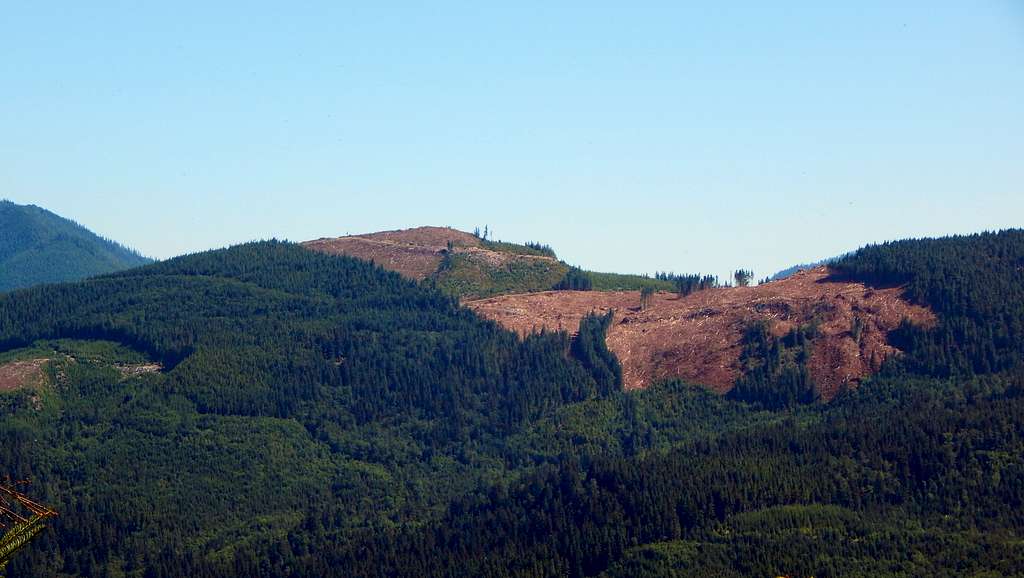
Assuming you went left, continue up the mainline another 1.8 miles. Locate a spur on the left at just over 3000' elevation, and just before the mainline passes through a ridge saddle. Follow this spur just over 1/2 mile to the recently logged high point, which provides unrestricted views. Some concrete near the summit suggests that at one time this point may have had some form of structure/lookout.
Assuming you went right, follow the '8100', then the '8140' spur (as there are several other spurs, please have a map available) for 3.5 miles. At this point, you will be just 800' south of Bowman Mountain's summit. Scramble up a short distance E/NE, until intersecting an old, brushy roadbed. Follow this roadbed a short distance north to the true summit. Short trees will obscure the view a little, but by moving around a bit, peakaboos in most directions can be obtained. When looking at Google Earth, it did appear that there may be some cleared out areas in the near vicinity of the summit, which I did not take the time to investigate.
Red Tape
I do now know what restrictions Hampton Lumber will place on this land. At the time of my visit, there were no signs specific to their company.
When to Climb
Any time. Probably best in off-season, when access to the 'real' mountains is restricted by snow.
Camping
When this land was owned by Weyerhaeuser, one could camp with the appropriate permit. At this time (2021), I do not know what Hampton Lumber will allow. Probably best to play it safe and not camp on this land.