Comments
No comments posted yet.

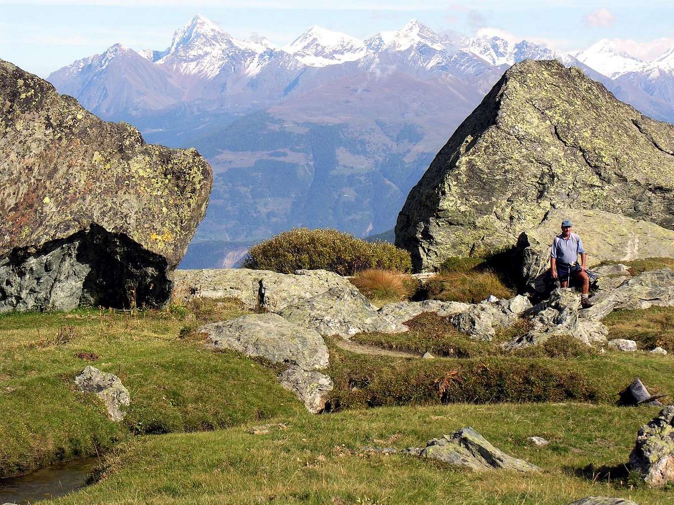
RETURN from CROSATIE's POINT (2.926m) Nearby the Fond's Barracks (2.310/37m), on the homonym "Vallone". HIGH ROUTE of the Aosta's Valley number 2/path number 21
In the background from left the Western Mount Emilius Mountain Chain and the Punta Tersiva, from high to low and from left to right.
a) - In distance through Northern and North-northwestern watersheds: from North: The Cordagnì, Becca of Seneva, Blantsette Head and Pass (junction with Black Triangle); from N-NW Tersiva Point (3.515m; amongst the Cogne's (Urtier's and Grauson's-Doreire's "Valloni"), Fénis-Clavalité Valleys) to Invergneux also Hevergnes (= of Winter) Pass and initial part of Penne Blanche Mount up the Urtier's "Vallone" in of Cogne Valley.
b) - In foreground on the main watershed from Northwestern-Northern toward Southern: from NW: Becca of Nona, Mount Ròss of Comboé, Little Emilius (connection with Emilius); from North watershed and from Mount Père Saint Laurent-Becca of Seneva-Testa Blantsette: Emilius's Black Triangle, Mount Emilius (3.559m), Three's Capuchins Pass and Point, Arbolle's Pass, Red Points (Eastern, Central and Western), Pass and Mount Valaisan, Garin Peak over the homonym Lake, Lavà's Points (three), Fleurie also Fiorito Point, Fleurie Pass, Arpisson's Tower, Pila's NE Pass, Arpisson's Cut Points (three), Pila's SW Pass, Arpisson's Point.
c) - In higher and midst second plan: Garin Hill and Plan's Bessey Point (3.085m) ("raccord" E-NE/W-SW, from Mount Valaisan to Valletta's Point).
d) - In middle centrally: Mount Ròss of Comboé (3.301m) and Ròss Pass, Frozen Lake's Points (eight tiny elevations near the Frozen Lake), Trident of Comboé (three points) up the Arbolle's Vallone" ("liaison" on inside NE/SW watershed, between Comboé's/Arbolle's "Valloni") and two Lochs, with of Arbolle Shelter (2.516m around).
e) - In the low centre of picture: Black Head over Chamolé's Loch, Mount Belleface to (join with Valletta on secondary North/South watershed) Valletta's Point (3.089/90m).
f) - Frontally and in bottom: De La Pierre, Drink's, Couiss's Points over the Leissé (= Abandoned) Loch, Grevon's "Plate", Mon(m)pers, Tsa Setze Points and Pass, Quota 3.002m also Valletta's Western great Shoulder (in the clouds), Valletta's Point (watershed NW/SE, between Pila's Basin in North and Cogne's Valley to Southern).
September 28th, 2006
Picture of Emilio Bertona


