Crossing the scree on the Lorenziberg
My map showed a trail across the Lorenziberg to Piz Starlex. I didn't have any information about it, but I figured, it's on the map, so I'll give it a go. Mind you, I had already experienced that some trails on maps by this manufacturer were actually grade II climbs, and some trails had all but disappeared over the years.
In this case, it was the latter. In fact, earlier in the day I couldn't even find the start of the trail. According to the map, it should start just east of the S-charl pass, a high Swiss-Italian border crossing (which itself has a big and clear trail). But not finding the start didn't stop me; I was above the tree line and the slopes at that elevation were grassy and not overly steep.
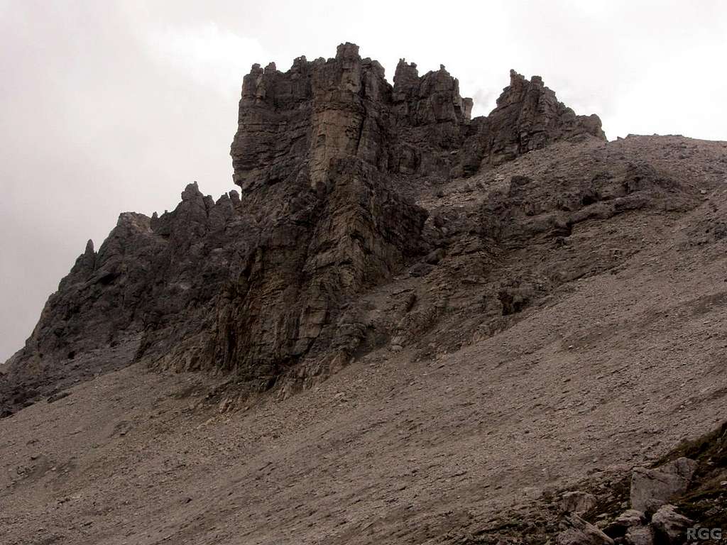
By now it's still not too steep, but higher up the grass made way for scree. Lots and lots of it. And only occasionally do I see a cairn or a vague trace of a trail. Still, I'm making progress. Can't see the Lorenziberg summit just yet, let alone Piz Starlex, but I'm not far from the Lorenziberg north ridge anymore. Perhaps there is a trail there. Then again, it may turn out to be UIAA grade II once more...
25 Aug 2014.


