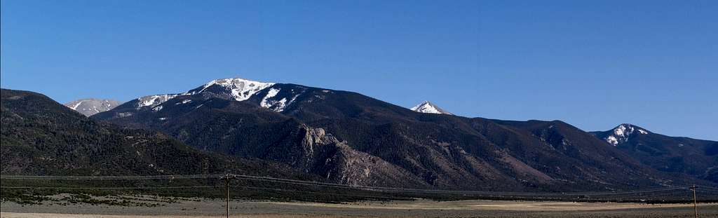
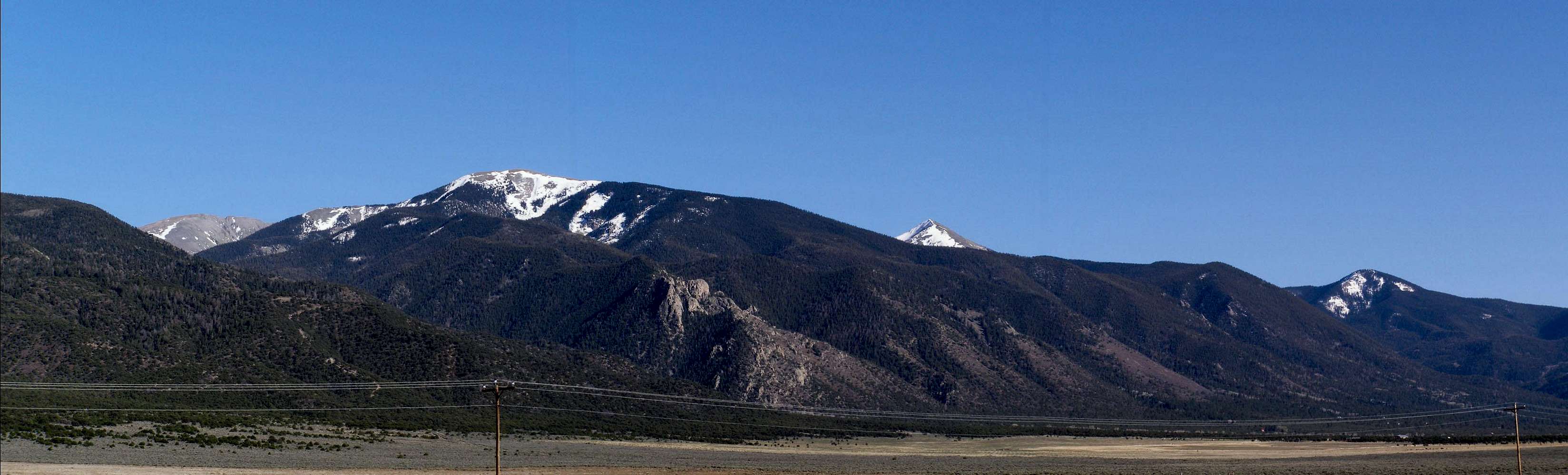
DATE AND TIME: 041906, 1725;
DATE AND TIME: 041906, 1725;
LOCATION: From halfway between Questa and Costilla, along NM-522 (circa mileposts 30-32);
CAMERA: Olympus SP-500 Ultra Zoom, 6 megapizel, 10x optical, 5x digital;
DESCRIPTION: A late-afternoon panorama of the peaks in the Latir Peak group. Latir Peak Massif is so well-placed that it is either impossible to identify from a distance or totally hidden behind neighboring peaks, but I THINK that just may be part of either Latir Massif or Latir Mesa in the left 1/4 distance.
I know that there is a canyon on the north side of Virsylvia Peak (12,594 ' - occupying the left 1/3), and judging from a map, that just may be a portion of Latir Peak Massif or Latir Mesa.
Cabresto Peak (12,448') is the snowy summit just right of center and Pinabete Peak (11,948') is in the right 1/4 distance.


