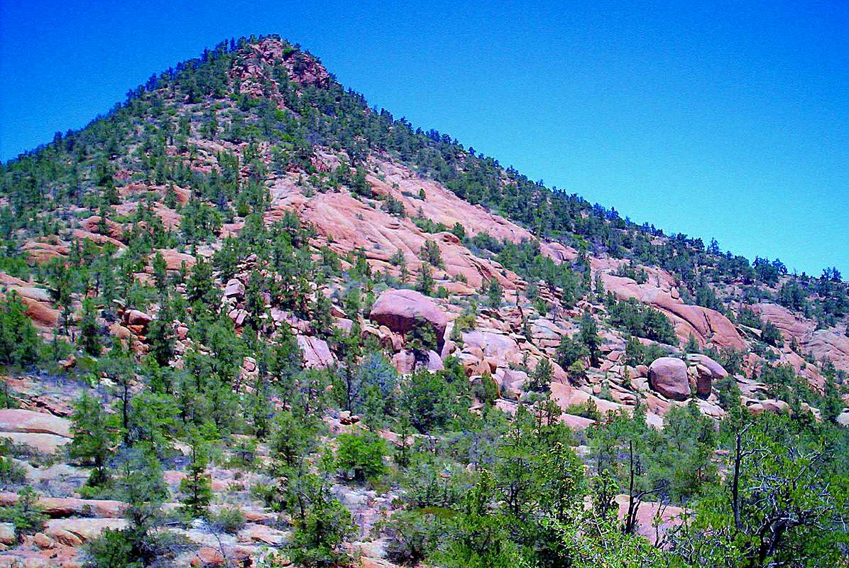
Cypress Hill is a major landform, seen on the eastern
end of the Stewart Pocket climbing area, southeast
of Payson, Arizona.
The 5,263' summit of Cypress Hill is due southwest
of the confluence of Stewart Creek and Houston
Creek. The summer is normally a scorcher, but running
water can be found here during the winter months.
To get to Cypress Hill, you have to go cross-country
through Stewart Pocket, which is a small basin
surrounded by granite ridges and towers. The fastest
way to proceed is up the major drainage between
Cypress Hill, and its neighbor Cypress Mountain to
the west.
Many of the granite outcroppings on Cypress Hill are in the final stage of decomposition, but there are many footholds in route to the summit. Of course, it helps to avoid stepping on shin-dagger agave, cactus and rattlesnakes. As far as the weather, October becomes much cooler and is the best time to go.
June 8, 2008


