Toggle navigation
Mountains
Routes
Images
Trip Reports
Forum
What's New
People
Areas & Ranges
Articles
Trailheads
Canyons
Huts & Campgrounds
Albums
Logistical Centers
Fact Sheets
Lists
Custom Objects
Gear
Plans & Partners
WELCOME TO SUMMITPOST
SIGN IN
REGISTER
Upper Muley Twist Canyon
Additional Parents
Image
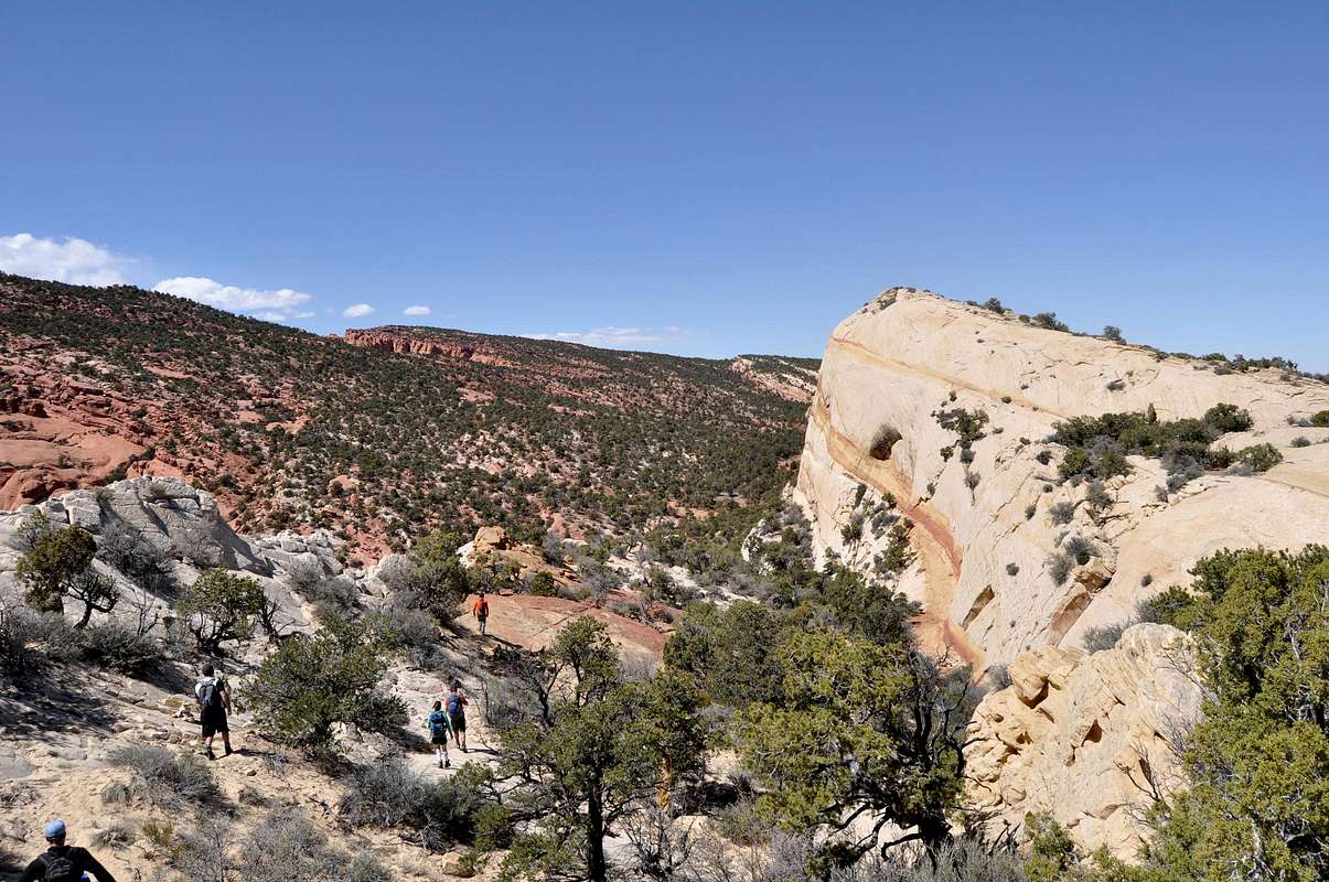
descending from Waterpocket Fold
View High-Resolution Image
descending from Waterpocket Fold
The high route above Upper Muley Twist Canyon follows the top of Waterpocket Fold for several miles. Eventually the terrain steepens and a series of signs and rock cairns lead hikers back down towards the canyon. April 12, 2013
« PREV
NEXT »
distressbark
on
Apr 12, 2015 4:57 pm
Comments & voting
Other parents
Lat/Lon:
37.92222°N / 111.06999°W
Image ID:
935729
1155 Hits
71.06
% Score
1
Votes
Log in to vote
Comments
No comments posted yet.
to post!
Don't have an account?
Upper Muley Twist Canyon
(Canyon)
« PREV
Viewing
#41 of 61
GALLERY
NEXT »
distressbark's Image Gallery
« PREV
Viewing
#509 of 598
GALLERY
NEXT »
Capitol Reef National Park
(Area/Range)
Loading....
Terra Incognita
(Album)
Loading....
×
You need to login in order to vote!
User Name
Password
Remember me
Forgot your password?
Log me out when I close my browser.
Keep me logged in all the time.
sign in as a user
Don't have an account?
Register now for FREE
Rating available
Suggested routes for you
People who climb the same things as you
Comments Available
Create Albums
Register Here


