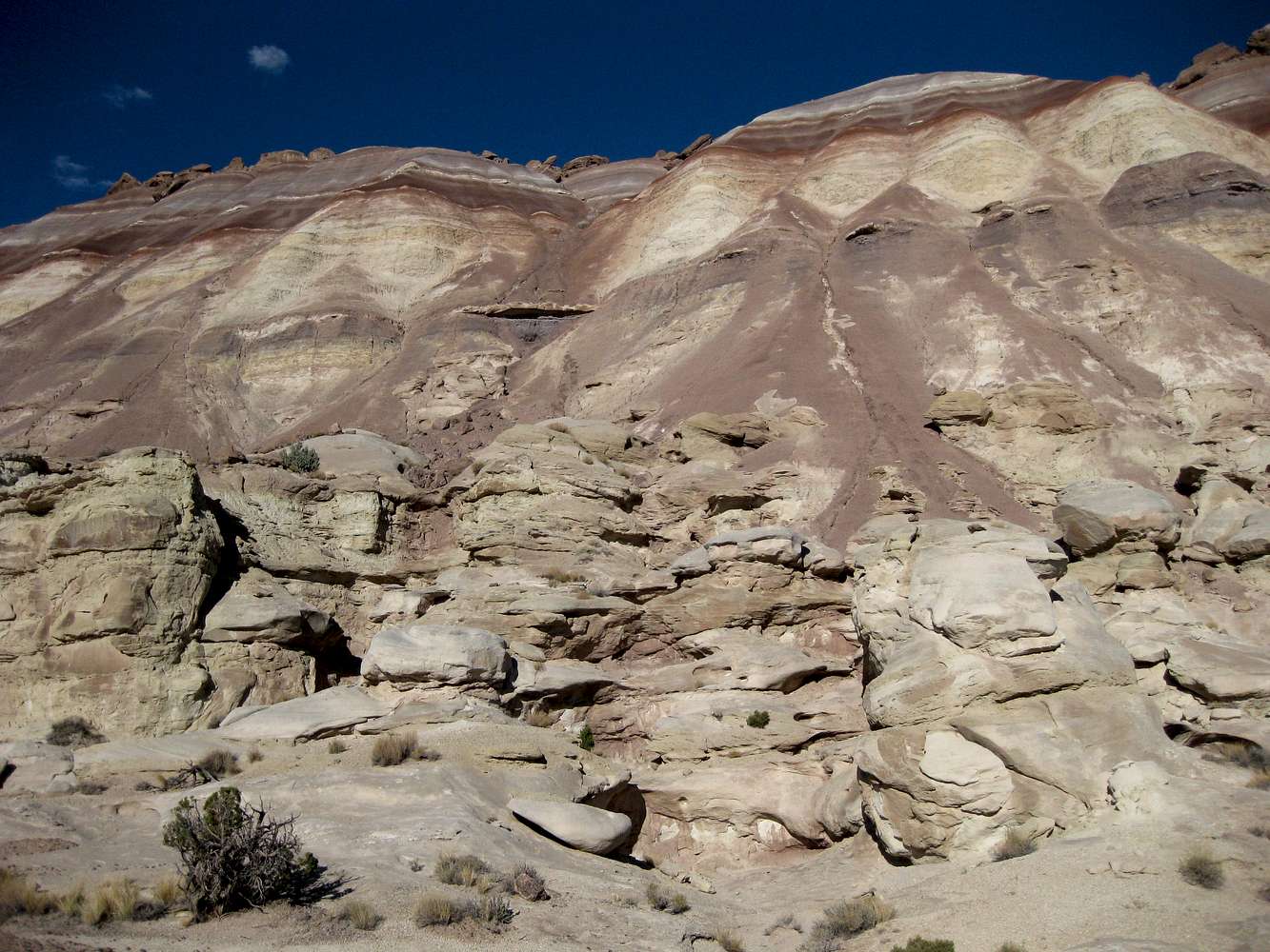
...from the ridge highpoint north of the summit of Queen of the Wash. I went down the drainage just left of center. Short but steep-- a 350' drop in 0.2 mi (that's a 1750'/mile grade). There was some scrambling lower down. Higher up, it was very steep with very loose footing.
Middle Desert, Utah-- October 2009


