Toggle navigation
Mountains
Routes
Images
Trip Reports
Forum
What's New
People
Areas & Ranges
Articles
Trailheads
Canyons
Huts & Campgrounds
Albums
Logistical Centers
Fact Sheets
Lists
Custom Objects
Gear
Plans & Partners
WELCOME TO SUMMITPOST
SIGN IN
REGISTER
Dry Gulch Route
Additional Parents
Image
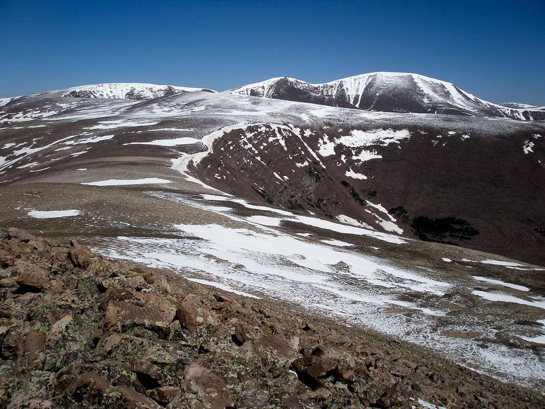
Emmons from Flat Top
View High-Resolution Image
Emmons from Flat Top
From the northern edge of Flat Top Benchmark. The flat ridge ahead leads to Lost Benchmark (small bump in front). Owl Peak (12826), South Emmons (13170), and Emmons are against the skyline. June-18-2010
« PREV
NEXT »
ZeeJay
on
Oct 31, 2012 11:10 am
Comments & voting
Other parents
Lat/Lon:
40.71174°N / 110.30374°W
Image Type(s):
Hiking
Image ID:
823192
1067 Hits
79.78
% Score
11
Votes
Log in to vote
Comments
No comments posted yet.
to post!
Don't have an account?
Dry Gulch Route
(Route)
« PREV
Viewing
#2 of 4
GALLERY
NEXT »
ZeeJay's Image Gallery
« PREV
Viewing
#597 of 1388
GALLERY
NEXT »
×
You need to login in order to vote!
User Name
Password
Remember me
Forgot your password?
Log me out when I close my browser.
Keep me logged in all the time.
sign in as a user
Don't have an account?
Register now for FREE
Rating available
Suggested routes for you
People who climb the same things as you
Comments Available
Create Albums
Register Here


