Toggle navigation
Mountains
Routes
Images
Trip Reports
Forum
What's New
People
Areas & Ranges
Articles
Trailheads
Canyons
Huts & Campgrounds
Albums
Logistical Centers
Fact Sheets
Lists
Custom Objects
Gear
Plans & Partners
WELCOME TO SUMMITPOST
SIGN IN
REGISTER
Capital Regional District (Victoria, BC)
Additional Parents
Empress Mountain
Image
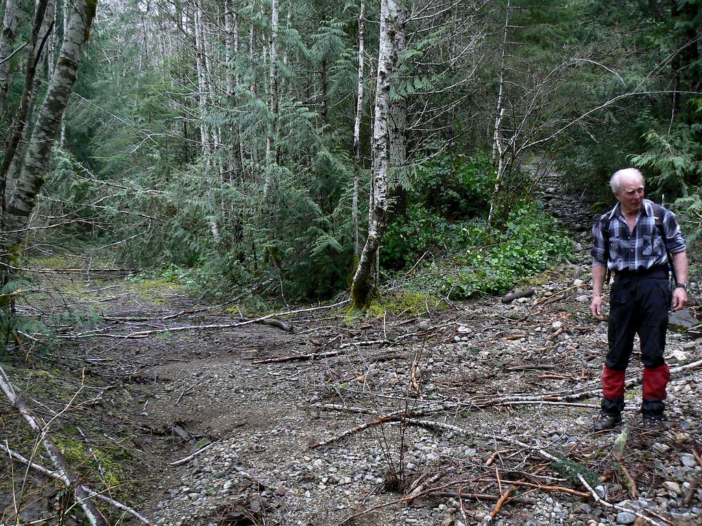
Empress Mountain Route. Critical Trail Fork
View High-Resolution Image
Empress Mountain Route. Critical Trail Fork
The route up Empress can only really be lost in one place. Blow up this shot to see the arrow carved in the tree that shows the correct (right) fork.
« PREV
NEXT »
vancouver islander
on
Mar 19, 2007 7:15 pm
Comments & voting
Other parents
Lat/Lon:
48.45000°N / 123.6°W
Image ID:
279312
5836 Hits
73.06
% Score
3
Votes
Log in to vote
Comments
No comments posted yet.
to post!
Don't have an account?
Capital Regional District (Victoria, BC)
(Area/Range)
« PREV
Viewing
#32 of 175
GALLERY
NEXT »
vancouver islander's Image Gallery
« PREV
Viewing
#854 of 1858
GALLERY
NEXT »
Empress Mountain
(Mountain/Rock)
Loading....
×
You need to login in order to vote!
User Name
Password
Remember me
Forgot your password?
Log me out when I close my browser.
Keep me logged in all the time.
sign in as a user
Don't have an account?
Register now for FREE
Rating available
Suggested routes for you
People who climb the same things as you
Comments Available
Create Albums
Register Here


