Toggle navigation
Mountains
Routes
Images
Trip Reports
Forum
What's New
People
Areas & Ranges
Articles
Trailheads
Canyons
Huts & Campgrounds
Albums
Logistical Centers
Fact Sheets
Lists
Custom Objects
Gear
Plans & Partners
WELCOME TO SUMMITPOST
SIGN IN
REGISTER
Fool Creek Peak
Additional Parents
Image
Fool Creek Peak
View High-Resolution Image
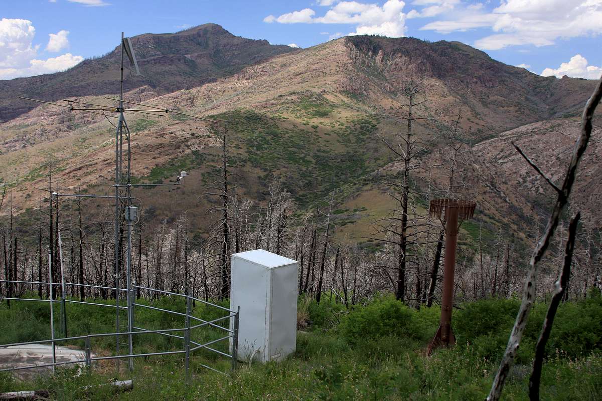
Fool Creek Peak
(left) - seen from the south, at SNOTEL station just below peak 8526 on county line. Note the extensive burn. Canyon Mountains,
UTAH
. June 2016.
« PREV
NEXT »
utahjimk
on
Jul 3, 2016 3:24 pm
Comments & voting
Other parents
Image Type(s):
Hiking
Image ID:
976060
1028 Hits
0
% Score
0
Votes
Log in to vote
Comments
No comments posted yet.
to post!
Don't have an account?
Fool Creek Peak
(Mountain/Rock)
You are at
the First
Image
Viewing
#1 of 1
GALLERY
You are at
the Last
Image
utahjimk's Image Gallery
« PREV
Viewing
#542 of 577
GALLERY
NEXT »
×
You need to login in order to vote!
User Name
Password
Remember me
Forgot your password?
Log me out when I close my browser.
Keep me logged in all the time.
sign in as a user
Don't have an account?
Register now for FREE
Rating available
Suggested routes for you
People who climb the same things as you
Comments Available
Create Albums
Register Here


