Toggle navigation
Mountains
Routes
Images
Trip Reports
Forum
What's New
People
Areas & Ranges
Articles
Trailheads
Canyons
Huts & Campgrounds
Albums
Logistical Centers
Fact Sheets
Lists
Custom Objects
Gear
Plans & Partners
WELCOME TO SUMMITPOST
SIGN IN
REGISTER
Shasta Bally
Additional Parents
Image
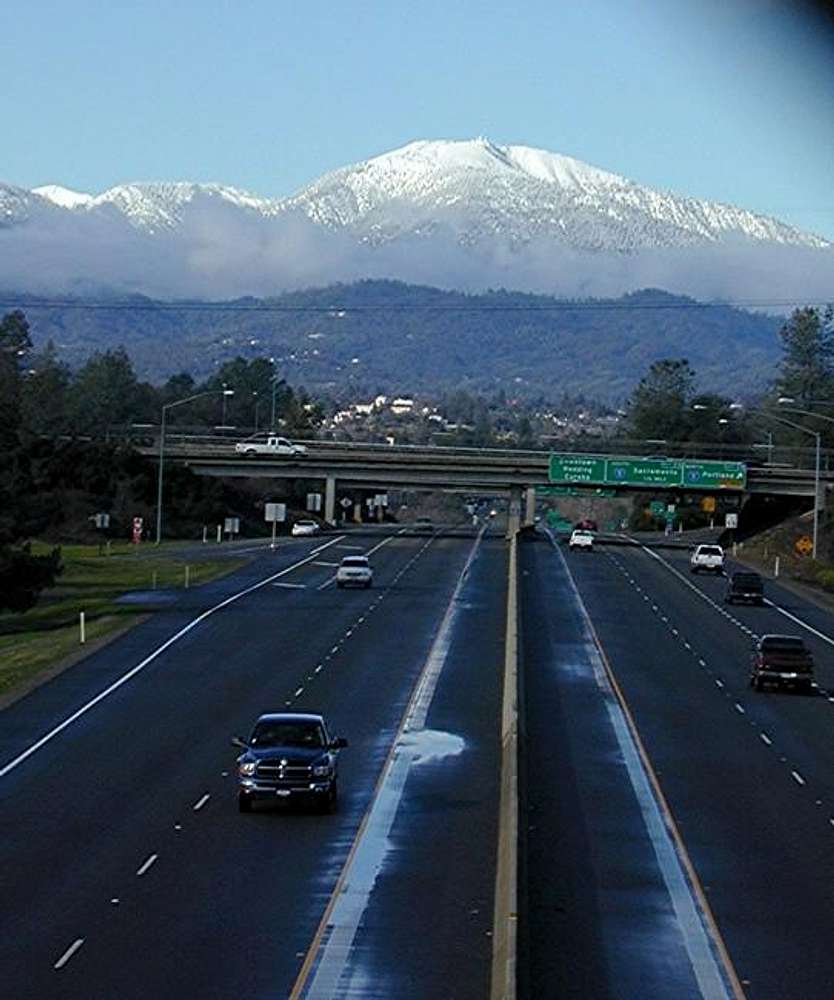
From highway 299 looking West...
View High-Resolution Image
From highway 299 looking West...
From highway 299 looking West at Shasta Bally 1-9-05
« PREV
NEXT »
johnson50
on
Jan 21, 2005 10:18 pm
Comments & voting
Other parents
Lat/Lon:
40.60100°N / 122.654°W
Image ID:
86320
4459 Hits
74.92
% Score
5
Votes
Log in to vote
Comments
No comments posted yet.
to post!
Don't have an account?
Shasta Bally
(Mountain/Rock)
« PREV
Viewing
#3 of 11
GALLERY
NEXT »
johnson50's Image Gallery
« PREV
Viewing
#4 of 12
GALLERY
NEXT »
Whiskeytown National Recreational Area
(Area/Range)
Loading....
×
You need to login in order to vote!
User Name
Password
Remember me
Forgot your password?
Log me out when I close my browser.
Keep me logged in all the time.
sign in as a user
Don't have an account?
Register now for FREE
Rating available
Suggested routes for you
People who climb the same things as you
Comments Available
Create Albums
Register Here


