Toggle navigation
Mountains
Routes
Images
Trip Reports
Forum
What's New
People
Areas & Ranges
Articles
Trailheads
Canyons
Huts & Campgrounds
Albums
Logistical Centers
Fact Sheets
Lists
Custom Objects
Gear
Plans & Partners
WELCOME TO SUMMITPOST
SIGN IN
REGISTER
Ptarmigan Traverse
Additional Parents
Image
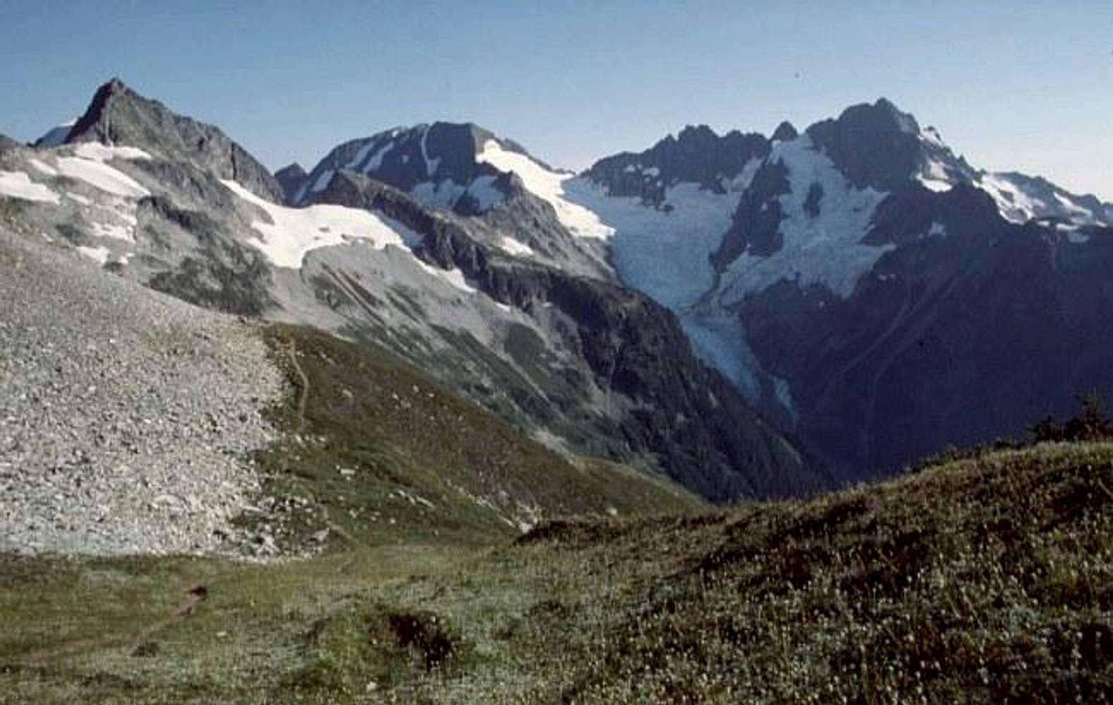
From near Cache Col a path...
View High-Resolution Image
From near Cache Col a path...
From near Cache Col a path leads across heather slopes toward Kool-Aid Lake, the end of Stage 1 of the Ptarmigan traverse. Mountains shown are, from left, Hurry-up (S Mountain), Spider, and Formidable.
Photo from August, 1977
« PREV
NEXT »
Eric Sandbo
on
Sep 15, 2005 1:34 am
Comments & voting
Other parents
Lat/Lon:
48.46770°N / 121.0592°W
Image ID:
126258
3807 Hits
73.06
% Score
3
Votes
Log in to vote
Comments
No comments posted yet.
to post!
Don't have an account?
Ptarmigan Traverse
(Mountain/Rock)
« PREV
Viewing
#139 of 241
GALLERY
NEXT »
Eric Sandbo's Image Gallery
« PREV
Viewing
#292 of 379
GALLERY
NEXT »
×
You need to login in order to vote!
User Name
Password
Remember me
Forgot your password?
Log me out when I close my browser.
Keep me logged in all the time.
sign in as a user
Don't have an account?
Register now for FREE
Rating available
Suggested routes for you
People who climb the same things as you
Comments Available
Create Albums
Register Here


