Toggle navigation
Mountains
Routes
Images
Trip Reports
Forum
What's New
People
Areas & Ranges
Articles
Trailheads
Canyons
Huts & Campgrounds
Albums
Logistical Centers
Fact Sheets
Lists
Custom Objects
Gear
Plans & Partners
WELCOME TO SUMMITPOST
SIGN IN
REGISTER
Mount Moosilauke
Additional Parents
Ravines/Gulfs of the White Mountains (NH)
Image
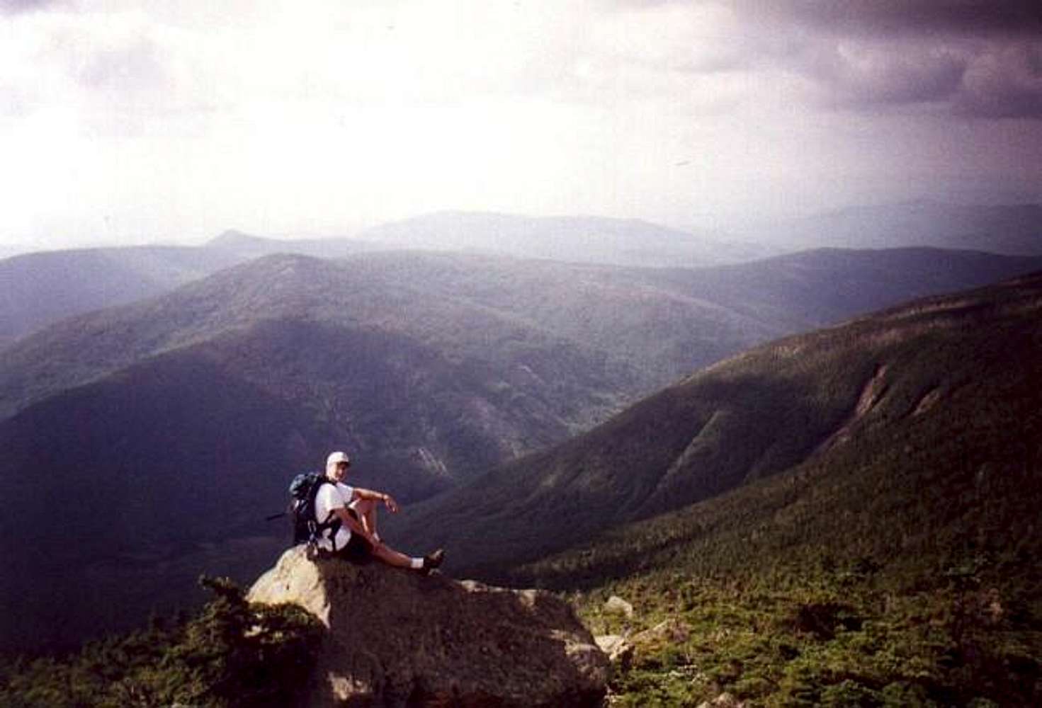
From the summit of...
View High-Resolution Image
From the summit of...
From the summit of Moosilaukee it is 2500 feet down to Tunnel Brook. Mt Clough(3561 ft.) rises beyond the valley.
9-15-96
« PREV
NEXT »
dwhike
on
Feb 12, 2002 6:03 am
Comments & voting
Other parents
Lat/Lon:
44.02440°N / 71.8314°W
Image ID:
4874
5569 Hits
69.77
% Score
2
Votes
Log in to vote
Comments
No comments posted yet.
to post!
Don't have an account?
Mount Moosilauke
(Mountain/Rock)
« PREV
Viewing
#86 of 88
GALLERY
NEXT »
dwhike's Image Gallery
« PREV
Viewing
#1471 of 1650
GALLERY
NEXT »
Ravines/Gulfs of the White Mountains (NH)
(Album)
Loading....
×
You need to login in order to vote!
User Name
Password
Remember me
Forgot your password?
Log me out when I close my browser.
Keep me logged in all the time.
sign in as a user
Don't have an account?
Register now for FREE
Rating available
Suggested routes for you
People who climb the same things as you
Comments Available
Create Albums
Register Here


