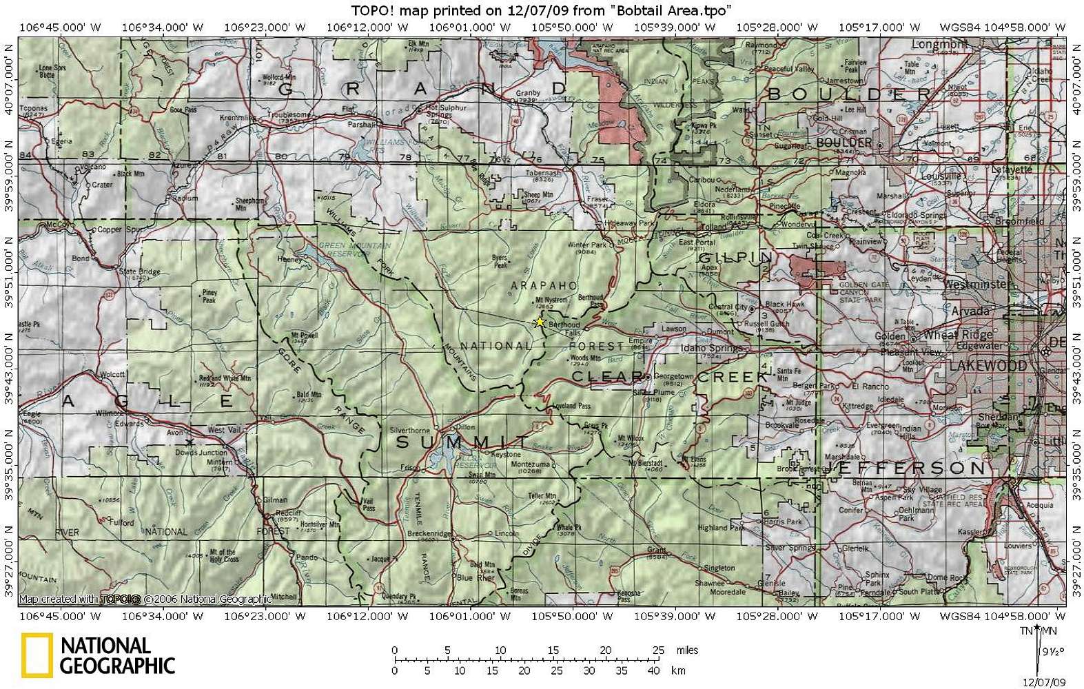
Bobtail Benchmark rises along the Continental Divide on the border between Clear Creek County & Grand County. There are numerous points of access to this summit, but the one with the shortest approach and most convenient to the Front Range would be via US Hwy 40 out of Empire to Big Bend Picnic Area. 05 December 2009


