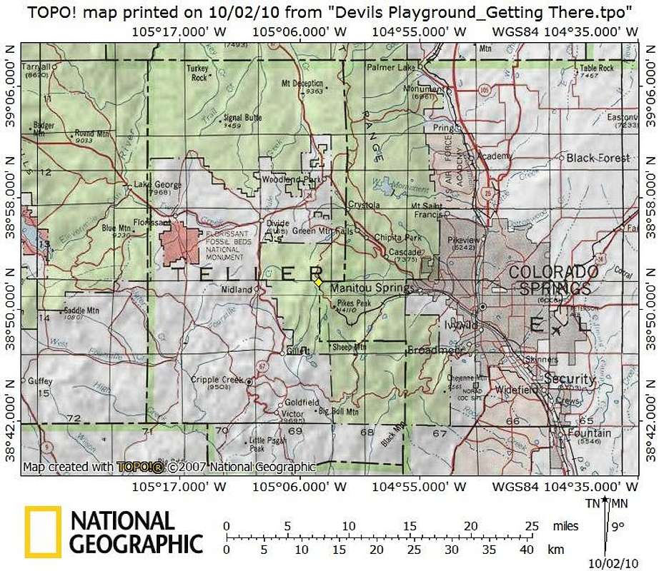
“Devil’s Playground” sits in far eastern Teller County, just to the west of the line with El Paso County. Primary access roads are the Pikes Peak Toll Road (for those wanting to drive most the way to the summit), Hwy 67 to the west and Hwy 24 to both the north and east. Map created October 2010


