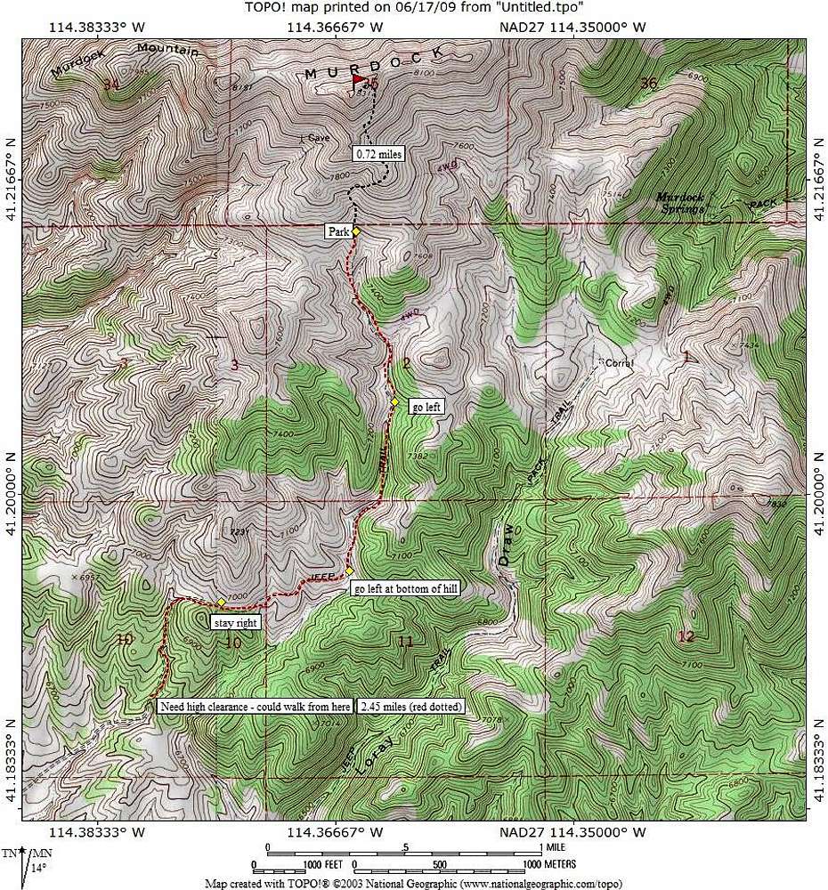
This is the first of 3 maps that should be of help for anyone who wants the most direct route to the base of Murdock. If you don't have a 4WD vehicle with high clearance, you could walk it from the base of the canyon (or where you can no longer comfortably drive to). The walk will add about 2 1/2 miles each way and over a thousand feet of elevation gain. Even with that additional effort, the elevation gain will still be under 2000 feet.
See
this map for GPS indicators (not exactly the same as in the
"getting there" section.


