Toggle navigation
Mountains
Routes
Images
Trip Reports
Forum
What's New
People
Areas & Ranges
Articles
Trailheads
Canyons
Huts & Campgrounds
Albums
Logistical Centers
Fact Sheets
Lists
Custom Objects
Gear
Plans & Partners
WELCOME TO SUMMITPOST
SIGN IN
REGISTER
La Mesa de la Piedad y de la Misericordia
Additional Parents
Image
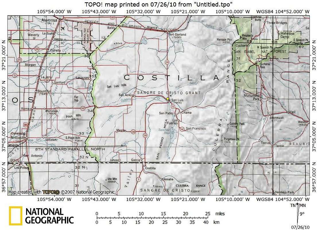
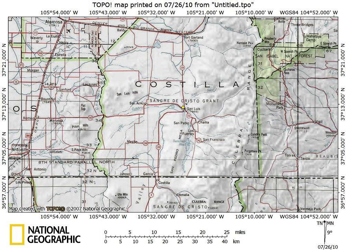
Getting There Map
View High-Resolution Image
Getting There Map
The Mesa rises above the town of San Luis to the northwest, at the intersection of CO Hwy 159 and CO Hwy 142. Park in town (curbside or in the designated Shrine parking) and head briefly west on CO Hwy 142 along a sidewalk.
24 July 2010
« PREV
NEXT »
Sarah Simon
on
Jul 29, 2010 10:52 am
Comments & voting
Other parents
Lat/Lon:
37.12700°N / 105.252°W
Image Type(s):
Topo/Diagram
Image ID:
643001
1431 Hits
74.92
% Score
5
Votes
Log in to vote
Comments
No comments posted yet.
to post!
Don't have an account?
La Mesa de la Piedad y de la Misericordia
(Mountain/Rock)
« PREV
Viewing
#7 of 19
GALLERY
NEXT »
Sarah Simon's Image Gallery
« PREV
Viewing
#1219 of 5480
GALLERY
NEXT »
×
You need to login in order to vote!
User Name
Password
Remember me
Forgot your password?
Log me out when I close my browser.
Keep me logged in all the time.
sign in as a user
Don't have an account?
Register now for FREE
Rating available
Suggested routes for you
People who climb the same things as you
Comments Available
Create Albums
Register Here


