Overview
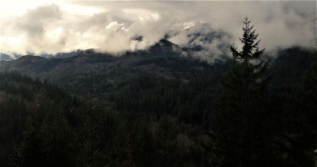
![Views from the overlook]() Views from the overlook at the high trailhead
Views from the overlook at the high trailheadOkay you are not feeling very well or you are recovering from a serious injury. Or you have been up some higher mountains and just want to bag an easy peak on the way back. Well with only either 400 feet of elevation gain from the boat ramp or a little over 100 feet of elevation gain from the high trailhead you can bag Glover Mountain located right on the mouth of the Baker Lake Dam. The location of the mountain is very scenic but because this mountain is small the best views from the trailhead while the summit has no views and is just off the scenic loop trail. You have to do a couple yards of heavy and thick bushwhacking to get the true summit. As for the best views, Baker Lake Trailhead/ Boat Ramp is very pretty along with the view just off the higher trailhead looking south. If in the area one should also stop by the dam and take pictures of the waterfalls to the south of the dam.
![Looking south]() Looking south from the high overlook
Looking south from the high overlookGetting There
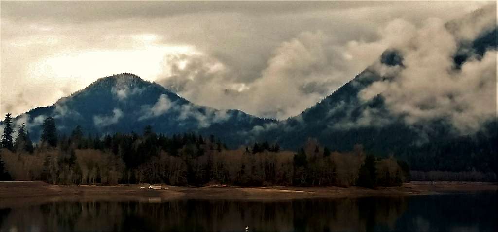
![From the parking area]() Where the view from the lower parking area is clearly the best view
Where the view from the lower parking area is clearly the best view
VIA BAKER LAKE ROAD: From Highway 20 near the town of Concrete make a left on Baker Lake Road. Take Baker Lake Road 8 miles to National Forest Road 1106. Make a right on this road and proceed on the road for 1 mile. Make a left at the Kulshan Lake Campground and take the road all the way to the lake. If your car can handle a rough, steep gravel veer to the right and take it all the way to the trailhead. This could potentially be seasonal to be aware.
Route
![Map of the Route]() Map of the Route
Map of the Route This is basically a one hour visit. You can either park down at the lake and walk up the steep road for about 300 feet of elevation or you drive up the steep rough road up to the trailhead. From there you will hike the trail about 100 vertical feet to the summit on a nice loop trail. To hit the exact summit you will have to bushwhack through very thick vegetation to the various highpoints to ensure the true summit has been reached.
![The Maane Event]() The Maane Event on the summit area
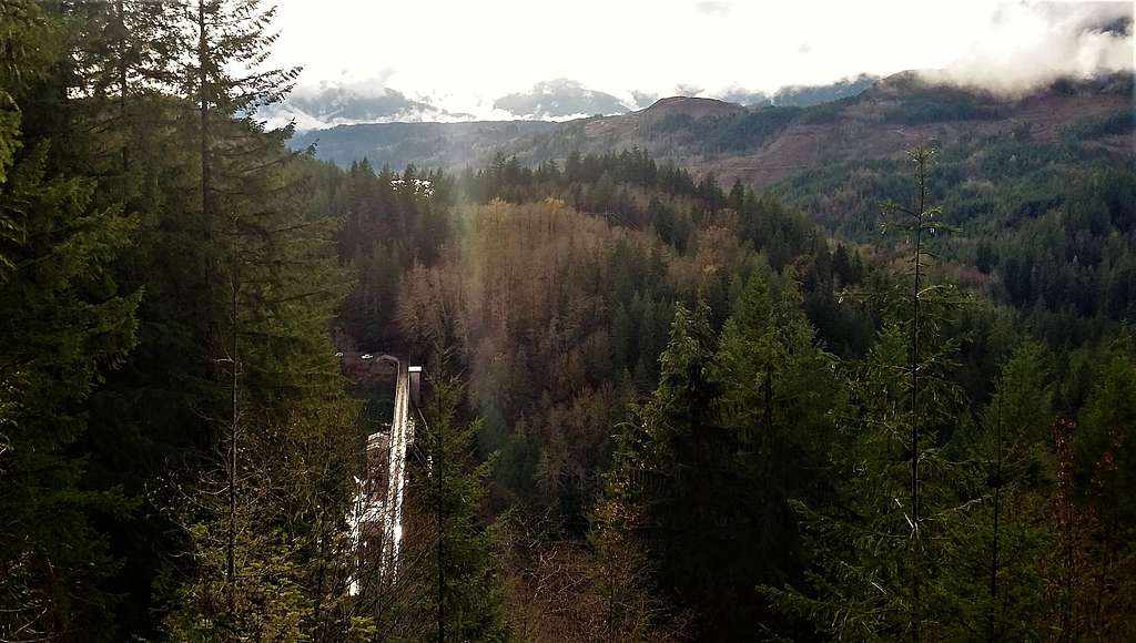
The Maane Event on the summit area | ![Bridge on trail to Glover Mountain]() Bridge on the trail
Bridge on the trail |
Red Tape
From what I saw there were no parking permit needed at the lake or the trailhead up high. The campground nearby does require payment though.
When to Climb
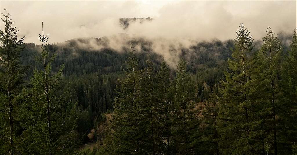
![Nice shot]() Nice shot but might be better with snow!!
Nice shot but might be better with snow!! This mountain can be hiked all year. This is very simple summit to get so most peakbaggers get this mountain on their trip back from one of the nearby mountains in the region.
Camping
There is no camping on the summit of Glover Mountain. However there is large campground located right at the base of Glover Mountain that are pay per use. The Kulshan Campground located on the edge of the dam is ideal for camping and runs from $15 to $25.
External Links
Glover Mountain Peakbagger Page