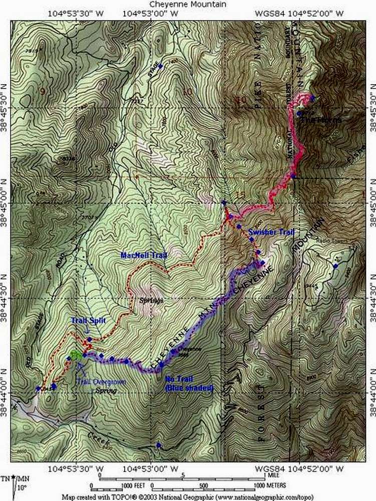
GPS plot from my September 19, 2005 journey. My ascent followed the direct route, which is the southern portion of the plot. The highlighted green section is overgrown trail (we couldn't keep the trail here). The highlighted blue portion is off-trail. On the way back, the "Trail Split" offers a direct route back to the car via the right fork. One could certainly do the route in reverse.
Pink shading represents a possible side-trip to The Horns.
Full-res version of this map available
here.


