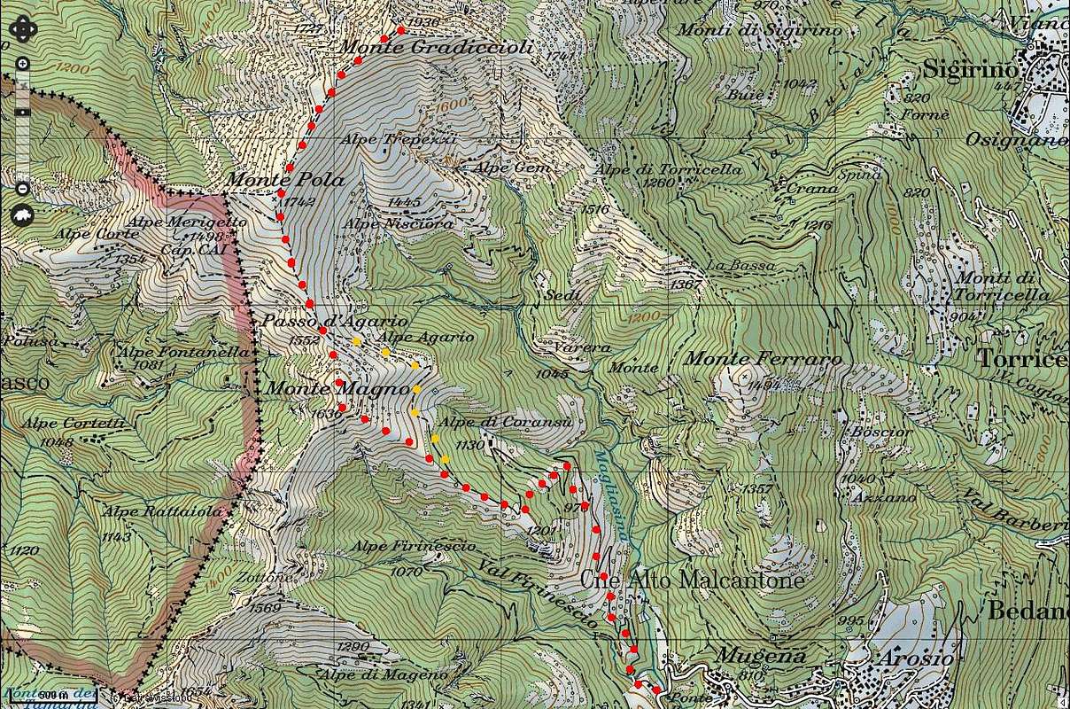
map from http://map.geo.admin.ch
To be done in december/january after a good snowfall.
Just OK for the ones that MUST make a skimountaneering even if the weather is bad ...
The orange route can be really dangerous for snowslides - be careful,
anyway the 80 metres of difference in elevation to reach the summit of Monte Magno will allow a better ski descent.


