Comments
No comments posted yet.

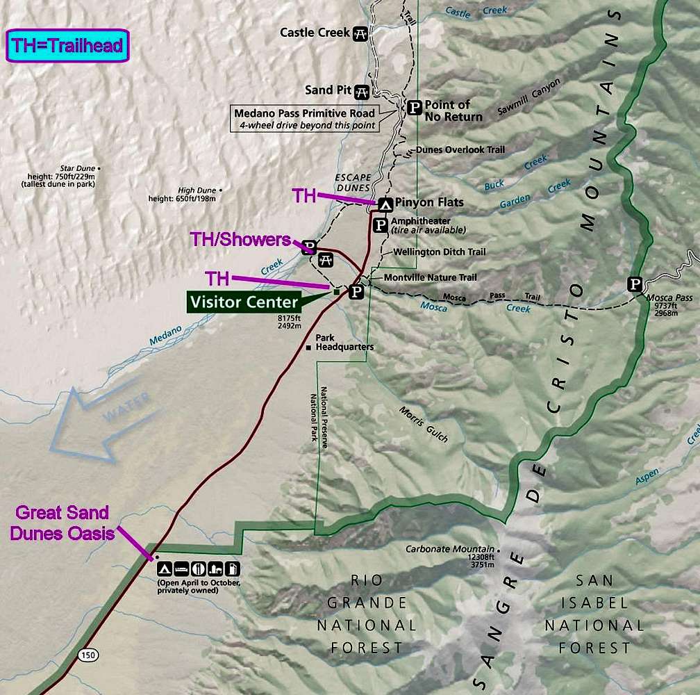
This is an extract of the National Park Service map for Great Sand Dunes National Park and Preserve, CO. It is annotated with recommended trailheads (starting points, really) for hiking to the top of High Dune. Showers (outdoor) and the location of a nearby restaurant and other non-park facilities are also shown. The original, full map is available at the NPS website.


