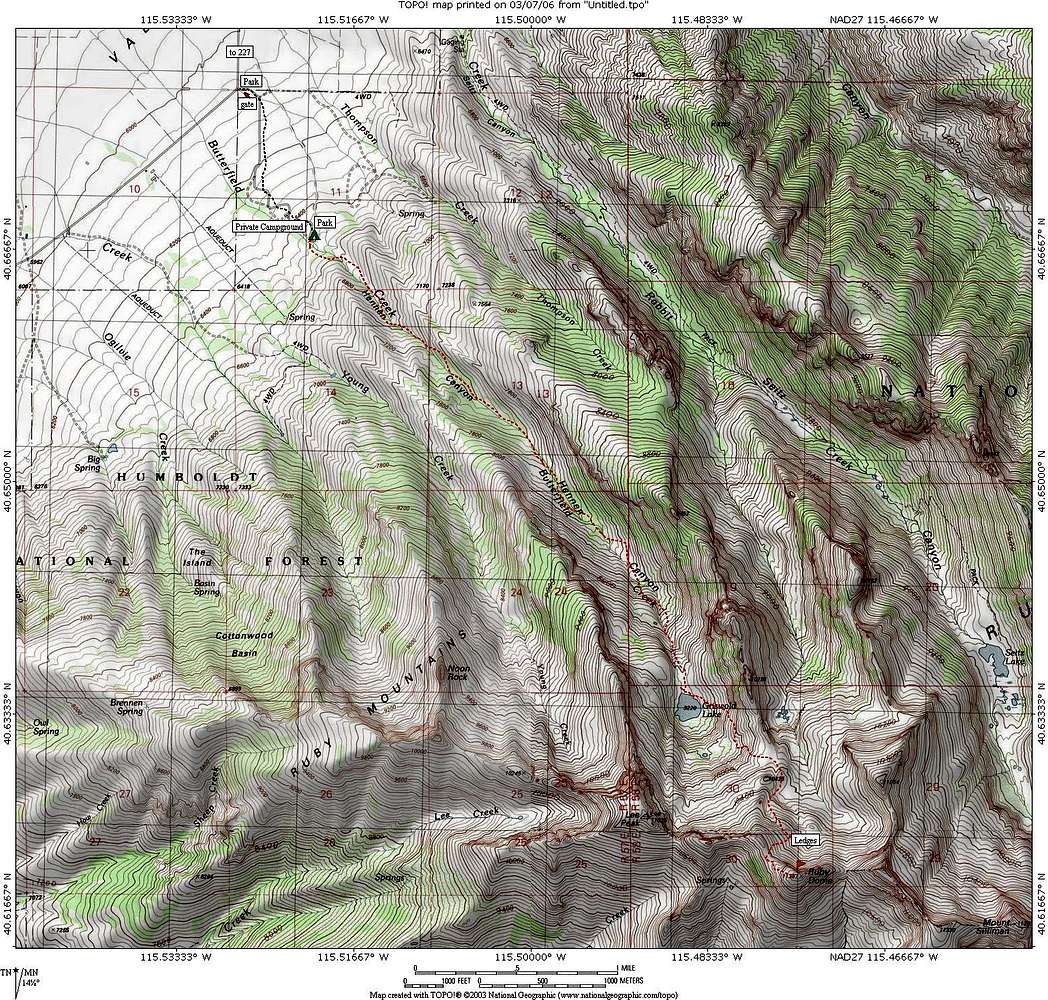
The route marked on this map is as close as I could get it but is not absolutely exact.A trail marks the way and common sense will get you there as you follow cairns and make your own decisions when the trail fades in the rocks. We found our way easily and unless the ground is snow covered, it is pretty straitforward. Elevation gain from the gate is close to 5400 feet and from the top campspot in the private campground 4900 feet. Distance from the gate is one mile to the upper campspot and an additional 5 miles from there.
Click on the map and then to get the largest size, click on the map again.


