The last three Parts (
H, I and L ) are used to complete this work on the Alps in Valley of Aosta and Piedmont some mountains bordering France and Switzerland, which directly "bind" our mountain ranges. The goal is to propose a synthetic trace of the other previous Parts (A to G) that "break" the Valley into seven distinct and logical sectors.
In this Eighth Part, or Part H, you make a recapitulation of Parts F
"F)- GREAT PARADISE or MOUNT ISERAN/ THE GRIVOLA - RIGHT SIDE Sixth Part" and G
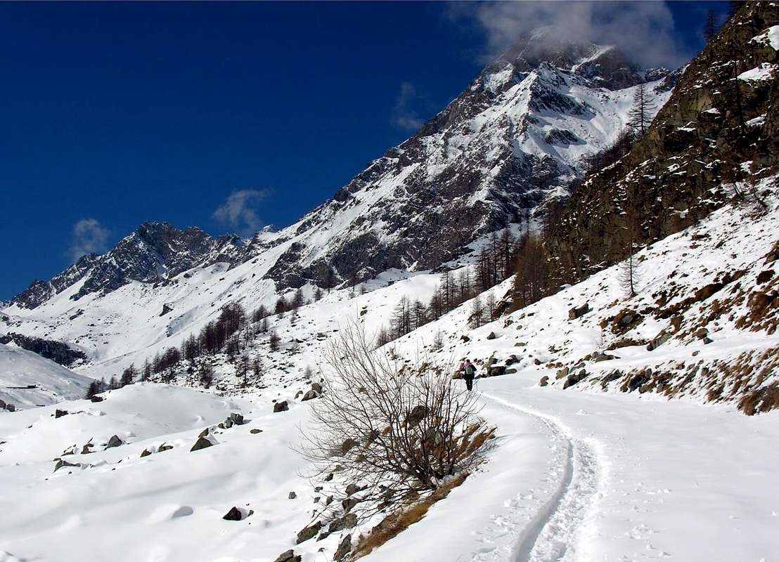
"G)- GREAT SASSIERE - RUTOR TESTA or HEAD Seventh Part", trying to give an overview of the most easily readable, as well as summary thereof. They wanted to highlight the mountain ranges in their linear topographic and natural development while maintaining the order of description time, in this case from East to South and from South to Northwest up to the Seigne Hill. Here, still within the Graians, begins the Mount Blanc Massif belonging to another was Geological than the previous and oldest orogenesis. They entered and the ridges of the Northern border Appendices which form the divider between the main valleys, or between vallon and vallon. Other areas "inner" directed generally toward the Central Valley of the River Dora Baltea were analyzed and classified by summarizing and grouping them together in the last section, also trying to keep a description of these semi-circular clockwise from South to Northwest first and Northeast later, or from the tops over to the Tower of Lavina/Arietta/Peradzà Groups Tersiva, Emilius, Grand Avert and concluded before to the Northeast with those of Glacier, Avic/Mont Lyan and after more in East from Gran Rossa to Cima Piana/Mont Charvatton .
A second similar work will be dedicated to the Northern part of the watershed of the border and will
include Parts A, ie, the Mount Blanc, and the following Parts B, C , D and E aimed at Pennine Alps to the Mount Rosa Mountain Chain. A final Part L or the tenth, finish the job and will consist of an General Index and a Glossary useful in tracing the features of interest. This part also primarily combined with analytical job on Valleys and Walloons of the Aosta Valley has been restored to its original intent, namely synthesis, the excessive expansion of work in other directions made her exaggeratedly decay from its primary purpose.
"From this Ice Cold Sea comes out Life",
by emilius
![]() ^^^^^^^
^^^^^^^
Quest'ultime tre Parti (
H, I ed L) servon a completare questo lavoro concernente tutto l'arco alpino della Valle di Aosta nonché alcune montagne confinanti con Piemonte, Francia e Svizzera, che direttamente si "legano" alle nostre catene montuose. L'obiettivo é quello di proporre una traccia sintetica delle altre precedenti parti (da A a G) che "spezzano" la Valle in sette ben distinti e logici settori.
In questa ottava Parte, o Parte H, s'effettua una riepilogazione delle Parti F
"F)- GREAT PARADISE or MOUNT ISERAN/ THE GRIVOLA - RIGHT SIDE Sixth Part" e G
"G)- GREAT SASSIE'RE - RUTOR TESTA or HEAD Seventh Part", cercando di darne una visione d'insieme più facilmente leggibile, nonché riassuntiva delle medesime. Si son volute evidenziare le catene montuose nel loro lineare, topografico e naturale sviluppo mantenendo sempre l'ordine di descrizione orario, in questo caso da Oriente a Sud e da Sud verso Nordovest insino al Col de la Seigne. Qui, pur sempre all'interno delle Alpi Graie, s'inizia il Massiccio del Monte Bianco appartenente ad altra Era Geologica rispetto alle precedenti e più antiche orogenesi. Si son inserite e collegate alle creste di confine le Appendici Settentrionali costituenti il divisorio tra le principali valli, oppure tra vallone e vallone. Altre aree "più interne" rivolte, in genere, verso la Valle Centrale del Fiume Dora Baltea son state analizzate e classificate riassumendole e raggruppandole insieme nell'ultima sezione, cercando anche per queste di mantenere una descrizione semi circolare in senso orario da Sud verso Nordovest dapprima e Nordest dopo, ovvero dalle cime oltre la Torre di Lavina/Arietta/Peradzà verso i Gruppi di Tersiva, Emilius, Grand Avert per poi concludere maggiormente dapprima a Nordest con quelli di Glacier/Rafray, Avic/Mont Lyan ed in seguito più ad Est dalla Gran Rossa verso Cima Piana/Mont Charvatton.
Un secondo similare lavoro sarà dedicato alla parte Settentrionale dello spartiacque di frontiera e
comprenderà le Parti A, cioé il Monte Bianco, e le successive Parti B, C, D ed E rivolte alle Alpi Pennine fino alla Catena del Monte Rosa. Un'ultima Parte L, ovvero la decima, concluderà il lavoro e sarà costituita da un Indice Genenale e da un Glossario utili a rintracciare le peculiarità di interesse. Questa parte, inoltre, primariamente abbinata ad un lavoro di analisi sulle Valli ed i Valloni della Valle di Aosta é stata ripristinata nel suo intento originario, ovvero di sintesi; l'eccessivo ampliamento del lavoro in altre direzioni la facevano esageratamente decadere dal suo scopo primario.
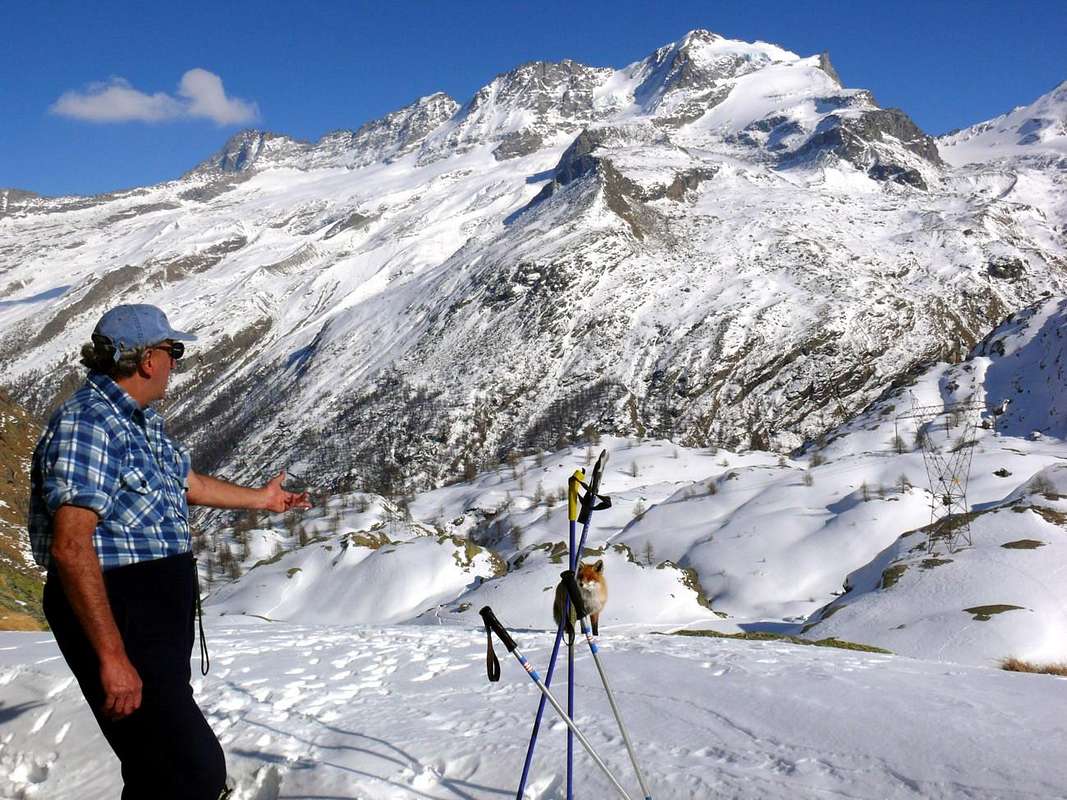
"Great Sassière from Becca of Traversière & emilius Author of almost all pictures in this work",
itself by emilius
![]() ^^^^^^^
^^^^^^^
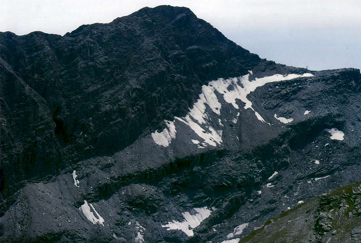
Mountain Ranges stretching East/Southeast/ South/ Southwest & finally from Gran Paradiso fold in North
"Monte dei Corni Subgroup",
by emilius
![]() ^^^^^^^
^^^^^^^
This part of the paper proposes a more schematic than in specific
Parts F and G, the trend of the mountain ranges in their development between the
Appendices of the Eastern Graian up to the Summit of Gran Paradiso, on the crest of the watershed between the Valley Aosta and Piedmont sides of the Orco Valley also known Soana. It is intended to highlight the difference between
Groups and Subgroups, according to a choice topographic enough staff, you can not always say what is in fact the highest area on which, at times, is defined in an arbitrary manner for convenience of systematic classification. Typically it is held for a fact the
Criterion of the Altitude of a mountain than the surrounding, in other cases was assessed the importance of the reputation of itself or simply the fact that it was the most important or, if you like, the less neglected of that zone. For what all this is added, in relation to the above, the altitude in meters, but not for all the mountains in order to give a glance most immediate and identification in that particular area. With two examples we can see how the two subgroups Lavina Tower and the Great Arolla were divided and classified as a subgroup of the first and the second group which in its own right, and in fact could be considered of equal dignity or, more simply, grouped in a single.
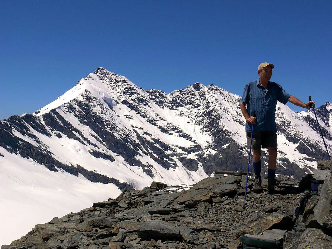
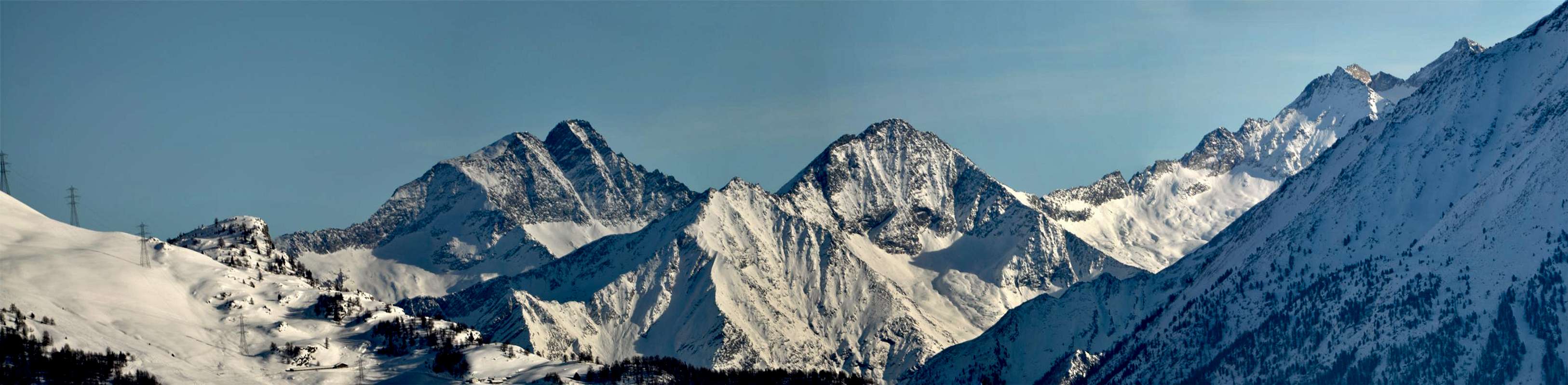
"Rosa dei Banchi Group",
by emilius
![]() ^^^^^^^
^^^^^^^
In the Guide
"Gran Paradiso" C.A.I./T.C.I. by Emanuele Andreis, Renato Chabod and Mario Carlo Santi (1939 , 1963, 1980) was used, cutting to the chase, how to identify them all subgroup, including that of the Maximum Peak. It can be one of many choices. Here you see some shade is preferred in most though, at times, has incurred some inevitable "injustice", as in the examples of the two
North Great Appendices which radiate from the Northern Group of the Apostles and the Gran Paradiso. For each group of bits Patrì Points after the Coupé de Money, has remained complementary in the development of the mountain range that ends above the Little Town of Cogne, and secondly, because more extensive and perhaps because it undergoes the charm of a beautiful girl like The Grivola, has been given greater importance to this last giving her the title dignitary Group by itself.
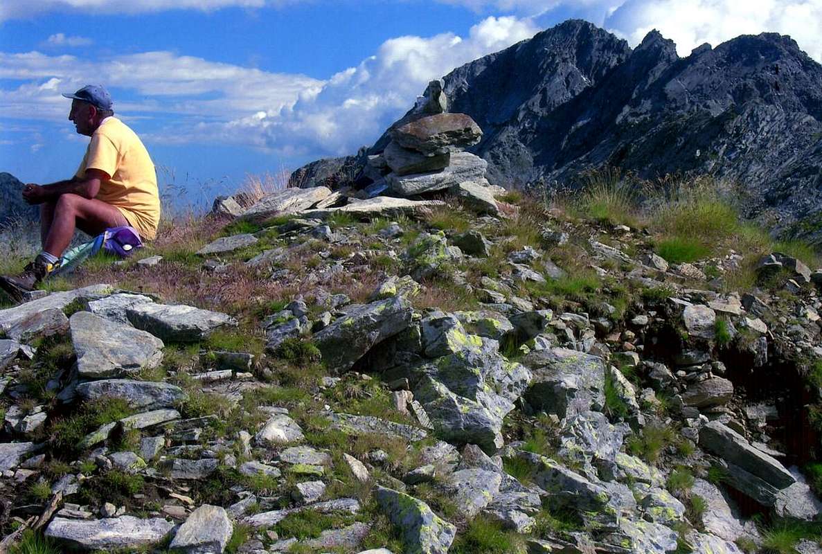
"Punta Nera del Miserino Subgroup",
by emilius
![]() ^^^^^^^
^^^^^^^
MOUNTAIN CHAINS & SUMMITS
In succession watershed from the time Bec Renon beginning of the Valley of Aosta to Gran Paradiso
WATERSHED between Aosta Valley/Piedmont from Northeast to Southwest up to the GRAN PARADISO:
Bec Renon-Cima della Battaglia- CIMA di BONZE (2516m) -Bec delle Strije Subgroup.
Mont Bo-Bec delle Strije-Cima di Andelmel- Mont Debat Subgroup.
Testa Tomé-Bec Saint Jean-Bec Cormoney-Cima Cocor-Mont Pussuy-Mombrignon-Mont Debat Subgroup.
Mont Debat-Punta Dondogna-Cima Prel-Mont Arbueil-MONTE dei CORNI (2622m) -Punta della Fricolla-Mont Blanchet-Monte della Corda-Punta Lavere-Grand Bec-Bec Chaty Subgroup.
Punta della Fricolla-Punte di Chenessy-Mont Giavin-Mont Digny-Cresta di Luta Subgroup.
Monte dei Corni-MONTE MARZO (2756m) -Monte Facciabella-Punta Santanel-Punta di Vòrea-Cresta di Vòrea Subgroup.
Monte Nero-Bec Molère-Bec Laris-Punta Champ Chevry Subgroup.
Pic Pendente-Becco Pragelas-Cime Beccher-Punta delle Fontane-ROSA dei BANCHI (3164m) -Punta dell'Asgelas-Punta Corona Group.
Torre Ponton-Bec Costazza-Cima di Peradzà-Rocce Nere di Peradzà-Testa della Nouva-Testa dell'Arietta-Punta del Miserino-Punta della Scaletta-PUNTA NERA del MISERINO (3063m) Subgroup.
Punte del Rancio-TORRE di LAVINA ( South 3308m; North 3277m) .
To North Punte di Acque Rosse, various little summits.
To Southwest Lavinetta-La Tourelle small Subgroup.
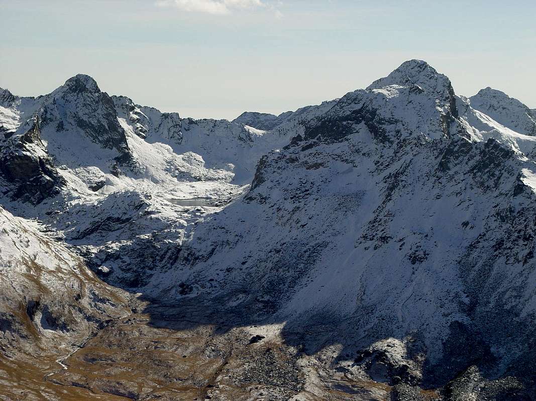
"Lavina & Arolla Groups",
by emilius
![]() ^^^^^^^
GRANDE AROLLA
^^^^^^^
GRANDE AROLLA (3248m) to North Petite Arolla-Punta delle Tsesère-Punta del Rossin-Cime di Bardoney-Cima delle Loie Group.
To Southwest Torre di Forzo-Monveso di Forzo-Roccia Azzurra-Punta delle Sengie-Ago delle Sengie-Cime di Valeille-Punta Scatiglion-PUNTA di ONDEZANA (3487m) Group.
GRAN SAN PIETRO (3691m) to North Torri di Sant Andrea-Torre di Sant'Orso-Dito degli Apostoli-Punte Patrì-Punta Cissetta-Punte della Valletta-Punta di Vermiana-Tornetta-Punta Fenilia-Punta Vigeusa-Testa di Montseùc-Montseùc Group.
To West between Money Walloon and Piedmont Campanile di Money-Testa di Money-Becco della Pazienza-Gemelli di Roccia Viva-ROCCIA VIVA-BECCA di GAY (3650m; 3609m) Group.
Testa di Grand Croux-Testa di Valnontey-Punta di Ceresole-Testa della Tribolazione-Cresta Gastaldi-Il Roc-GRAN PARADISO (4061m) Group.
NORTHERN APPENDAGES of GRAN PARADISO:
To North Piccolo Paradiso (South Points: Southern, Northern or Frassy; Mont Petit Paradis: Central also Farrar, North or Vaccarone Points) -Becca di Montandayné-Punta Budden-HERBETET (3778m) -Pointes de l'Herbetet (Petites Pointes Meridional, Septentrional) - Gran Sertz or Serra-Punta di Leviona Subgroup.
To West Costa del Timorion-Punta del Timorion small Subgroup.
To North-northwest Punta dell'Inferno-Costa del Tuf-Punta del Tuf-Becca di Vermiana-Punta Nera-Punta Bianca-Punta Tuckett-LA GRIVOLA (3968m) Group.
To Northeast Grivoletta-Cresta Giacosa-Becca Crevasse-Punta del Trajo-Pointe Lavincusse-Becca d'Eytava also Dentavù-Cote Lavincusse Subgroup.
To North-northwest Grand Nomenon-Mont Favret-Pointe Valletta-Becca Piana Subgroup.
To North-northeast Punta Rossa della Grivola-Punta del Pousset Subgroup.
|

 5589 Hits
 80.49% Score
 12 Votes