Toggle navigation
Mountains
Routes
Images
Trip Reports
Forum
What's New
People
Areas & Ranges
Articles
Trailheads
Canyons
Huts & Campgrounds
Albums
Logistical Centers
Fact Sheets
Lists
Custom Objects
Gear
Plans & Partners
WELCOME TO SUMMITPOST
SIGN IN
REGISTER
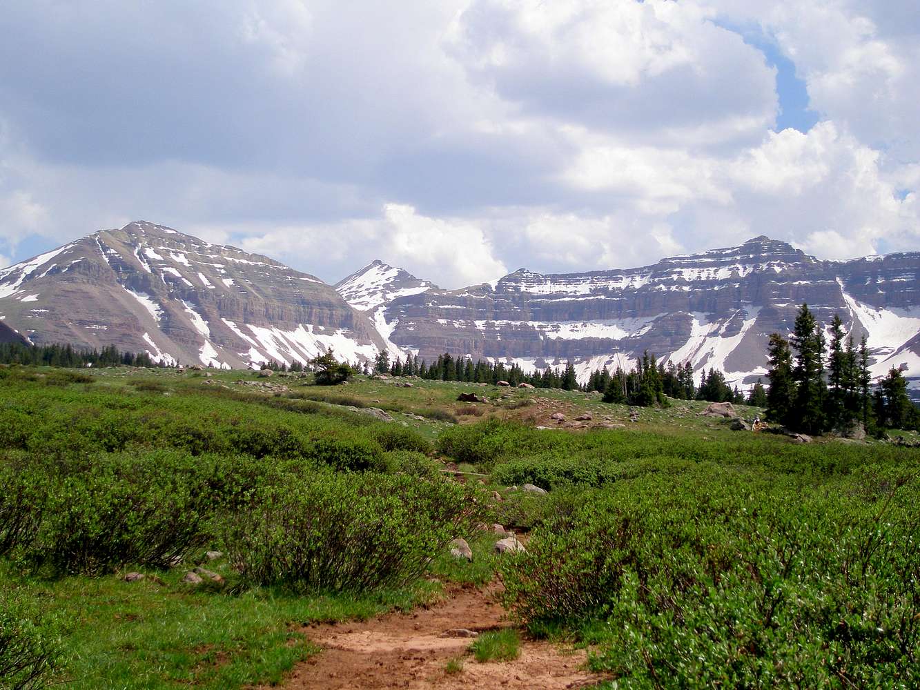
Val Benchmark
Additional Parents
Image
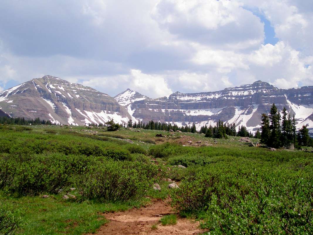
Henrys Fork Basin
View High-Resolution Image
Henrys Fork Basin
The threat of thunderstorms is a daily occurrence in the Uintas. West Gunsight/Dome Peak (13103) on the left, Kings Peak (13528) in the center, and Henrys Fork Peak (13260) on the right. 6-26-2008
« PREV
NEXT »
ZeeJay
on
Apr 16, 2009 9:17 pm
Comments & voting
Other parents
Lat/Lon:
40.77650°N / 110.3723°W
Image Type(s):
Hiking
Image ID:
506610
1941 Hits
83.1
% Score
16
Votes
Log in to vote
Comments
No comments posted yet.
to post!
Don't have an account?
Val Benchmark
(Mountain/Rock)
« PREV
Viewing
#4 of 19
GALLERY
NEXT »
ZeeJay's Image Gallery
« PREV
Viewing
#248 of 1388
GALLERY
NEXT »
Photo of the Hour
(Album)
Loading....
×
You need to login in order to vote!
User Name
Password
Remember me
Forgot your password?
Log me out when I close my browser.
Keep me logged in all the time.
sign in as a user
Don't have an account?
Register now for FREE
Rating available
Suggested routes for you
People who climb the same things as you
Comments Available
Create Albums
Register Here


