I've heard that fantastic views greet the fortunate person to reach the
summit of
Arizona's Mount Wilson.
Today, winds exceeding 65-mph brought in clouds with a snow level of 6,500
feet, so it's probably snowing on Mount Wilson's summit as I type this.
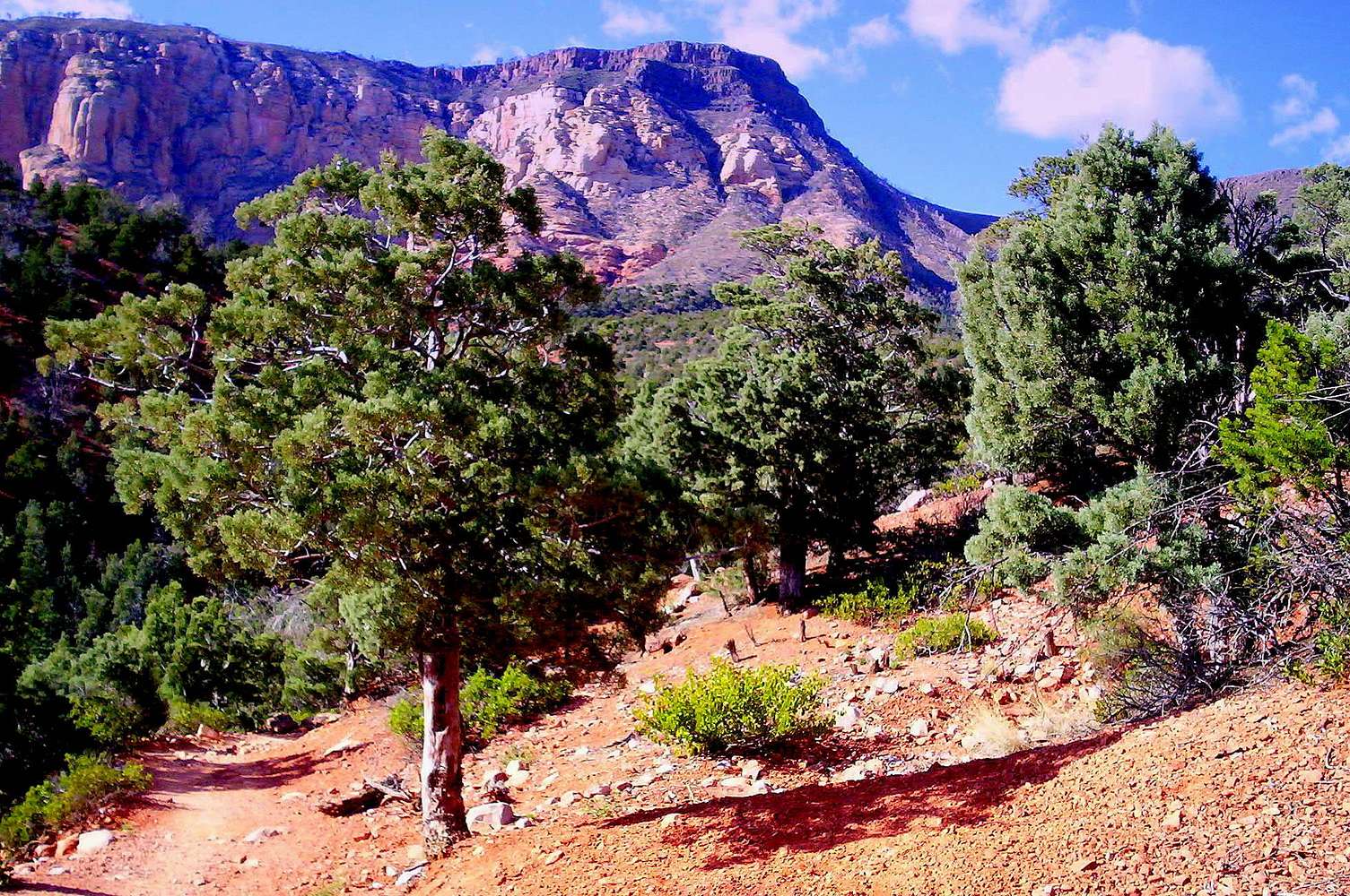
This is the highest peak in the Sedona area. There's several ways to do
Wilson, but I want to go via the
South Route or Wilson Mountain Trail.
Anya Jingle has an excellent slide show on this specific trail & mountain.
I'd like to go on a clear day, so I can see Steamboat Rock and the "red
sail" of Accropolis" to the west, and the San Francisco Peaks and Oak Creek
Canyon to the north.
A person can also view the aftermath of the
Brins Fire:
The 1,500+ acre Brins Fire ignited June 18, 2006, off Brins Mesa Trail, and
then spread east and northeast to Wilson Mountain and Oak Creek Canyon.
According to fire officials, the Brins Fire started from an escaped
campfire at a suspected transient camp.
(Photo taken April 1, 2009 from Wilson Canyon on the south side of the mountain.)


