If coming from Elko

If coming from Elko

Head for the Wild Horse Recreation area and about midway along the lake on the east side, look for county road 745. It was signed when I was there and noted the Cold Creek Guard Station, Big Bend Campground and Jarbidge. It was about 9 miles to the turn off for the Cold Creek Guard station. Just beyond the junction to CCGS, there was a sign for Jarbidge with 40 miles on it. Stay on the main road and you will pass Big Bend Campground. The road is graded all the way from the main highway but there are places where you need to exercise caution and watch for cattle on the road. Eventually the road you are on will meet county road 067 that comes up from the Charleston Reservoir and combines with road 745 becoming in a bit county road 751 which is signed for Jarbidge. Don't be in a hurry, the road is good but washboarded and rough in some areas. When I reached a junction at the Diamond A Ranch, I took the left fork which hooked into road 748 which headed south to Jarbidge. I strongly recommend that you take good maps (I used Benchmark) and perhaps some GPS waypoints if you take this route from Elko. Also I would make certain I had gassed up in Elko because there is no gas until you reach Jarbidge. You do travel through some great scenery along the way so don't be in a rush, it'll take two hours to get from highway 225 to Jarbidge, a distance of roughly 50 miles.
Dean
on Jan 24, 2011 11:09 am
Image ID: 694250

Comments

Post a Comment
Viewing: 1-2 of 2

famartin1 - Jul 24, 2013 3:02 pm - Hasn't voted
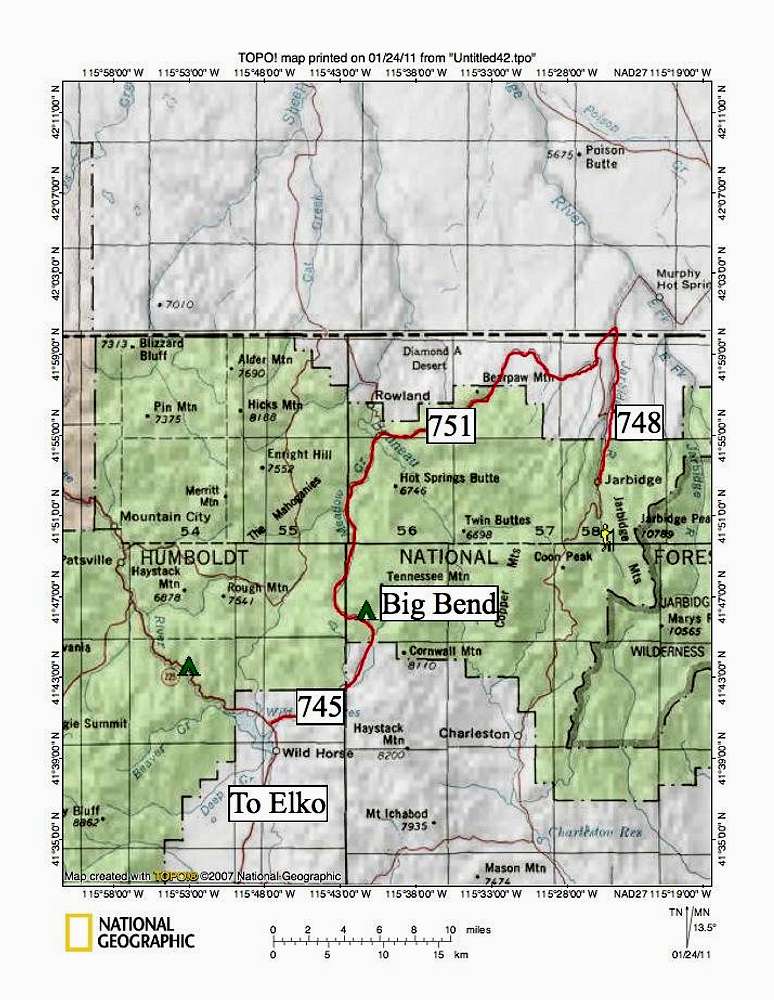
Better route if the snow is melted

Taking the route which goes past Mt. Ichabod on your map (near bottom) is easier if the snow is all melted. Its in as good or better shape than the route you describe, is better signed (only two turns between NV-225 and Jarbidge, with both signed (though one poorly at present), and the scenery is pretty spectacular in wildflower season.

North on NV-225 to the first sign for Jarbidge (reads "Charleston 21, Jarbidge 47"). East on that road (it has a number but not signed so pointless to remember) to end at Charleston Reservoir, then north from there. The harder turn (by that I mean easier to miss) is just north of the ghost town of Charleston, which is presently barely signed with an old wood board.

famartin1 - Jul 24, 2013 3:04 pm - Hasn't voted

Link you posted matches my description, not your map

Note: The link you list, "Get me to Jarbidge!" describes this route as their first choice.

Viewing: 1-2 of 2