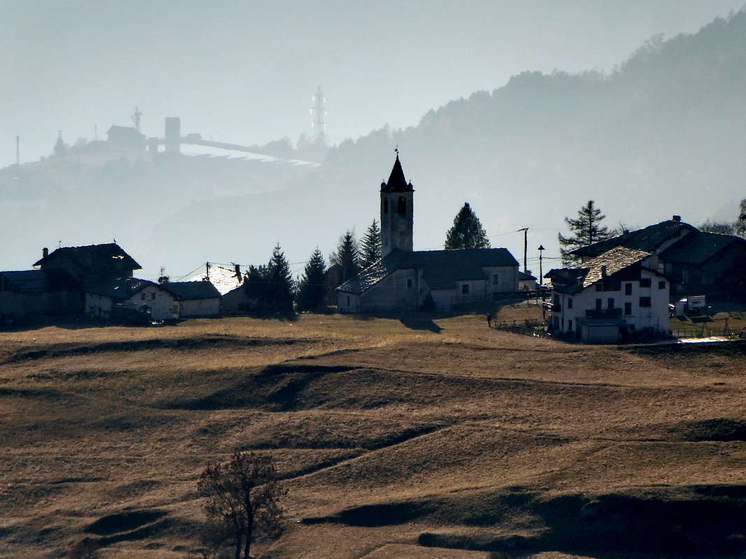
Lignan, main village of Saint-Barthélemy hanging valley
![Backlit view of Lignan, the main village of Saint Barthélemy hanging valley]()
Backlit view of Lignan, the main village of Saint Barthélemy hanging valley
|
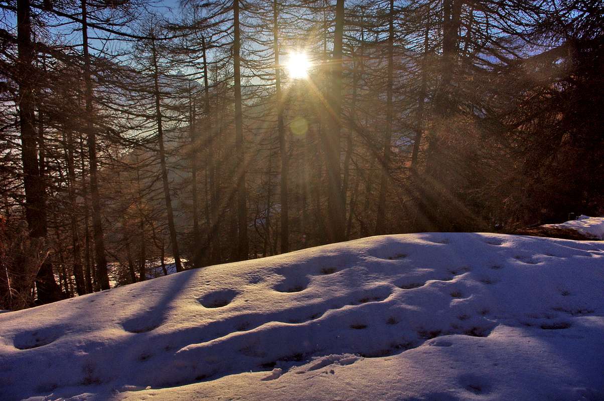
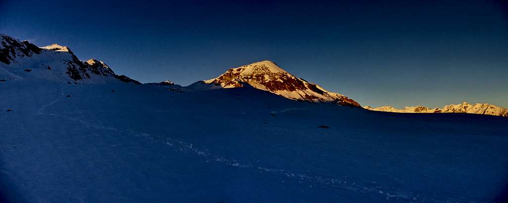
In the wood above Porliod
![With the wishes of a happy New Year!]()
Winter afternoon in the woods of Porliod above the "Osteria del Passet"
|
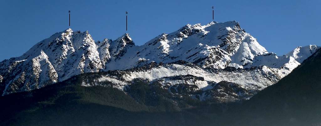
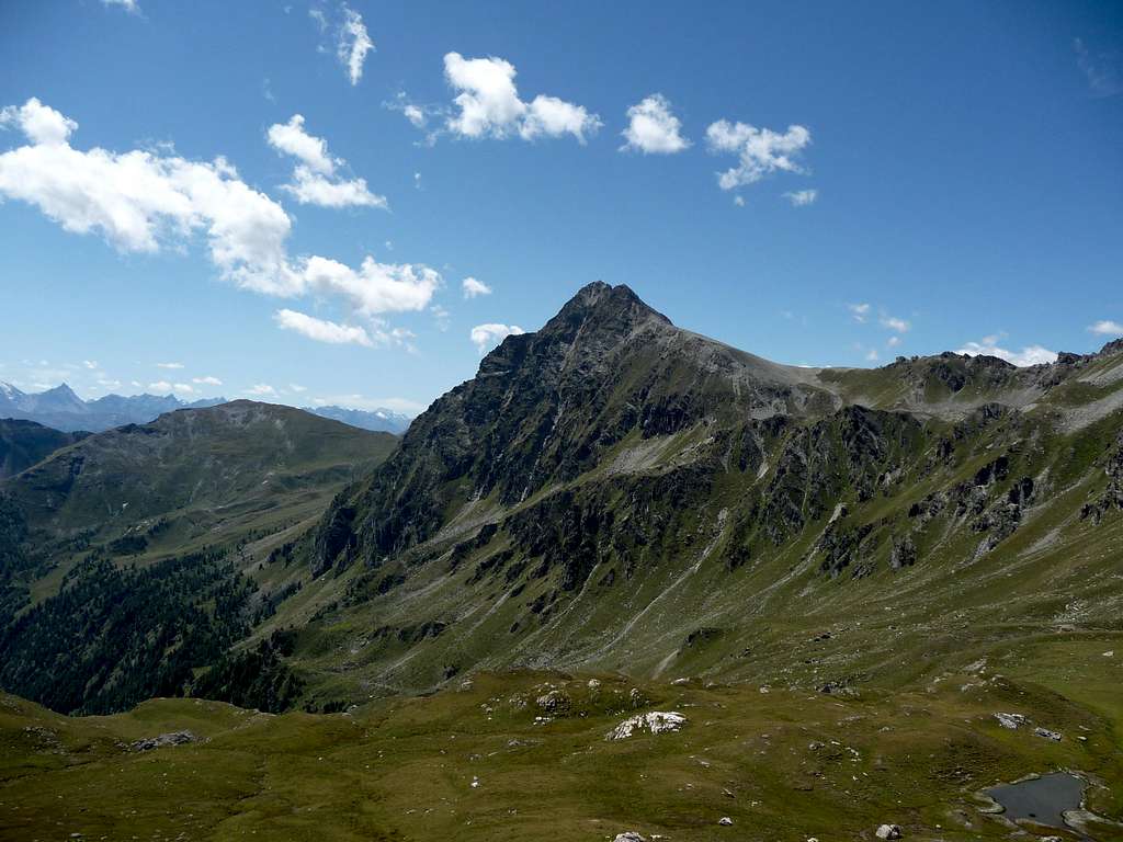
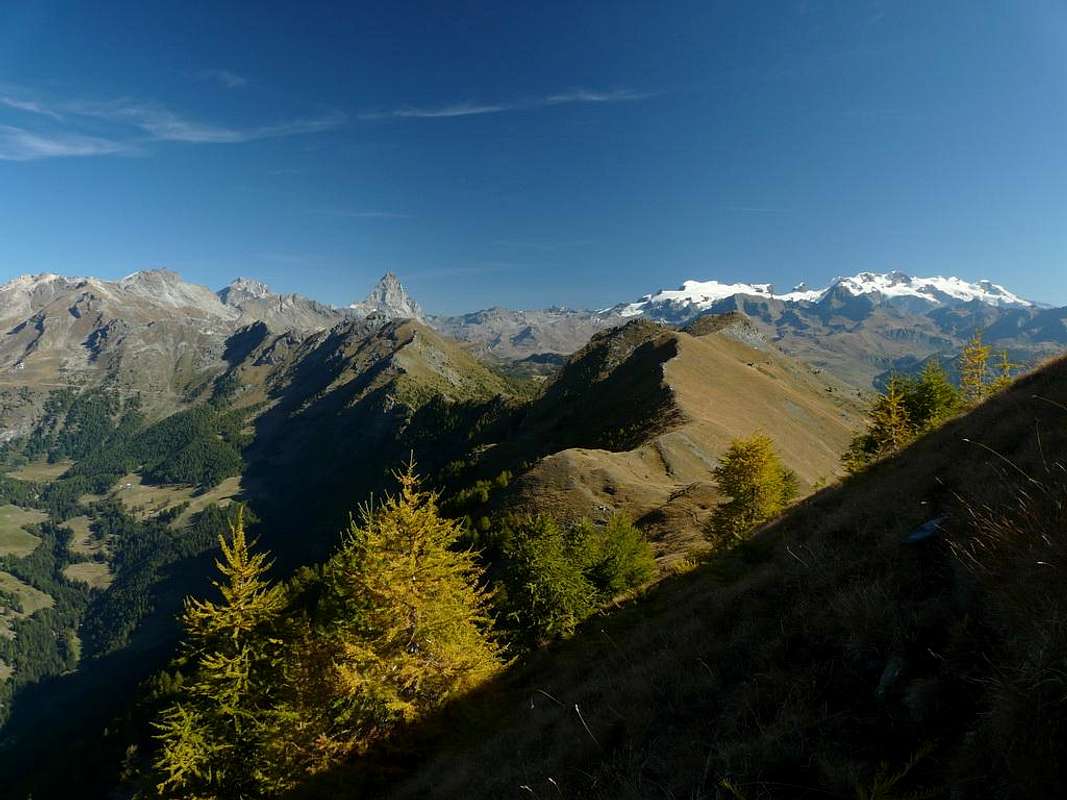
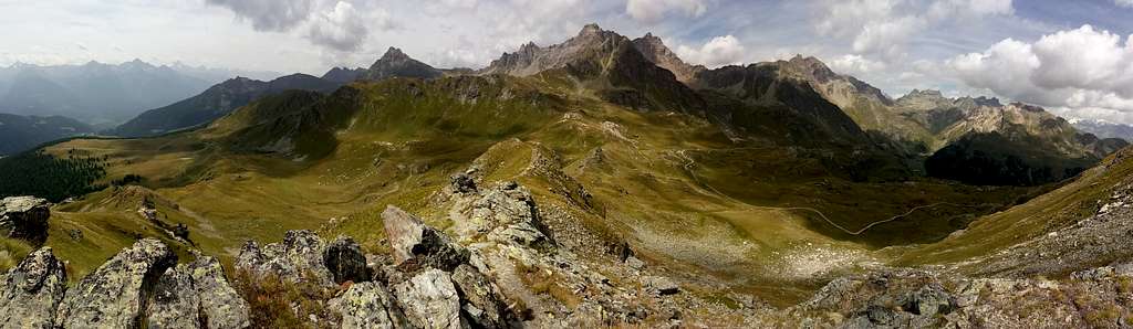
Sceneries according to an angle of view between South-East and South-West
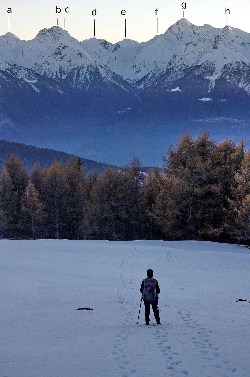
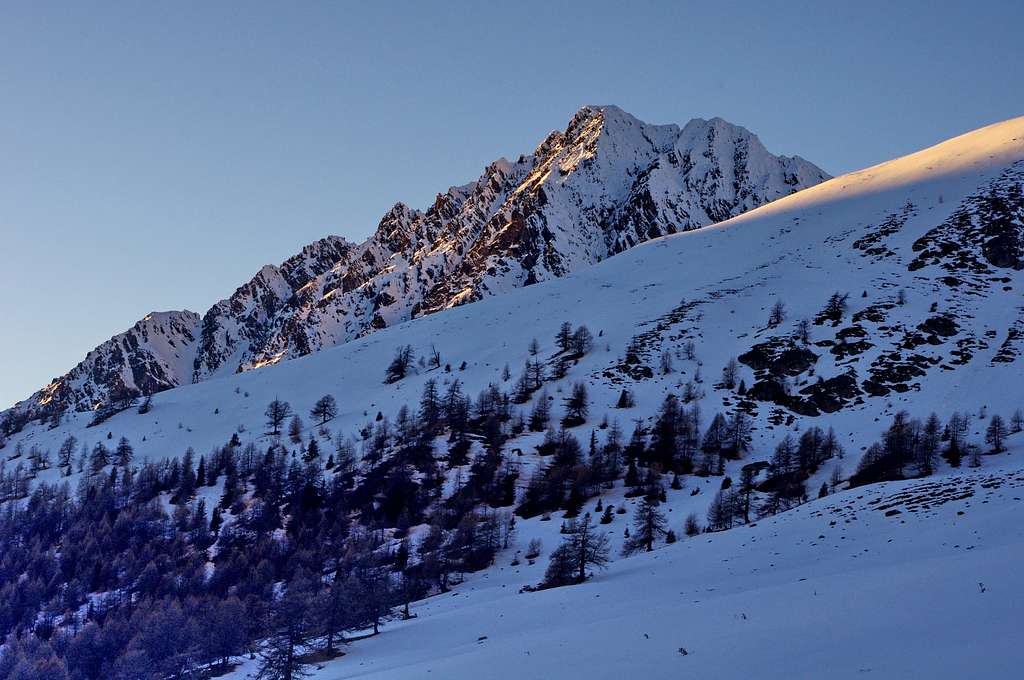
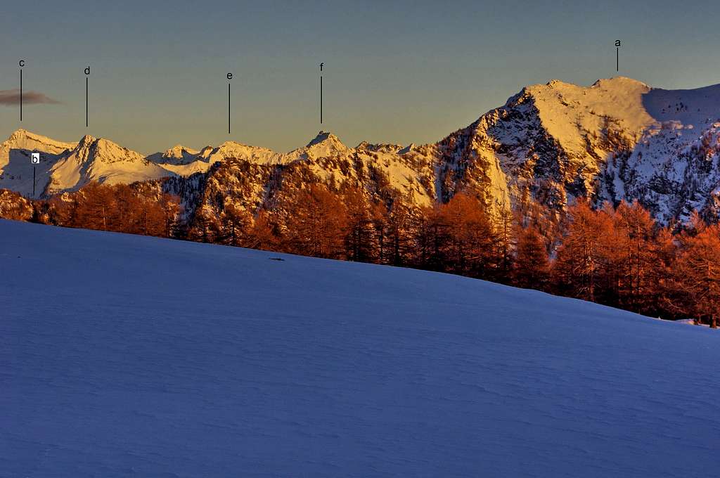
![Cima Nera, Mont Giron and Mont Ruvi from the road to Lignan]()
Cima Nera, Mont Giron and Mont Ruvi from the road to Lignan
Cima Nera 2699m (a), Mont Giron 2702m (b), and Mont Ruvi (or Revic) 2922m (c) viewed looking approximately towards SE from the first hairpin bends of the road leading to Lignan, the main village of the Saint Barthèlemy hanging valley.
|
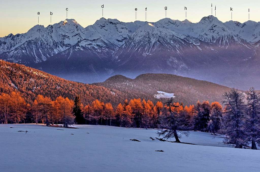
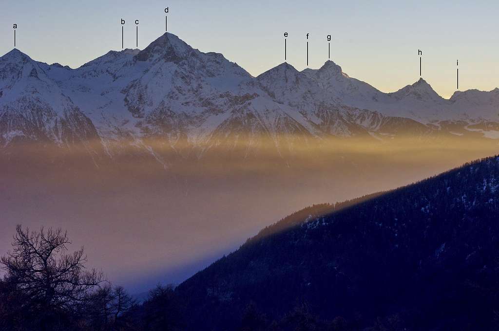
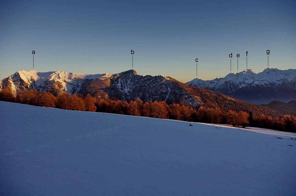
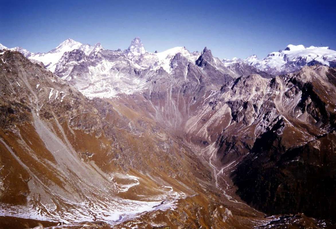
![View from Saint Barthélemy hanging valley]()
View from Saint Barthélemy hanging valley toward the opposite ridge of the main valley
| List of the identified summits |
a) Cima Nera 2699m
b) Mont Giron 2702m
c) Mnte Ruvi 2922
d) Monte Avic 2.672m
e) Monte Iverta 3.270m
f) Punta Chermontane 2.952m |
g) Monte Glacier 3.264m
h) Monte Delà 3139m
i) Monte Rafray 3145m
j) Bec de Viot 3050m
k) Monte Moussaillon 3073m
l) Torre Ponton 3101m |
|
![Looking Southward from Saint Barthélemy hanging valley]()
Looking Southward from Saint Barthélemy hanging valley
From left to right one can recognize the outline of:
a) Mont Delà 3139m
b) Monte Rafray 3145m
c) Bec de Viot 3050m
d) Monte Moussaillon 3073m
e) Torre Ponton 3101m
f) Torre Pontonnet 3173m
g) Tersiva 3512m
h) Punta Tessonet 3264m
|
![Backlit view within the range SSW-SW from Saint Barthélemy hanging valley]()
Backlit view within the range SSW-SW from Saint Barthélemy hanging valley
From left to right one can recognize the outline of:
a) Becca di Sale 3137m
b) Punta Garin 3455m
c) Punta Rossa dell'Emilius 3407m
d) Emilius 3559m
e) Becca di Nona 3142m
f) Punta Bianca della Grivola 3793m
g) La Grivola 3969m
h) Gran Nomenon 3488m
i) Roletta 3384m
|
![SAINT BARTHÉLEMY VALLEY]()
Southward view from Saint-Barthélemy hanging valley (Photo by Andrea Perino)
|
Westward Sceneries
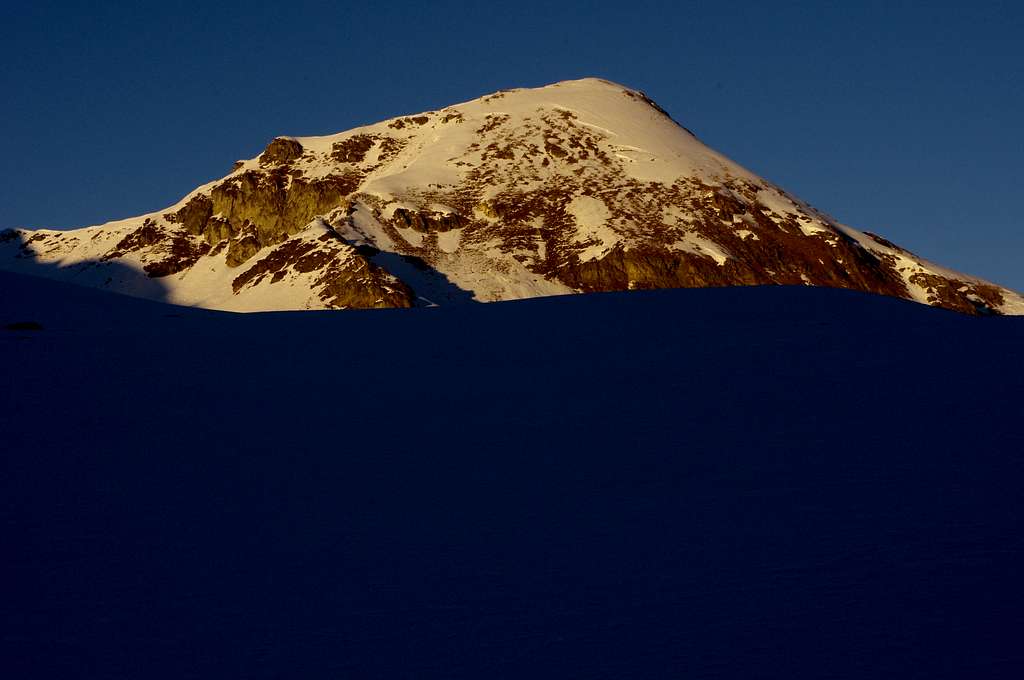
![Monte Faroma from the woods above Lignan]()
Looking westward from the woods above Lignan: in background Monte Faroma (3073m)
|
![Monte Faroma from Saint-Barthélemy hanging valley]()
Looking westwards from the snowy meadows above the limit of the woods in Saint Barthélemy hanging valley: in background Monte Faroma (3073m)
|
![Monte Faroma]()
Monte Faroma (3073m) seen from Colle di Chaleby (Photo by p-mike)
|
Northward Sceneries
![Mont Morion (of Saint Barthélemy)]()
Looking northwards from the snowy meadows above the woods of Saint Barthélemy hanging valley: Mont Morion (2710m), also known as Mont Rion, peeps out at the center in background
|
![Mont Morion (of Saint Barthélemy)]()
Sunny Mont Morion (2710m) in Vallone di Saint Barthélemy (not to be mistaken for the more imposing Mont Morion in Valpelline)
|
Eastward Sceneries
![Becca d'Aver and Cima Longhede]()
Eastward view from the snowy meadows, above the limit of the woods, in Saint Barthélemy valley
Behind the ridge going from Becca d'Aver 2469m (a) to Col Fenetre 2182m (b), one can recognize, from left to right:
c) Testa Grigia 3315m
d) Monte Tantanè 2734m
e) Punta Piure 2907m
f) Corno Bussola 3023m
|
![Becca d'Aver and Cima Longhede]()
Becca d'Aver 2469m (a) and Cima Longhede 2416m (b) seen from Vallone di Saint Barthélemy
In the background one can recognize:
c) Monte Barbeston 2482m
d) Cima Nera 2699m
e) Mont Giron 2702m
f) Monte Ruvi 2922m
g) Monte Avic 3006m
|
![Cima Longhede da N- NW]()
Cima di Longhede (2416m), Col de Filon (1894m) and Mont Ander (1931m) (Photo by Emilio Bertona)
|
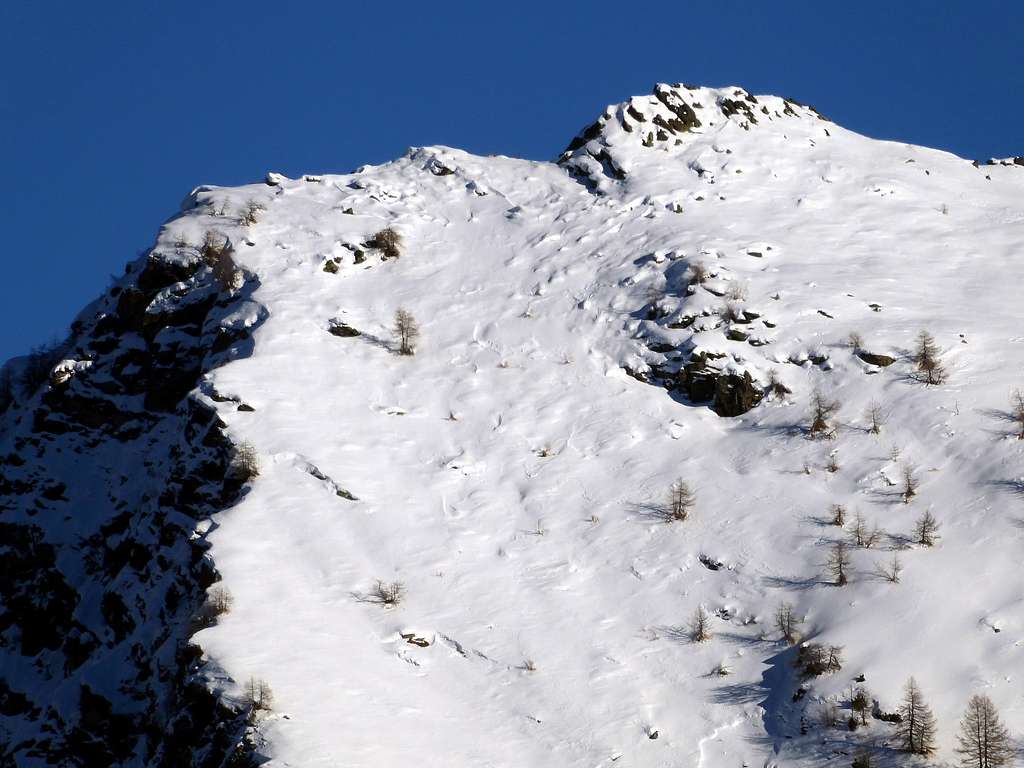
![Zooming on the snowy slopes of Becca d'Aver]()
Close view, from the woods above Lignan, of the snowy slopes of Becca d'Aver (2469m)
|
![Cima Longhede]()
Close view of Cima Longhede (2416m) from Saint-Barthélemy hanging valley
|
Southward views from the Eastern ridge of Saint Barthèlemy valley
![Cima Longhede]()
Southward view with Cima Longhede in the foreground (Photo by Andrea Perino)
In the background one can recognize (from left): Punta Rossa dell'Emilius, Emilius, Grivola, Becca di Nona and Gran Nomenon
|
![Becca d'Aver-Cima Longhede]()
Southward view from the ridge including also Becca d'Aver (left) and Cima Longhede (right) (Photo by Andrea Perino)
|
![Descending from Mount Meabé to Aver/Longhede Points]()
Descending from Mount Meabé toward Becca d'Aver and Cima Longhede (Photo by Emilio Bertona)
|
![Becca d'Aver and Cima di Longhede from Mont Meabé]()
Becca d'Aver and Cima di Longhede from Mont Meabé (Photo by Emilio Bertona)
|
Northward views from the Eastern ridge of Saint Barthèlemy valley
![view from Cima Longhede]()
In the foreground the ridge including Becca d'Aver and Monte Beamè, whereas in the background one can recognize (from left):
Punta Cian, Dent d'Herens, Matterhorn and the whole Monte Rosa group
|
![Cima di Longhede/Becca d'Aver Traverse]()
Emilio Bertona during the descent from Cima Longhede (2416m) to Becca of Aver (Photo by Osvaldo Cardellina)
|
![From Cima di Longhede to Matterhorn and Mount Rosa]()
From Cima di Longhede view of Becca d'Aver and the ridge connecting to Mont Meabé (Photo by Emilio Bertona)
In the background Matterhorn and the whole Monte Rosa group
|
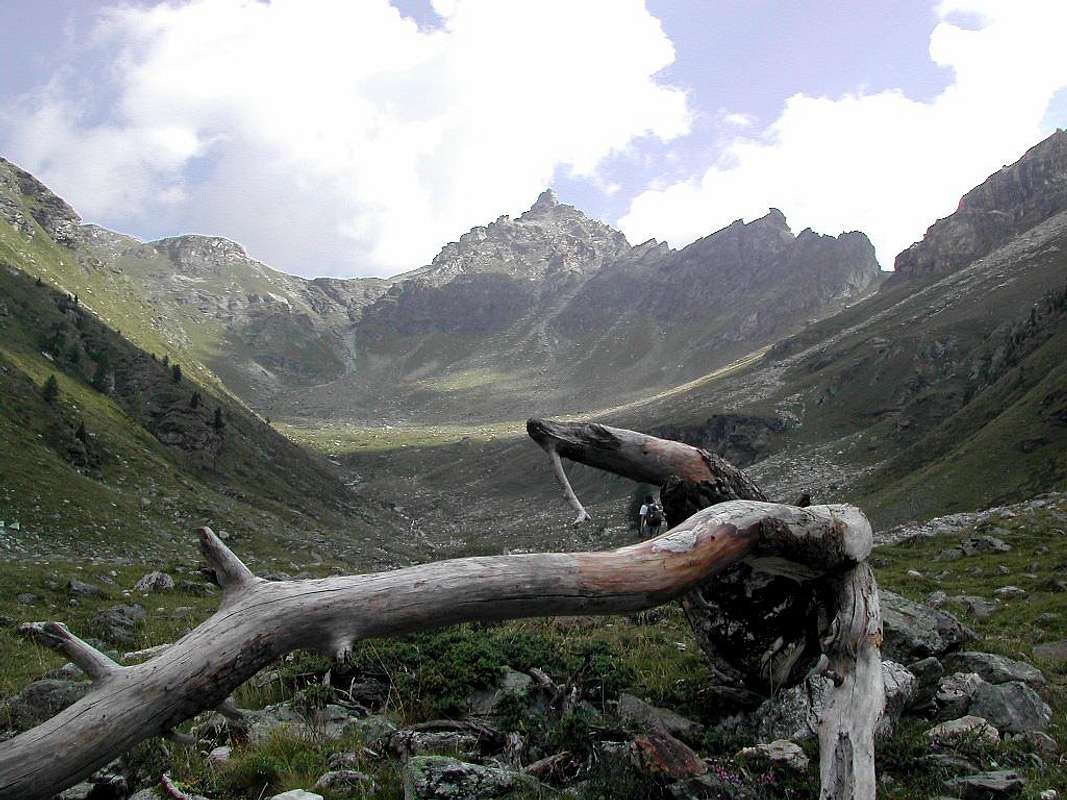
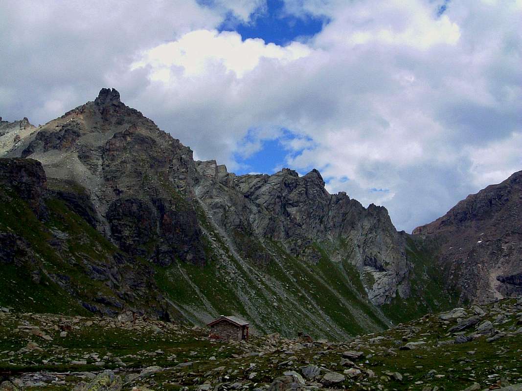
Upper Saint-Barthélemy valley
![Upper St. Barthélemy Valley with Praterier Alp 1986]()
View from Becca Fontaney (2971m) of the upper Saint-Barthélemy valley with the Praterier Alpage (Photo by Osvaldo Cardellina)
|
![Near the head of Vallone di St. Barthèlemy]()
In the upper Vallone di St. Barthélemy, along the way to the Luseney lake (2574m)
.
In the background one can see the highest Becca des Crottes (3001m) and, at its right, the Tours des Crottes and the Fenêtre de Tzan (2734m)
|
![Luca Reboulaz bivouac 2560 m]()
Luca Reboulaz bivouac built in the year 1993 near Luseney lake
It replaces the Franco Nebbia bivouac, later relocated at the foot of Colle Garin, on the Arpisson side
|
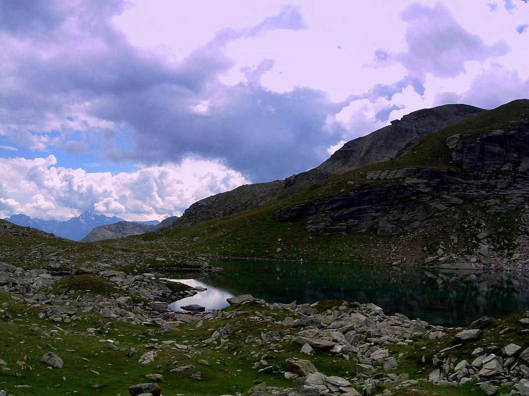
![Luseney Lake]()
Luseney lake (2574m), near Luca Reboulaz bivouac (Photo by Silvia Mazzani)
|
![On the shore of Luseney Lake (2574m)]()
On the shore of Luseney Lake (2574m), looking towards the multiple summits of Becca di Luseney, partially hidden in the clouds
|
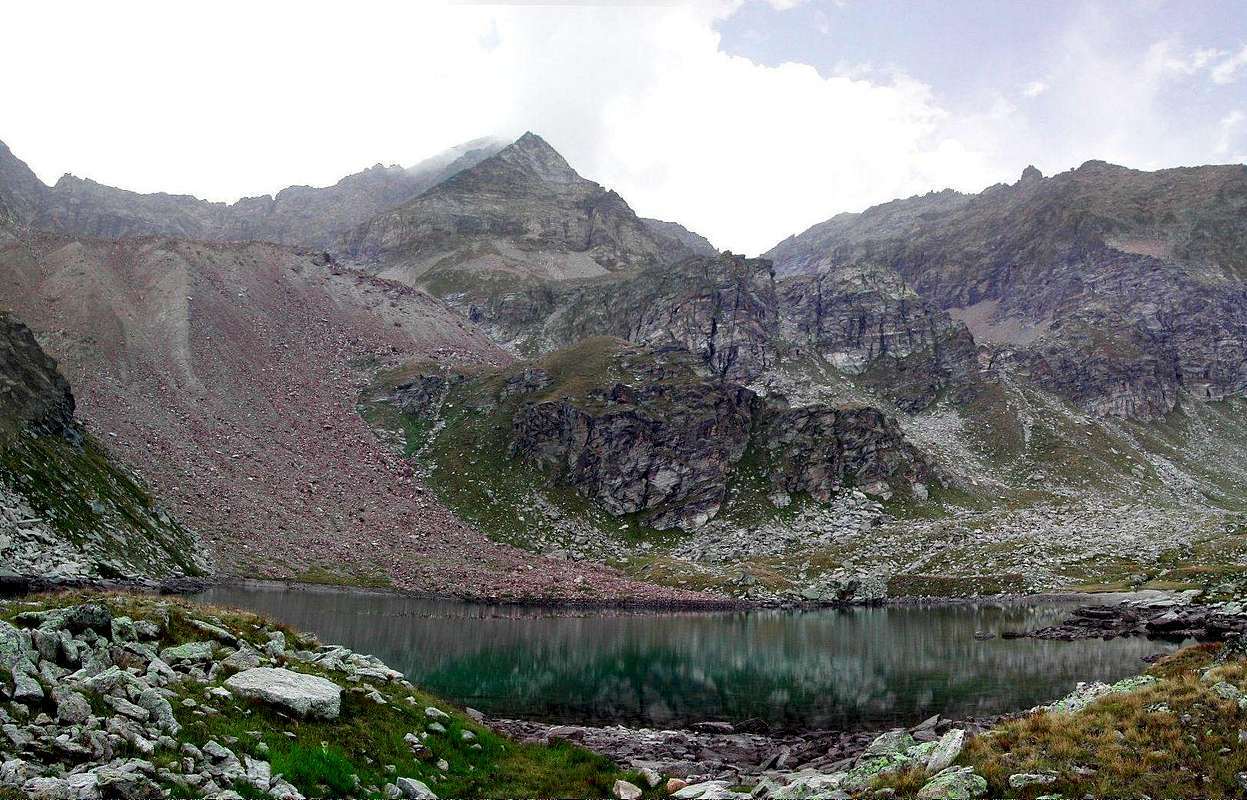
![Becca di Luseney]()
Becca di Luseney (3504m) and Luseney lake at its foot. Close to the lake one can locate the Reboulaz bivouac (Photo by Corvus)
|
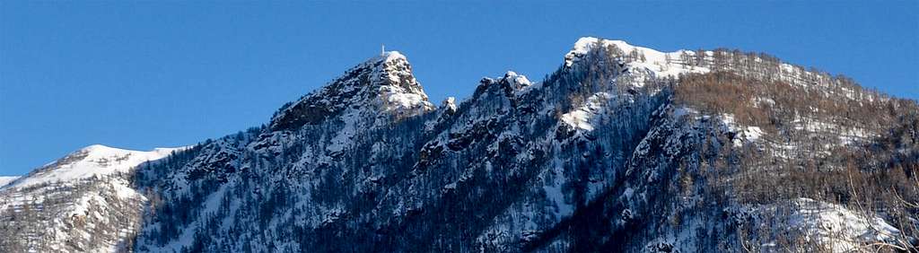
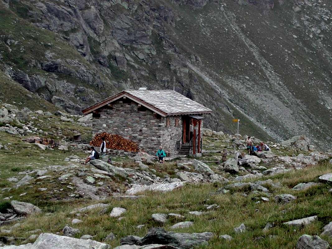
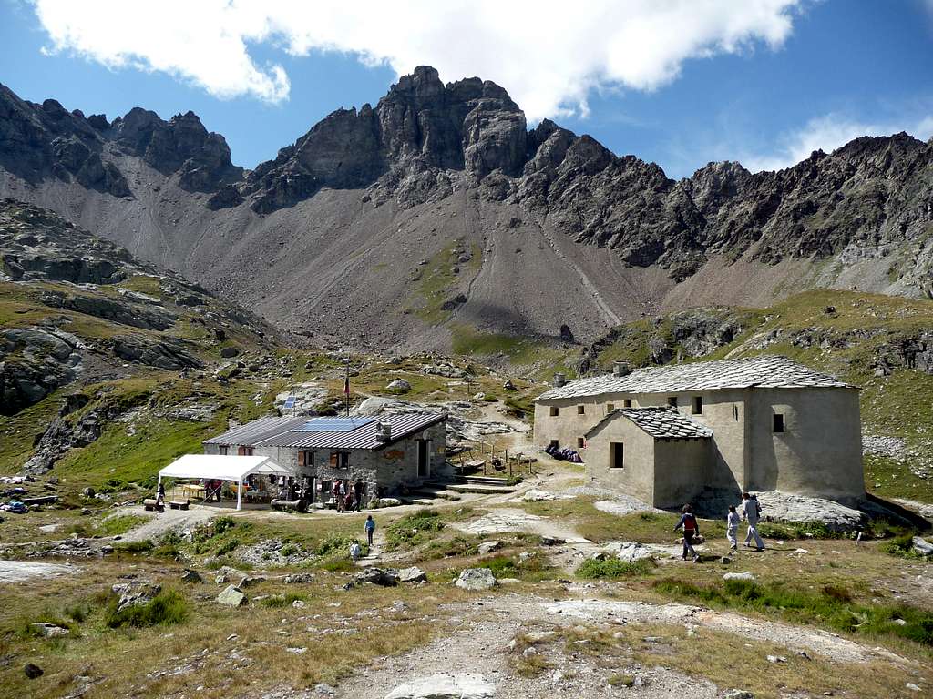
Oratorio di Cuney and Rifugio Cuney
![Rifugio CUNEY]()
The old Oratorio di Cuney (2652m) and the neighboring Rifugio Cuney, open in 1994 (Photo by p-mike)
|
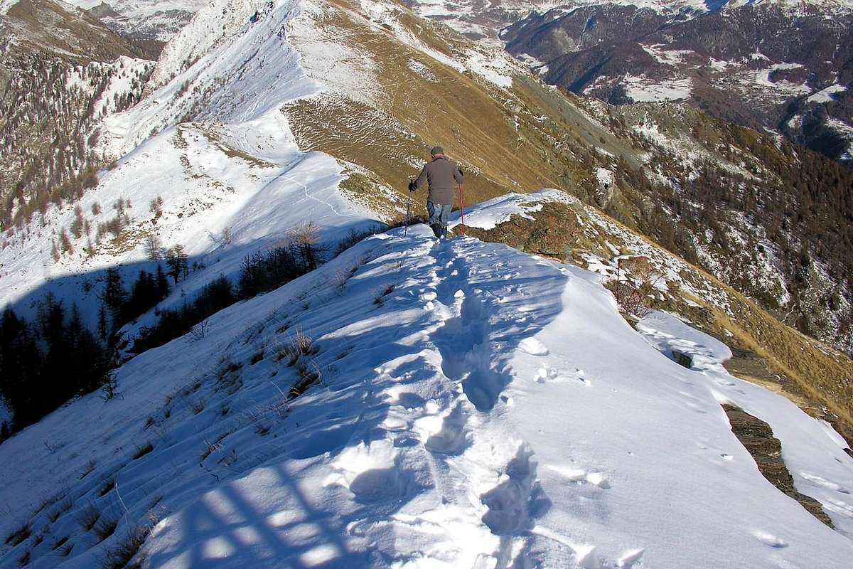
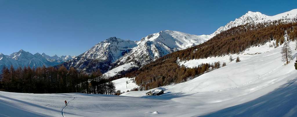
Ski touring in Saint Barthélemy valley
![Ski touring in Saint Barthélemy valley]()
|
Ski touring in Saint Barthélemy valley (Photo by Andrea Perino)
The nearer ridge includes (from right) Monte Faroma, Gran Pays and Becca d'Aveille , whereas in the farther ridge one can recognize (from left): Becca di Sale, Emilius, Becca di Nona, Grivola, Gran Nomenon, Punta Bioula, Punta di Ran.
|
Panoramic view from Mont Morion
![Pano view from Mont Morion]()
|
Pano view from Mont Morion including Monte Faroma, Monte Pisonet, Becca del Merlo and Becca d'Arbiere (Photo by Andrea Perino)
|
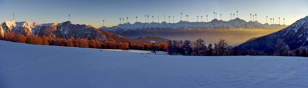
Overall pano (angle of view from East to SW)
![Overall panoramic view]()
|
|
Overall panoramic view from the snowed meadows above the limit of the woods in Saint-Barthélemy hanging valley
|
In the outlines of the ridges, in addition to the most known summits :
1) Becca d'Aver 2469m
2) Longhede 2416m
3) Tersiva 3512m
4) Emilius 3559m
|
5) Becca di Nona 3142m
6) Grivola 3969m
7) Gran Nomenon 3488m
|
other summits that can be recognized and annotated are:
a) Monte Barbeston 2482m
b) Cima Nera 2699m
c) Mont Giron 2702m
d) Monte Ruvi 2922
e) Monte Avic 3006m
f) Monte Iverta 3270m
g) Punta Chermontane 2952m
h) Monte Glacier 3264m
i) Monte Delà 3139m
j) Monte Rafray 3145m
k) Monte Moussaillon 3073m
l) Torre Ponton 3101m
m) Punta Tessonet 3264m
|
n) Punta Gianni Vert 3148m
o) Punta di Laval 3098m
p) Punta Coupé 3213m
q) Grande Roise 3353m
r) Petite Roise 3276m
s) Becca di Sale 3137m
t) Punta Garin 3455m
u) Punta Rossa dell'Emilius 3407m
v) Punta Bianca della Grivola 3793m
w) Monte Roletta 3384m
x) Mont Favret 3173m
y) Punta Bioula 3414m
z) Punta di Ran 3271m
|
External Links
Saint Barthélemy Valley by Osvaldo Cardellina


Comments
Post a Comment