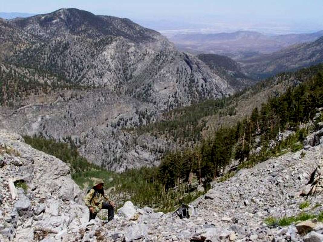
In “Airplane Gully” looking at plane crash debris on route to Charleston Peak.
Fletcher Peak is in view on the left. July 19, 2007.
This is another off trail alternative to reach the top of Southern Nevada.
On November 17, 1955 a plane on a military mission crashed on Charleston Peak. The main wreckage still lies on top of this gully. There are numerous other small pieces of the plane scattered throughout the gully. Thus, the gully has been locally named the “airplane gully”. To reach it, one needs to climb to the top of Big Falls and head west. The gully tops out on the South Loop trail. From there it is just a few minutes to the summit.
4.5 miles total with 4000 feet of elevation gain (one way)


