Toggle navigation
Mountains
Routes
Images
Trip Reports
Forum
What's New
People
Areas & Ranges
Articles
Trailheads
Canyons
Huts & Campgrounds
Albums
Logistical Centers
Fact Sheets
Lists
Custom Objects
Gear
Plans & Partners
WELCOME TO SUMMITPOST
SIGN IN
REGISTER
Jerimoth Hill
Additional Parents
Image
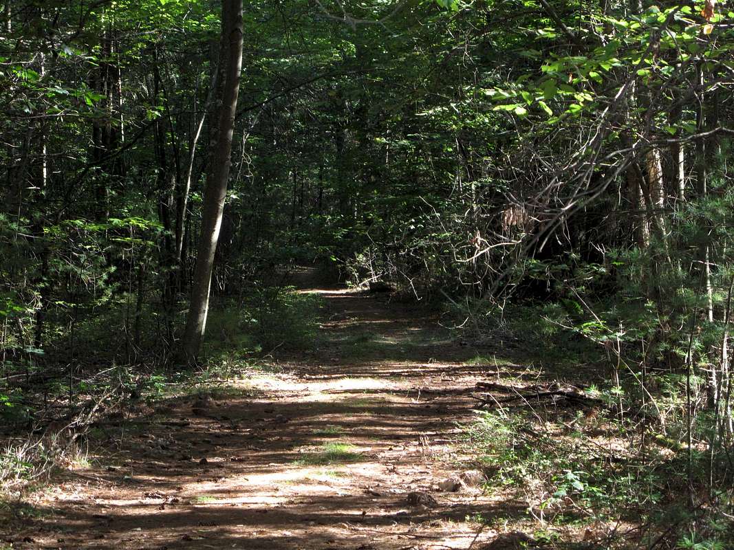
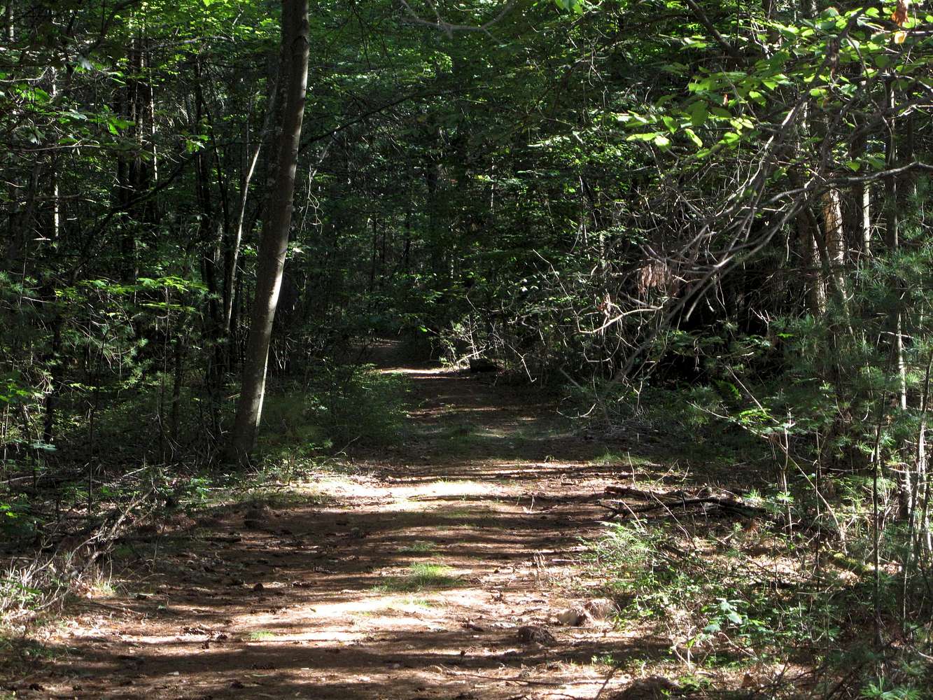
Jerimoth Hill -- The Access Path (2012)
View High-Resolution Image
Jerimoth Hill -- The Access Path (2012)
A short (<.25 mile) path leads from highway RI-101 to the accepted highest natural elevation in Rhode Island. This snapshot was taken on 29 August 2012.
« PREV
NEXT »
milanite
on
Aug 10, 2013 7:12 pm
Comments & voting
Other parents
Lat/Lon:
41.84750°N / 71.78773°W
Image Type(s):
Hiking
Image ID:
860752
3394 Hits
71.06
% Score
1
Votes
Log in to vote
Comments
No comments posted yet.
to post!
Don't have an account?
Jerimoth Hill
(Mountain/Rock)
You are at
the First
Image
Viewing
#1 of 1
GALLERY
You are at
the Last
Image
milanite's Image Gallery
« PREV
Viewing
#41 of 91
GALLERY
NEXT »
×
You need to login in order to vote!
User Name
Password
Remember me
Forgot your password?
Log me out when I close my browser.
Keep me logged in all the time.
sign in as a user
Don't have an account?
Register now for FREE
Rating available
Suggested routes for you
People who climb the same things as you
Comments Available
Create Albums
Register Here


