
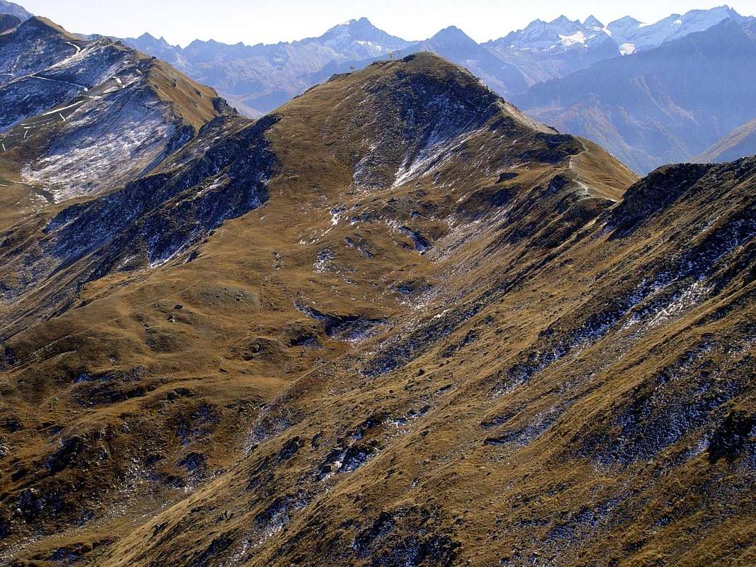
Left Punta di Mompers Piatta di Grevon Couìs or Pic de la Tombe & Drinc 2003
Watershed Pointe du Drinc-Pointe du Couìs-Piatta de Grevon-Pointe de Mompers or Montpers (2793m).
North-northwestern Crest of watershed from Col de la Pierre (2584m).
In distance: Gran Paradiso Eastern Chain or Eastern Graians from Punta Nera (left) until Punta delle Sengie with Ago delle Sengie (Needle), bypassing Punta della Scaletta, Punte del Rancio, Torre di Lavina & Lavinetta, Petite, Grande Arolla, Punta di Forzo, Monveso di Forzo and Roccia Azzurra.
Background: Pt. delle Tsesère or Chésère (left), Punta di Valmiana or Vermiana.
To the right or North: Pointe de la Pierre (2653m)
October 12th, 2003
Photo
by
emilius


