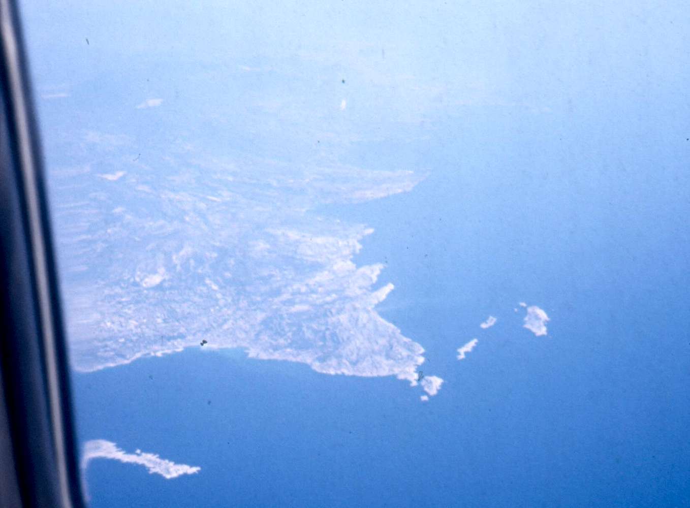
Aerial view from about 10000 m altitude of all of the Calanques, looking west-east; Sept. 1986.
The 3 fingers pointing roughly away from the observer into the Mediterranean Sea are defining the Calanques of Sormiou, Morgiou and En Vau, resp. Behind En Vau there is the large bay of Cassis, followed by the some 300 m high Falaise de Cassis. In the background, hardly visible, one can still discern the bay of La Ciotat.
One of the impressive things with this image is the faint gray stroke visible immediately before (west of) the Sormiou finger. This is probably the sewage water stream of Marseille, coming in here. I remember having been quite shocked when hiking along there in 1979 and suddenly detecting a body-thick gush of dirty water shooting out of a rock wall several meters above sea level. The riddle of all the flocks of pieces of toilet paper floating near the shore west of this point was now solved ...
Maybe the situation has now, 20 years later, improved.


