Little unknown ... watershed from Mont Mary towards Tête d'Arpisson
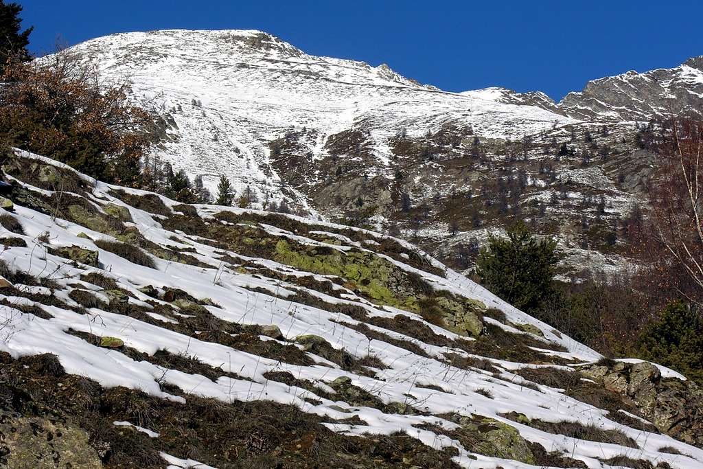
From left or West: Mont Mary (2.815m) Southern & Southeastern Slopes, Chaudière's Southwestern Pass or Notch, Pointe de Chamerod (about 2755/60m) and Pointe de Les Prèles or Les Preyes (about 2760/62m), Chaudière's Northeast Pass, Southwestern Ridge of Tête d'Arpisson (2.856 meters).
Photo by Emilio Bertona January 02th, 2005


