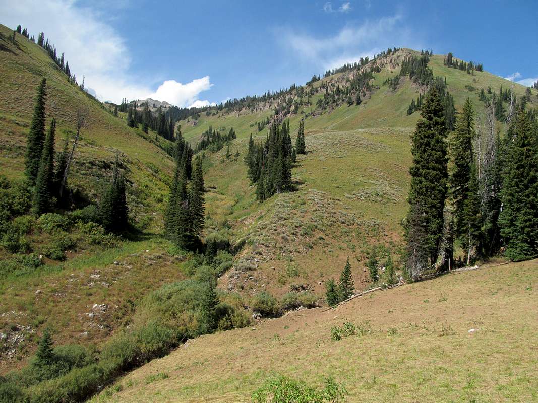
some Topo maps may show a "Red Slate Trail" as a shortcut between the S Fork Indian Creek and the lake at 9,200'. It exists in some places, much less so in others, but you mainly want to ascend up and through this gully/drainage to connect the two areas. One dry fall area with some cliffs that you can go around.


