Toggle navigation
Mountains
Routes
Images
Trip Reports
Forum
What's New
People
Areas & Ranges
Articles
Trailheads
Canyons
Huts & Campgrounds
Albums
Logistical Centers
Fact Sheets
Lists
Custom Objects
Gear
Plans & Partners
WELCOME TO SUMMITPOST
SIGN IN
REGISTER
Otis Peak
Additional Parents
Image
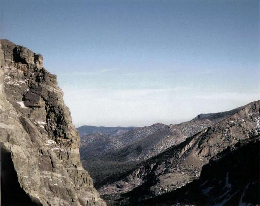
looking down from Andrews...
View High-Resolution Image
looking down from Andrews...
looking down from Andrews Tarn, The Gash is to the right
« PREV
NEXT »
Yeti
on
Jan 12, 2006 7:34 am
Comments & voting
Other parents
Lat/Lon:
40.29220°N / 105.68°W
Image ID:
145225
1421 Hits
70.59
% Score
1
Votes
Log in to vote
Comments
No comments posted yet.
to post!
Don't have an account?
Otis Peak
(Mountain/Rock)
You are at
the First
Image
Viewing
#1 of 1
GALLERY
You are at
the Last
Image
Yeti's Image Gallery
« PREV
Viewing
#96 of 129
GALLERY
NEXT »
×
You need to login in order to vote!
User Name
Password
Remember me
Forgot your password?
Log me out when I close my browser.
Keep me logged in all the time.
sign in as a user
Don't have an account?
Register now for FREE
Rating available
Suggested routes for you
People who climb the same things as you
Comments Available
Create Albums
Register Here


