Toggle navigation
Mountains
Routes
Images
Trip Reports
Forum
What's New
People
Areas & Ranges
Articles
Trailheads
Canyons
Huts & Campgrounds
Albums
Logistical Centers
Fact Sheets
Lists
Custom Objects
Gear
Plans & Partners
WELCOME TO SUMMITPOST
SIGN IN
REGISTER
Army Route 5.5-5.7
Additional Parents
Image
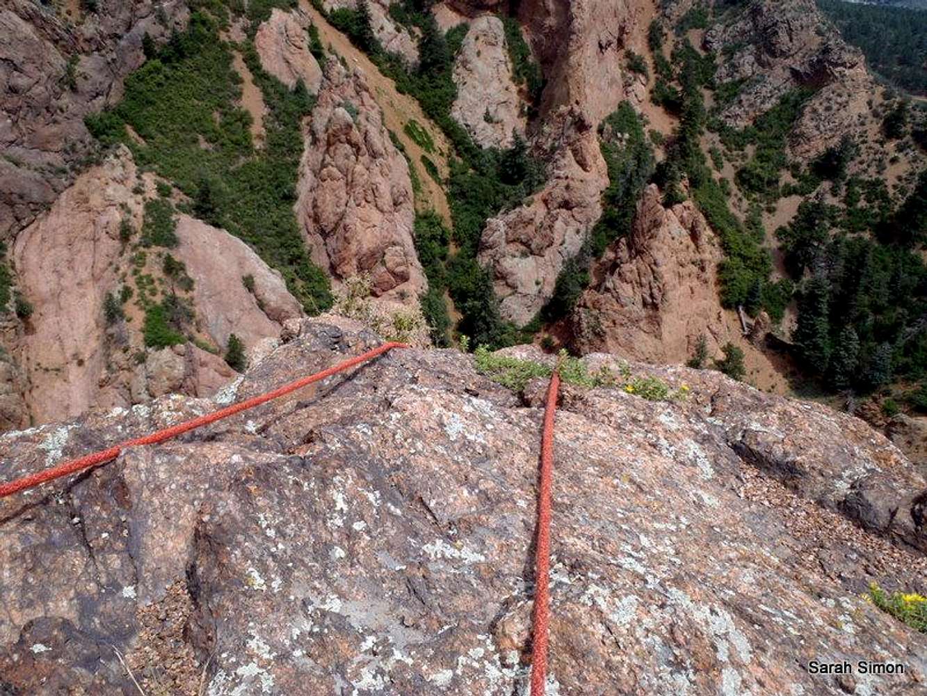
Looking down from the top
View High-Resolution Image
Looking down from the top
Looking down the last pitch of the Army Route from the top of "The Pinnacle."
14 Aug 2011
« PREV
NEXT »
Sarah Simon
on
Jan 23, 2012 5:50 pm
Comments & voting
Other parents
Lat/Lon:
39.79100°N / 104.876°W
Image ID:
772633
1130 Hits
74.01
% Score
4
Votes
Log in to vote
Comments
No comments posted yet.
to post!
Don't have an account?
Army Route 5.5-5.7
(Album)
« PREV
Viewing
#4 of 12
GALLERY
NEXT »
Sarah Simon's Image Gallery
« PREV
Viewing
#1988 of 5480
GALLERY
NEXT »
×
You need to login in order to vote!
User Name
Password
Remember me
Forgot your password?
Log me out when I close my browser.
Keep me logged in all the time.
sign in as a user
Don't have an account?
Register now for FREE
Rating available
Suggested routes for you
People who climb the same things as you
Comments Available
Create Albums
Register Here


