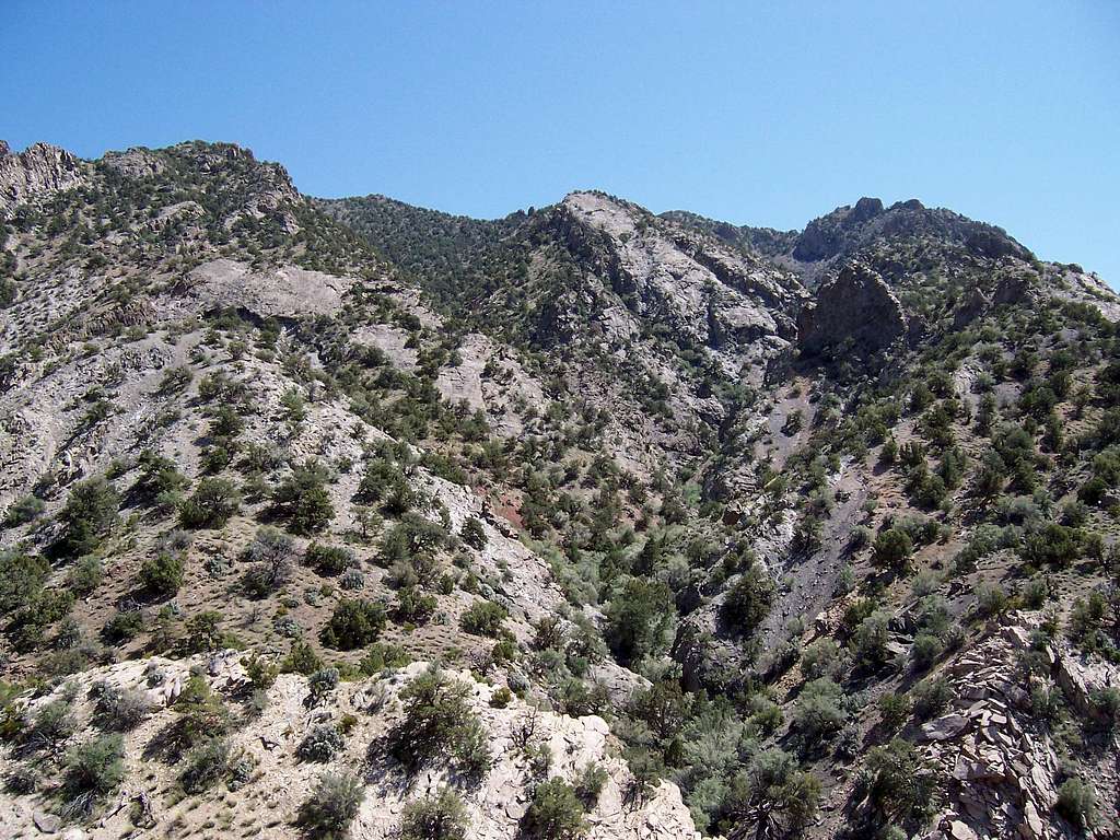
The summit is the rounded bump to the left of center in this pic and the northridge line we took is to the left. You first have to work your way across a couple slabby areas (visible) and then up a lot of dirt and steep rocky slopes to close on the north ridge itself. Greg's route took off through the center (see map). Pic thanks to Greg.
5-14-09
