Toggle navigation
Mountains
Routes
Images
Trip Reports
Forum
What's New
People
Areas & Ranges
Articles
Trailheads
Canyons
Huts & Campgrounds
Albums
Logistical Centers
Fact Sheets
Lists
Custom Objects
Gear
Plans & Partners
WELCOME TO SUMMITPOST
SIGN IN
REGISTER
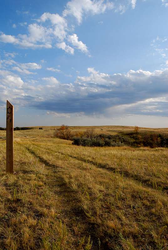
Maah Daah Hey Trail Marker
View High-Resolution Image
Maah Daah Hey Trail Marker
The lengthy Maah Daah Hey Trail combines with the Petrified Forest Loop Trail for several miles across a grassy plateau. Stretches of the trail are marked by these wooden poles. September 26, 2008
« PREV
NEXT »
distressbark
on
Feb 25, 2009 4:24 pm
Comments & voting
Other parents
Lat/Lon:
47.01889°N / 103.54967°W
Image ID:
493066
2325 Hits
72.08
% Score
2
Votes
Log in to vote
Comments
No comments posted yet.
to post!
Don't have an account?
Theodore Roosevelt National Park
(Area/Range)
You are at
the First
Image
Viewing
#1 of 1
GALLERY
You are at
the Last
Image
distressbark's Image Gallery
« PREV
Viewing
#348 of 598
GALLERY
NEXT »
Theodore Roosevelt National Park
(Area/Range)
Loading....
Teddy Roosevelt National Park
(Album)
Loading....
Maah Daah Hey South Trailhead
(Trailhead)
Loading....
×
You need to login in order to vote!
User Name
Password
Remember me
Forgot your password?
Log me out when I close my browser.
Keep me logged in all the time.
sign in as a user
Don't have an account?
Register now for FREE
Rating available
Suggested routes for you
People who climb the same things as you
Comments Available
Create Albums
Register Here


