March 13, 2005 - Mt...

March 13, 2005 - Mt...

March 13, 2005 - Mt Timpanogos (11,749') seen from Point of the Mountain (north), a ridge that separates Utah Valley from the Salt Lake Valley. The summit of Mt Timpanogos is enshrouded in the clouds and the prominent summit on the north/close end of the massif is North Peak (11,447'). The two prominent avalanche paths are known as the Cold Fusion Couloir (left) and the Y-Couloir (right). Both of these reach 50o in steepeness. Just to the right of the Y-Couloir is the NW Ridge route.

The canyon in the foreground is American Fork Canyon, and Mt Mahogony (9,001' - foreground, center) and Mt Baldy (8,758' - right) rise between Timpanogos & the Utah Valley suburbs (ca.4600').

Joe, I know that there is a Y-Couloir in LCC, so I might be mistaken with the name here. Can you check your backcountry skiing guide to make sure this is right?

PellucidWombat
on May 24, 2005 10:34 am
Image ID: 106579

Comments

Post a Comment
Viewing: 1-3 of 3
Corax

Corax - May 24, 2005 10:58 am - Voted 10/10

The way it should be!

Nice photo and great information!

If you don't know anything about a peak, this kind of captions is excactly what you want.

Dean

Dean - May 24, 2005 2:56 pm - Voted 10/10
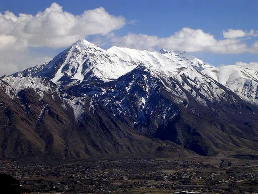
Great perspective.

Mark, this is an angle that few take pics of. Heckofa shot.

PellucidWombat

PellucidWombat - May 24, 2005 5:50 pm - Hasn't voted

Re: Great perspective.

Thanks! I was out photographing residential construction materials & techniques in Draper's housing developments that day - I hadn't even thought it would be a good outing for photographing peaks!

Viewing: 1-3 of 3