Toggle navigation
Mountains
Routes
Images
Trip Reports
Forum
What's New
People
Areas & Ranges
Articles
Trailheads
Canyons
Huts & Campgrounds
Albums
Logistical Centers
Fact Sheets
Lists
Custom Objects
Gear
Plans & Partners
WELCOME TO SUMMITPOST
SIGN IN
REGISTER
Jicarita Peak area
Additional Parents
Image
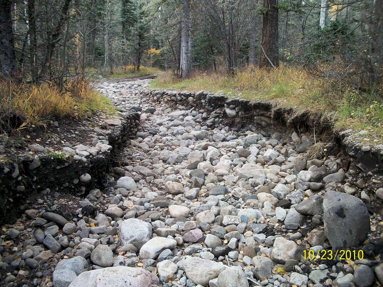
Monsoon damage
View High-Resolution Image
Monsoon damage
One day late last summer the summer monsoon dumped a huge amount of rain and washed out much of this road, changed the course of area streams and eroded portions of nearby trails.
« PREV
NEXT »
aggiegeog
on
Oct 25, 2010 9:37 pm
Comments & voting
Other parents
Lat/Lon:
36.10120°N / 105.48952°W
Image Type(s):
Hiking
Image ID:
674360
1864 Hits
73.06
% Score
3
Votes
Log in to vote
Comments
No comments posted yet.
to post!
Don't have an account?
Jicarita Peak area
(Album)
« PREV
Viewing
#4 of 14
GALLERY
NEXT »
aggiegeog's Image Gallery
« PREV
Viewing
#10 of 25
GALLERY
NEXT »
×
You need to login in order to vote!
User Name
Password
Remember me
Forgot your password?
Log me out when I close my browser.
Keep me logged in all the time.
sign in as a user
Don't have an account?
Register now for FREE
Rating available
Suggested routes for you
People who climb the same things as you
Comments Available
Create Albums
Register Here


