
|
|
Route |
|---|---|
|
|
46.09276°N / 10.97260°E |
|
|
Mixed |
|
|
Summer |
|
|
A long day |
|
|
Overview
Paganella - Gazza group
A mountain range in west Trentino
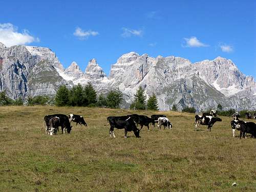
The Paganella - Gazza massif lies in the east side of Trento and consists of a plateau (Mount Gazza) and several peaks .The natural boundary of Paganella - Gazza are the Adige Valley, the Valley of Lakes, and the Giudicarie Valley with the Lake Molveno
Main peaks: Roda 2.125m ,Spaloti di Fai, Becco di Corno, Annetta, Vettorato
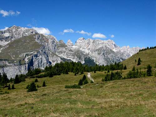
From Monte Gazza : the Brenta group
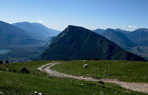
View from Monte Gazza: Monte Casale and the Lakes Valley
Monte Gazza is a real balcony on the eastern side of the Brenta Dolomites, so if you're lucky enough to do this trail in a clear day these wonderful landscapes will remain indelible in memory.
 Monte Gazza | 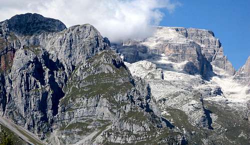 Brenta group |
Route Description
Exit Brennero Highway Trento Center take the SS 45 bis of the Sarca valley towards Vezzano. Once in Vezzano, after about 11km, take right for Ranzo and then Ciago village where you park your car.From here follow the route SP18 till Margone village where starting the climb to monte Gazza.
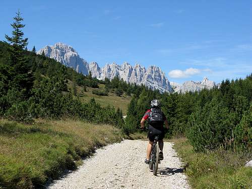
The road climbs with steep slopes along the southeastern side of the mountain. Ranzo alm at 1549 meters finally offers a great view of the Lakes Valley and Brenta group .The environment is very beautiful with spectacular views on the Brenta and it follow us throughout the journey. At the saddle of the Passo S.Giovanni 1675m take for Bocca S.Giovanni where it began a breathtaking descent up (cobbleston path )to the Ciago Village.
General:
- Start altitude: 543
- Summit altitude: 1702m
- Type: hike or MTB
- Effort: 1159m
- Difficulty:hard
- Orientation: Easy
 Monte Gazza | 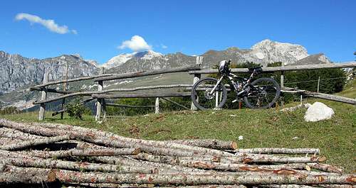 Monte Gazza |
maps and books
649 Altopiano della Paganella Dolomiti di Brenta KOMPASS 1:25.000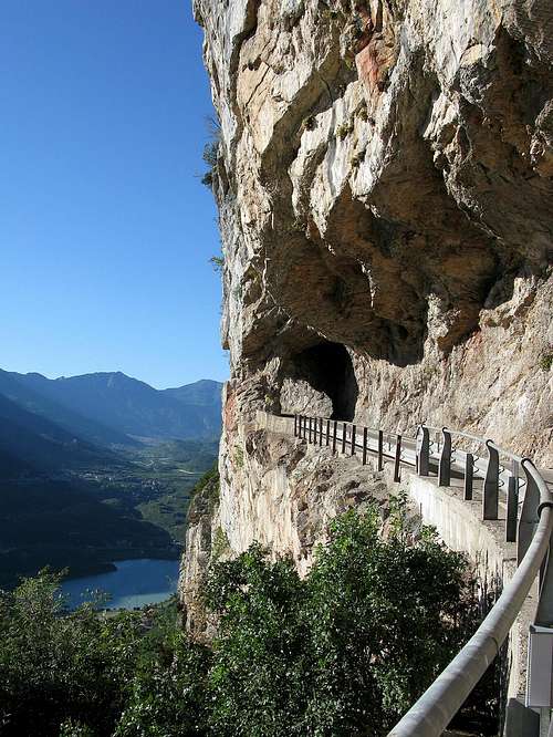 Monte gazza | 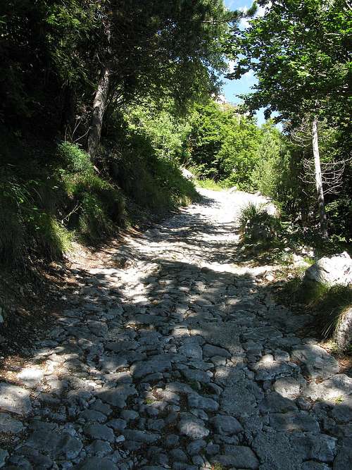 Monte Gazza |
Essential Gear
Hiking gear is sufficient.External Links
Comune di VezzanoParagliding school
Paganella