Mount Arrowsmith Day Trip
While driving past Nanaimo one day a few weeks ago, I noticed a large rugged looking mountain looming off to the West. When I looked at a map I found that it must be Mount Arrowsmith. I told my girlfriend that we should plan to hike it as a day trip. We invited along a friend who is looking to get into hiking.
We left Victoria at 0630 Sunday morning. It was beautiful hot weather. We drove south on the island highway and took exit 60 to Port Alberni. Eventually we drove through Cathedral Grove and started to climb up to the highway summit. Not long after the summit elevation sign we took a left on an unmarked gravel road called Loon Lake Main, which eventually joins up with Cameron Main. From here we followed Cameron Main until we hit Pass Main and took a left. Right before the road started to switchback we saw a skidder road off to the right and a couple cars parked on the left. We parked here and started to walk up the skidder road.
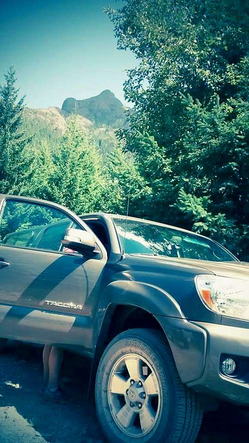
![Unnamed Image]()
View of the summit from the truck
We left the truck at 0930. After a few minutes of walking on a newish looking small gravel road, there was a fork. We kept to the right and followed a more overgrown road. At about 1km from the truck the road ended and a small trail continued straight up the mountain. It is not officially marked, but the trail is however well flagged. Of note, at the trail head there was a sign warning of blasting in the area and an old fuel can drilled into a tree.
From here the trail is quite steep. Due to the dry weather the soil was difficult to walk on because it slipped away. The trail here switch-backed through forest and our friend was convinced she could not make it due to her cramping calves. We took a few quick stops for her to stretch and told her that her cramps would slowly disappear. We were right.
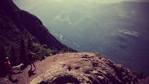
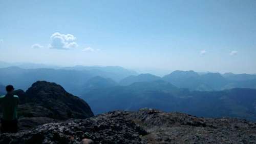
![Unnamed Image]()
Above the tree line
Eventually we broke the trees and began to see the beautiful view below. The trail became more exposed and more of a steep rock scramble. Here is was important to follow the flagging to keep on the right track. There were a few spots that required climbing on hands and feet and lifting the dog up over higher rocks.
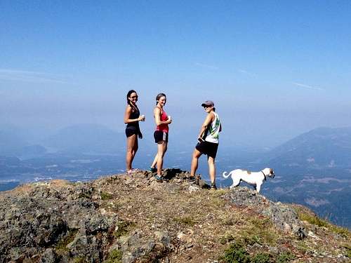
At 1130 we reached the summit and celebrated with another group from Port Alberni that had also just made it. The top of this mountain is quite amazing. It has numerous smaller peaks, and we could see small trails connecting them for people who want to traverse. There are amazing views of the ocean, Alberni valley, surrounding lakes, and towns. One thing I found weird was the helicopter pads and space shuttle-like towers all over the top of the mountain...
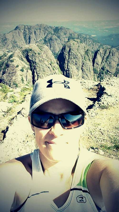
![Unnamed Image]()
Summit Selfi
![Unnamed Image]() Summit Lucky Beers!
Summit Lucky Beers!
We soaked in the view and had a few snacks for around an hour before heading back down. The hike back down was a bit scary and we all had a couple wipe-outs from slipping on the loose dry gravel. It took up 1hr 25mins to get to the truck. What a great day hike! I would definitely do it again!
Comments
No comments posted yet.