|
|
Trip Report |
|---|---|
|
|
38.90427°N / 106.29798°W |
|
|
Nov 30, 0000 |
Mt. Columbia via Frenchman Creek
First, I got this route/idea from staring at a map one day, and low and behold someone had already posted an excellent trip report on the Frenchman Creek route up Columbia http://www.14ers.com/php14ers/tripreport.php?trip=15566 My buddy and I headed up to the Frenchman Creek 4wd Trailhead around 7:30 PM in his Jeep. I have taken my Forester up to the 4wd trailhead twice, but the road is pretty rough in a few spots so we decided we would use his Jeep this time around. We hiked 2.25 miles (about 1300 feet vertical) in the dark to our campsite, an open area around treeline (shown below), which we reached at 8:30. For a reference the Colorado Trail Junction is about the halfway point to camp. We pitched our tents, made dinner and got a descent fire going before crashing at 11:30. The overnight low at camp was about 30 (was about 38 two weeks back).
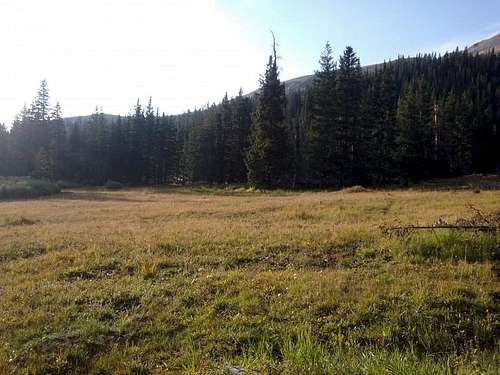
We woke up on the late side and left camp at 8:15 to grab the 2.0-ish miles to Columbia's summit. As mentioned in the trip report I linked to above, the trail from the camp area can be a little confusing. Initially the trail went through the center of the open area where we camped but it appears that a large tree-fall event rerouted it to down to the fire-pit, campsite, and creek area (there is a cairn here). You just head west along the creek, follow some cairns through tributary (and dry) creek beds for a few hundred feet, and you eventually end back up on the original trail. We reached the Frenchman Creek crossing and began the long grunt up to Columbia's ridge. You quickly gain 1500 feet (in a mile) and during the tail end of the grunt, ascend 800+ feet in less than 1/2 mile.
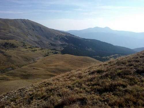
Navigation is pretty easy if you have a good topo map, and often times game trails could (and should) be used to avoid damaging vegetation on the steep slope. The one tricky-ish part about the route is locating the talus/scree crossing. I think the best way to find it is to head South on a ridge/spine to about 13,250 feet and look off to the west for a small rock outcrop. The talus/scree crossing it right above this outcrop(there is also a small cairn).
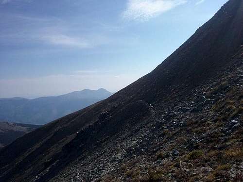
Once you get through the talus crossing the rest of the route is pretty straightforward. We chose the East ridge for the final few hundred vertical feet, all on large stable talus and summitted at 10:15 AM, sat up on summit and ate/relaxed for about 30 minutes.
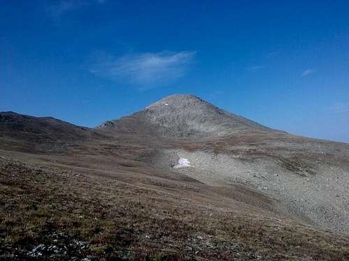
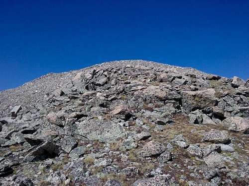
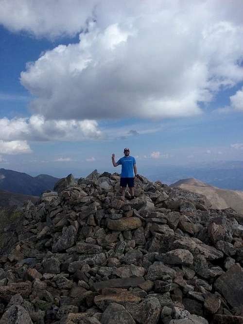
We then decided to head East to grab Pt. 13,740, and summitted it at 11:15
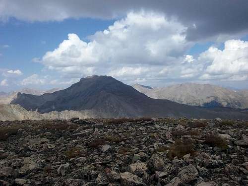
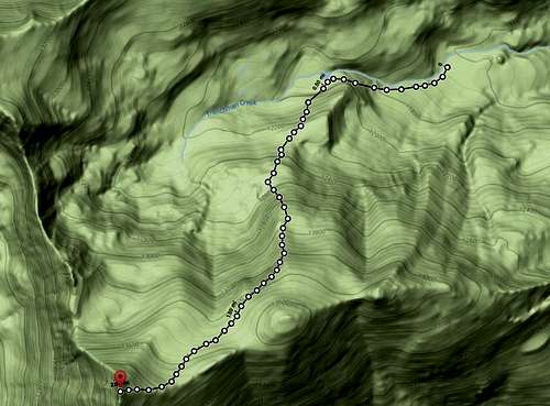
Since clouds were starting to build we bombed down the super steep ridges to Frenchman Creek Trail, and made it back to camp at 12:15. We packed up and left camp around 12:45, and made it back to the 4wd trailhead around 1:45. Below is a map, showing our route, distance, and vertical gain from camp:
Other interesting info:
- T-mobile service (4g) at campsite at treeline. Kind of weird.
- Not a single person on the mountain or trail except ...
- A group of about 6-7 college age girls sitting in a perfect circle off the trail down at 10,700 feet, all intensely and quietly reading a multi-page printout of some sort, completely unaware that my hiking budding and I even crossed their path.
- There is reliable water (Frenchman Creek) all the way up to treeline (and beyond if you follow the Frenchman Creek Trail to Harvard), with easy access at 10,400 feet (1/6 mile in), 11,000 feet (1 mile in), 11,600 feet (2 miles in), and 11,800 feet (2.25 miles in)
- There is also excellent camping above the Colorado Trail, about a mile in (11,000 feet) and there is another campsite above the one we used about 2.3 miles in at 11,800 feet
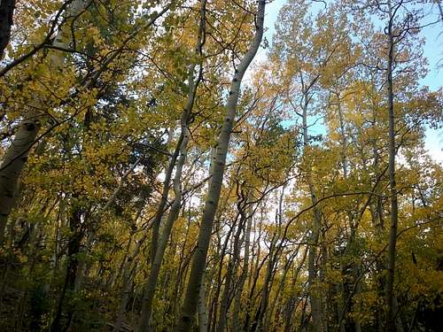
- The Aspen leaves had completely changed in the course of two weeks (since I was last up here)
